Old Maps of Squaw Grove Township, Illinois
Explore 31 old maps of Squaw Grove Township, spanning from 1937 to today. These high-resolution historic maps reveal how streets, neighborhoods, landmarks, and natural features evolved over time — perfect for genealogy, metal detecting, research, and local history exploration.
What you can do with these maps:
- See how Squaw Grove Township changed over time: Compare historical maps to modern-day views to trace roads, homesites, rail lines & more.
- View detailed metadata: Each map includes creators, publishers, year, scale, and archive source.
- Overlay maps with satellite & LiDAR: Visualize the past alongside modern tools to explore terrain & human change.
- Trusted historical sources: Maps sourced from the USGS, Library of Congress, and other archives.
- Access maps your way: View online, download high-res files, or order prints for personal or research use.
Start exploring old maps of Squaw Grove Township to uncover forgotten places, hidden landmarks, and the deep history beneath your feet.
Squaw Grove Township, IL maps
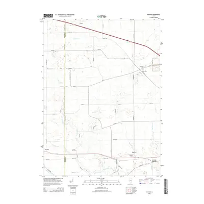
(31)- 1937 Map of Sycamore
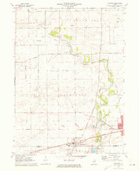
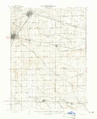 1937 Sycamore1937 Print · USGSDeKalb and Kane counties are captured here in the mid-thirties, showing a landscape defined by prairie agriculture and a bustling rail network. Genealogists can locate family-named landmarks and rural institutions like Ohio Grove Cem, East Pierce Ch, and Coltonville Sch.2 unique versions available
 - 1948 Map of Sandwich, 1965 Print
 1948 Sandwich1965 Print · USGSThe Fox River valley in the late 1940s is a landscape of established rail towns and deep rural roots. Researchers can trace the Indian Boundary Line or locate family landmarks like French Ch, Oak Mound Cem, and the Sleezer Sch.
 - 1950 Map of Sandwich
 1950 Sandwich1950 Print · USGSNorthern Illinois prairie and river valleys come alive in the mid-century, following the rail lines of the Chicago Burlington and Quincy. Trace family roots at the Sandwich Fair Grounds or local landmarks like Maramech Hill and State Boys Training School.2 unique versions available
 - 1958 Map of Aurora, 1969 Print
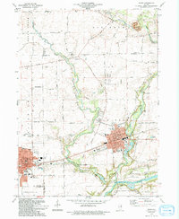
 1958 Aurora1969 Print · USGSNorthern Illinois in the late fifties shows a landscape of powerful river industry and expanding transport corridors. Genealogists and historians can trace the development of Aurora and Joliet or locate sites like the Elwood Ordnance Plant and Starved Rock.3 unique versions available
 - 1961 Map of Aurora
 1961 Aurora1961 Print · USGSNorthern Illinois at the height of the post-war era reveals a landscape of massive industrial works and thriving river towns. Genealogists and historians can trace the paths of the Lincoln Highway or locate long-standing landmarks like the Green River Ordnance Plant and Starved Rock State Park.
 - 1968 Map of Big Rock, 1970 Print
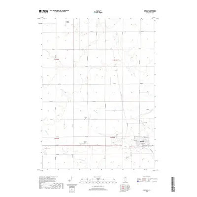
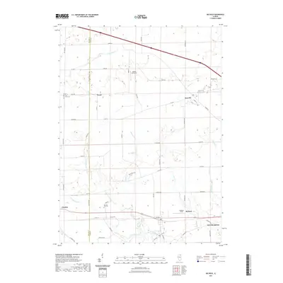
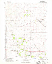 1968 Big Rock1970 Print · USGSThe Kane and DeKalb County borderlands are seen here in the late sixties, showcasing a landscape of section-line farms and quiet rural crossroads. Genealogists can trace family names at the West Big Rock Cem or follow the Chicago Burlington and Quincy rail line through Big Rock.2 unique versions available
 - 1968 Map of Hinckley, 1970 Print
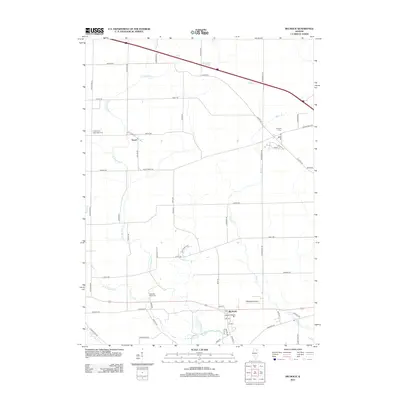
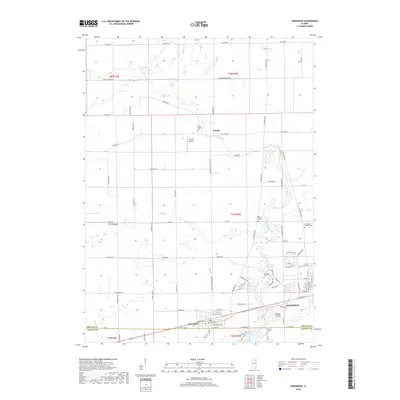
 1968 Hinckley1970 Print · USGSThe village of Hinckley and the surrounding Illinois prairie are documented here during the late 1960s. Researchers can trace the path of the Chicago Burlington and Quincy railroad or locate local landmarks like Immanuel Ch and Miller Cem.
 - 1971 Map of Plano, 1973 Print
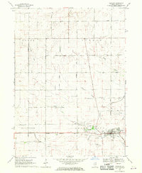
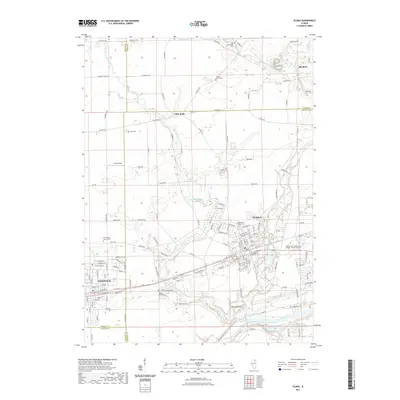
 1971 Plano1973 Print · USGSKendall County's river-and-rail corridor is captured here in the early seventies, showing the growth of Plano and Sandwich. Local historians can trace family landmarks and rural infrastructure, from Plano Cem to the Burlington Northern rail line.
 - 1971 Map of Somonauk, 1973 Print
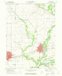
 1971 Somonauk1973 Print · USGSDe Kalb and La Salle Counties are captured in the early seventies, showing the transition between traditional farming and modern lakefront development. Trace family heritage through rural landmarks like Somonauk Church, Oak Ridge Cemetery, and the Burlington Northern rail line.
 - 1985 Map of Aurora, 1989 Print
 1985 Aurora1989 Print · USGSNortheastern Illinois is captured in the mid-1980s as suburban growth began to bridge the gap between the Fox River cities and the outer prairies. Researchers can trace the development of Naperville and Aurora or locate rural landmarks like Fairview Cem and the Illinois and Michigan Canal.
 - 1994 Map of Plano
 1994 Plano1994 Print · USGSKendall County experienced a mix of industrial rail traffic and suburban expansion in the 1990s as towns like Plano and Sandwich grew. Researchers can trace several family-named burial grounds like Welch Cem and Scott Cem or locate the old Burlington Northern line.
 - 2012 Map of Plano, 2012 Print
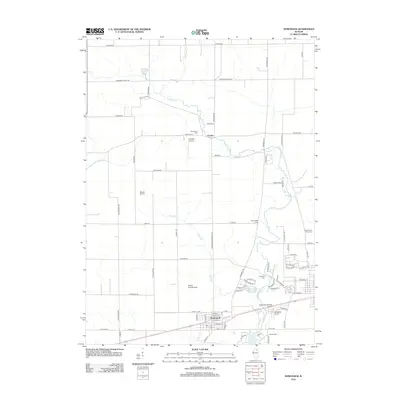
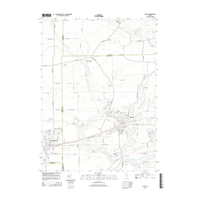
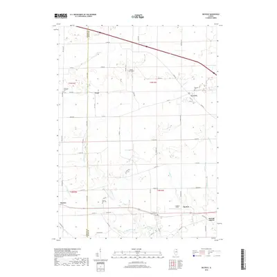
 2012 Plano2012 Print · USGSCovers Squaw Grove Township, including Plano, Sandwich, and other nearby areas
 - 2012 Map of Hinckley, 2012 Print
 2012 Hinckley2012 Print · USGSCovers Squaw Grove Township, including Hinckley, Waterman, and other nearby areas
 - 2012 Map of Somonauk, 2012 Print
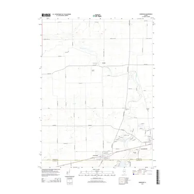
 2012 Somonauk2012 Print · USGSCovers Squaw Grove Township, including Sandwich, Somonauk, and other nearby areas
 - 2012 Map of Big Rock, 2012 Print
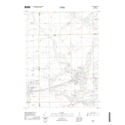
 2012 Big Rock2012 Print · USGSCovers Squaw Grove Township, including Sugar Grove, Hinckley, and other nearby areas
 - 2015 Map of Somonauk, 2015 Print
 2015 Somonauk2015 Print · USGSCovers Squaw Grove Township, including Sandwich, Somonauk, and other nearby areas
 - 2015 Map of Hinckley, 2015 Print
 2015 Hinckley2015 Print · USGSCovers Squaw Grove Township, including Hinckley, Waterman, and other nearby areas
 - 2015 Map of Big Rock, 2015 Print
 2015 Big Rock2015 Print · USGSCovers Squaw Grove Township, including Sugar Grove, Hinckley, and other nearby areas
 - 2015 Map of Plano, 2015 Print
 2015 Plano2015 Print · USGSCovers Squaw Grove Township, including Plano, Sandwich, and other nearby areas
 - 2018 Map of Hinckley, 2018 Print
 2018 Hinckley2018 Print · USGSCovers Squaw Grove Township, including Hinckley, Waterman, and other nearby areas
 - 2018 Map of Plano, 2018 Print
 2018 Plano2018 Print · USGSCovers Squaw Grove Township, including Plano, Sandwich, and other nearby areas
 - 2018 Map of Big Rock, 2018 Print
 2018 Big Rock2018 Print · USGSCovers Squaw Grove Township, including Sugar Grove, Hinckley, and other nearby areas
 - 2018 Map of Somonauk, 2018 Print
 2018 Somonauk2018 Print · USGSCovers Squaw Grove Township, including Sandwich, Somonauk, and other nearby areas
 - 2021 Map of Plano, 2021 Print
 2021 Plano2021 Print · USGSCovers Squaw Grove Township, including Plano, Sandwich, and other nearby areas
 - 2021 Map of Big Rock, 2021 Print
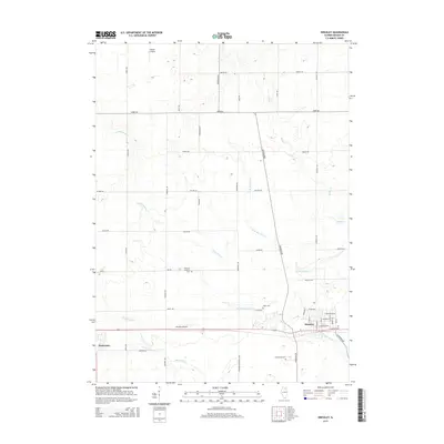
 2021 Big Rock2021 Print · USGSCovers Squaw Grove Township, including Sugar Grove, Hinckley, and other nearby areas
Showing maps 1-25 of 31
Top cities near Squaw Grove Township
- Elgin historical maps
- DeKalb historical maps
- Yorkville historical maps
- Sycamore historical maps
- Campton Hills historical maps
- Plano historical maps
See more
Top neighborhoods of Squaw Grove Township
Frequently asked questions
- What are the different types of historical maps available for Squaw Grove Township?
- What is the oldest map of Squaw Grove Township?
- Where can I purchase historical maps of Squaw Grove Township for my home or office?
- Where can I download high-res historical maps of Squaw Grove Township?
- Are there historical topographic maps available for Squaw Grove Township?
- Is there historical aerial imagery available for Squaw Grove Township?
- Where are historical maps of Squaw Grove Township sourced from?