Old Maps of The Fields, Illinois for Genealogy
Trace your family roots with 26 historic maps of The Fields. These high-res maps reveal old neighborhoods, homesites, landmarks, and streets — helping you uncover where your ancestors lived and how the area evolved over time.
- Explore historic neighborhoods: Identify where your relatives may have lived in the 1800s or 1900s.
- Compare maps over time: Trace the changes in streets, buildings, and landmarks for multi-generational research.
- Perfect for genealogy & ancestry research: Used by family historians and researchers to map out lineage and migration.
These maps are an incredible resource for exploring your personal connection to The Fields's past.
The Fields, IL maps
(26)- 1892 Map of Joliet
 1892 Joliet1892 Print · USGSWill County at the end of the nineteenth century was a bustling intersection of canal trade and heavy rail. Genealogists can trace the early streets of Joliet and Lockport or locate long-standing rural landmarks like Caton Farm and Grinton.6 unique versions available
 - 1908 Map of Wheaton
 1908 Wheaton1908 Print · USGSDuPage County was a hub of steam and electric rail travel in the years following the turn of the century. Genealogists and historians can trace the early footprints of Naperville, Downers Grove, and Wheaton, alongside notable sites like the Wheaton Driving Park.5 unique versions available
 - 1923 Map of Joliet
 1923 Joliet1923 Print · USGSJoliet and the Des Plaines River valley are shown here in the 1920s, a hub of heavy industry and vital shipping canals. Genealogists and local historians can trace family roots through numerous country schools like Spaulding School, the Du Page Church, and the expansive State Penitentiary Farm.5 unique versions available
 - 1948 Map of Wheaton, 1956 Print
 1948 Wheaton1956 Print · USGSDuPage County at the dawn of the post-war boom shows a landscape of growing towns connected by a dense network of steam and electric rails. Researchers can trace the early footprints of Naperville, Wheaton, and Downers Grove alongside smaller stops like Ontarioville and Eola.
 - 1953 Map of Naperville, 1955 Print
 1953 Naperville1955 Print · USGSDuPage County was transitioning from a rural rail corridor to a suburban heartland in the early 1950s. Genealogists and historians can trace old schoolhouse sites like Round Grove Sch and landmarks including North Central College and the Winfield Sanitarium.
 - 1953 Map of Normantown, 1955 Print
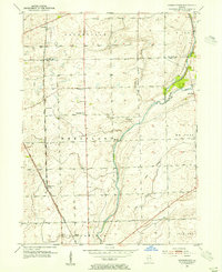 1953 Normantown1955 Print · USGSThe rural prairies of Du Page and Will counties are shown in the early fifties as the region transitioned toward modernization. Genealogists can trace early family sites like Vermont Cem, Wheatland Sch, and the rail stop at Normantown.
 - 1954 Map of Wheaton, 1960 Print
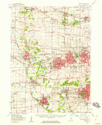 1954 Wheaton1960 Print · USGSDuPage County transitions from its agricultural roots to a bustling suburban corridor during the mid-fifties. Genealogists and historians can trace institutional landmarks like the Zace Sanitarium, Old Ontarioville Cem, and Sacred Heart Academy before later development.2 unique versions available
 - 1954 Map of Joliet, 1960 Print
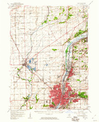 1954 Joliet1960 Print · USGSMid-century Joliet and Plainfield are captured here during a period of heavy industrial and transit growth. Researchers can trace the alignment of the Lincoln Highway and find localized details like the State Prison Farm and Caton Farm.
 - 1958 Map of Aurora, 1969 Print
 1958 Aurora1969 Print · USGSNorthern Illinois in the late fifties shows a landscape of powerful river industry and expanding transport corridors. Genealogists and historians can trace the development of Aurora and Joliet or locate sites like the Elwood Ordnance Plant and Starved Rock.3 unique versions available
 - 1961 Map of Aurora
 1961 Aurora1961 Print · USGSNorthern Illinois at the height of the post-war era reveals a landscape of massive industrial works and thriving river towns. Genealogists and historians can trace the paths of the Lincoln Highway or locate long-standing landmarks like the Green River Ordnance Plant and Starved Rock State Park.
 - 1962 Map of Normantown, 1963 Print
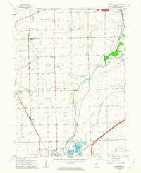 1962 Normantown1963 Print · USGSThe Illinois prairie near the Du Page and Will County line is shown here in the early sixties as it transitions from agriculture to industry. You can trace early settlement roots at Vermont Cem or locate former aviation sites like Matter Airport and Aero Airport.3 unique versions available
 - 1962 Map of Naperville, 1964 Print
 1962 Naperville1964 Print · USGSMid-century DuPage County shows a landscape transitioning from quiet river towns to bustling suburbs connected by the new East-West Tollway. Genealogists and historians can trace institutional roots at North Central College, the Winfield Sanitarium, and Naperville Cem.4 unique versions available
 - 1985 Map of Aurora, 1989 Print
 1985 Aurora1989 Print · USGSNortheastern Illinois is captured in the mid-1980s as suburban growth began to bridge the gap between the Fox River cities and the outer prairies. Researchers can trace the development of Naperville and Aurora or locate rural landmarks like Fairview Cem and the Illinois and Michigan Canal.
 - 1993 Map of Normantown, 1994 Print
 1993 Normantown1994 Print · USGSWill County’s transition from prairie farmland to bustling suburban corridor is captured here in the early nineties. Genealogists and local researchers can trace family landmarks like Vermont Cem, the Wheatland-Salem Ch, and the rail lines of the Elgin Joliet and Eastern RR.
 - 1993 Map of Naperville, 1994 Print
 1993 Naperville1994 Print · USGSThe western suburbs of Chicago are seen here in the early nineties during a period of intense suburban development. Genealogists and historians can trace local family landmarks and institutional growth at North Central College, Assumption Cem, and Fermi National Accelerator Laboratory.
 - 1998 Map of Naperville, 2002 Print
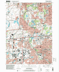 1998 Naperville2002 Print · USGSNaperville and Wheaton undergo significant suburban expansion in the late 1990s as modern transit and scientific hubs reshape the DuPage County landscape. Researchers can trace local development through landmarks like North Central College, Cantigny Park, and the Fermi National Accelerator Laboratory.
 - 2012 Map of Naperville, 2012 Print
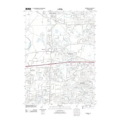 2012 Naperville2012 Print · USGSThe DuPage County suburbs are shown in a period of dense modern expansion during the early 2010s. Researchers can trace local heritage sites from North Central College to the historic Naperville Cem and the expansive Fermi National Accelerator Lab.
 - 2012 Map of Normantown, 2012 Print
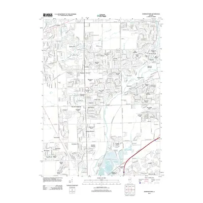 2012 Normantown2012 Print · USGSAurora and Bolingbrook are captured in this 2012 survey during a period of significant suburban growth and residential development. Genealogists and local researchers can locate historical landmarks such as Zion Lutheran Church Cem and Vermont Cem alongside newer neighborhoods like Wheatland South.
 - 2015 Map of Naperville, 2015 Print
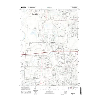 2015 Naperville2015 Print · USGSNaperville and Aurora appear at a peak of suburban development during the mid-2010s, bisected by the West Branch Du Page River. Genealogists can locate several historic burial grounds including Big Woods Cem and Saints Peter and Paul Cem.
 - 2015 Map of Normantown, 2015 Print
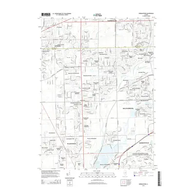 2015 Normantown2015 Print · USGSThe borderlands of DuPage and Will Counties are shown in the mid-2010s, capturing a landscape of modern suburban growth and deep-rooted heritage. Researchers can trace the Indian Boundary line and explore historical sites like the Vermont Cem and Wheatland Cem.
 - 2018 Map of Normantown, 2018 Print
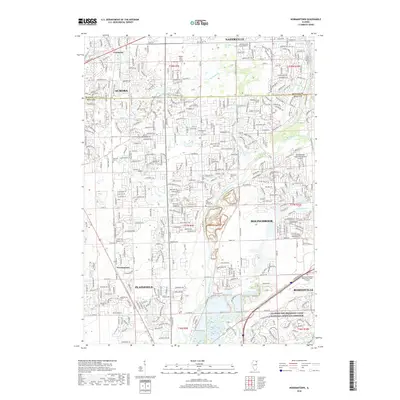 2018 Normantown2018 Print · USGSThe suburban borderlands of DuPage and Will Counties are shown here during a period of rapid development. Researchers can trace local history through the Vermont Cem, Zion Lutheran Church Cem, and the industrial corridor of the Illinois and Michigan Canal.
 - 2018 Map of Naperville, 2018 Print
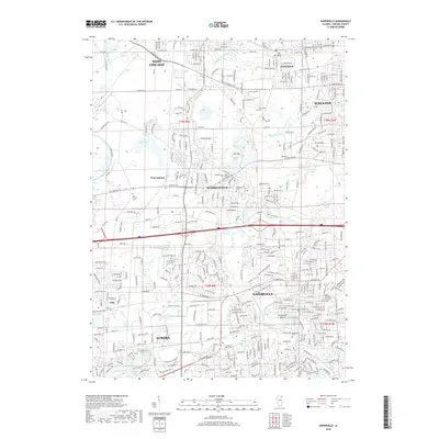 2018 Naperville2018 Print · USGSNaperville and Aurora are shown during a period of modern growth in the late 2010s, where residential expansion meets historic civic foundations. Researchers can trace local heritage through several burial sites like Naperville Cem and landmarks such as Centennial Beach and North Central College.
 - 2021 Map of Naperville, 2021 Print
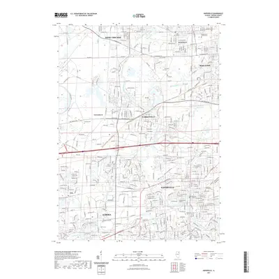 2021 Naperville2021 Print · USGSThe suburbs of DuPage County thrive in the early 21st century, showing the dense intersection of modern transit and historic town centers. Researchers can locate family sites at Warrenville Cem and Big Woods Cem or trace the Illinois Prairie Path.
 - 2021 Map of Normantown, 2021 Print
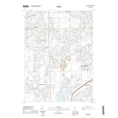 2021 Normantown2021 Print · USGSThe suburban expansion of DuPage and Will Counties is captured here in the early twenty-first century as new neighborhoods surround older landmarks. Researchers can trace the roots of these communities through the Vermont Cem and the Zion-Lutheran Church Cem.
 - 2024 Map of Naperville, 2024 Print
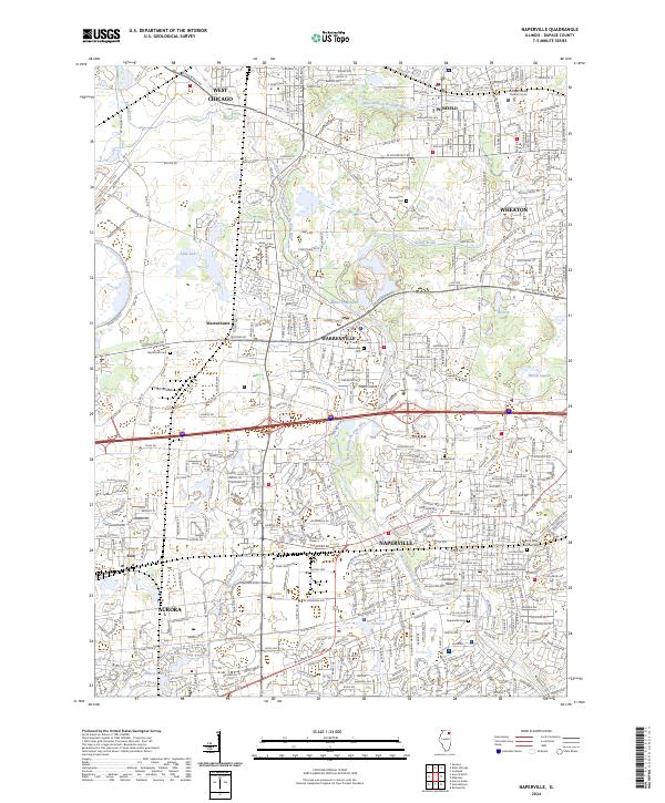 2024 Naperville2024 Print · USGSDuPage County's suburban expansion is fully realized in this recent look at the interconnected communities of Naperville and Warrenville. Researchers can locate institutional landmarks like North Central College or trace genealogical roots at Warrenville Cem and Big Woods Cem.
Showing maps 1-25 of 26
Frequently asked questions
- What are the different types of historical maps available for The Fields?
- What is the oldest map of The Fields?
- Where can I purchase historical maps of The Fields for my home or office?
- Where can I download high-res historical maps of The Fields?
- Are there historical topographic maps available for The Fields?
- Is there historical aerial imagery available for The Fields?
- Where are historical maps of The Fields sourced from?