Old Maps of Maple Grove, Illinois for Hiking & Exploration
Hike through history with 10 historic maps of Maple Grove. Explore old trails, ghost towns, and forgotten backroads — perfect for outdoor adventurers and local explorers.
- Rediscover forgotten places: Map out old mining camps, roads, and footpaths that no longer exist on modern maps.
- Layer with modern tools: Combine with LiDAR or satellite views to plan hikes through historical terrain.
- Made for exploration: Popular among hikers, overlanders, and local history lovers.
Use these maps to find adventure and explore the hidden past of Maple Grove.
Maple Grove, IL maps
(10)- 1949 Map of Olney
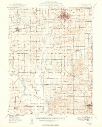 1949 Olney1949 Print · USGSSoutheastern Illinois in the late 1940s is a landscape of thriving rail hubs and scattered oil wells. Genealogists can locate family names and rural landmarks like Sodom Sch, Shields Cem, and the Baltimore and Ohio RR corridor.2 unique versions available
 - 1958 Map of Belleville, 1973 Print
 1958 Belleville1973 Print · USGSSouthern Illinois during the mid-twentieth century reveals a landscape of industrial growth and massive new reservoirs. Genealogists and historians can trace the paths of the Illinois Central RR through towns like Centralia or locate landmarks such as Emerald Mound and the Looking Glass Prairie.3 unique versions available
 - 1962 Map of Belleville
 1962 Belleville1962 Print · USGSSouthern Illinois in the late fifties reveals a landscape of industrial growth and ancient landmarks before the full expansion of the interstate system. Genealogists can trace family names and rural post offices near Centralia, Salem, and the historic Monks Mound.
 - 1971 Map of West Salem, 1973 Print
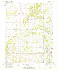 1971 West Salem1973 Print · USGSSoutheastern Illinois reveals its rural character and energy history in the early seventies as the Edwards and Richland County line meets. Genealogists and historians can trace numerous family burial sites and country churches, including Bethel Cemetery, Marion Church, and the Moravian Cemetery.
 - 1986 Map of Olney
 1986 Olney1986 Print · USGSSouth-central Illinois in the mid-eighties shows a landscape of small agricultural towns linked by historic rail lines and prairie preserves. Trace family roots and vanished rail stops near Kinmundy, the Prairie Chicken Sanctuary, and Salem.2 unique versions available
 - 2012 Map of West Salem, 2012 Print
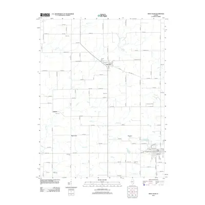 2012 West Salem2012 Print · USGSCovers Maple Grove, including West Salem, Parkersburg, and other nearby areas
 - 2015 Map of West Salem, 2015 Print
 2015 West Salem2015 Print · USGSCovers Maple Grove, including West Salem, Parkersburg, and other nearby areas
 - 2018 Map of West Salem, 2018 Print
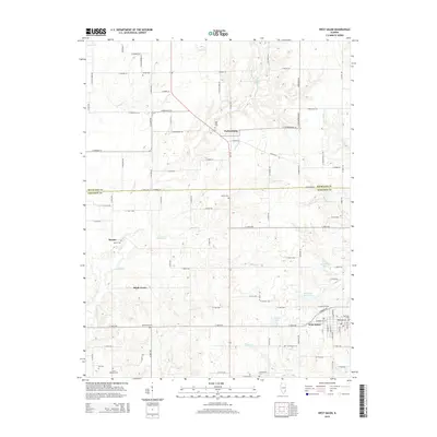
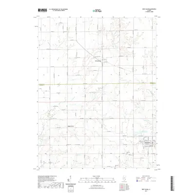
 2018 West Salem2018 Print · USGSCovers Maple Grove, including West Salem, Parkersburg, and other nearby areas
 - 2021 Map of West Salem, 2021 Print
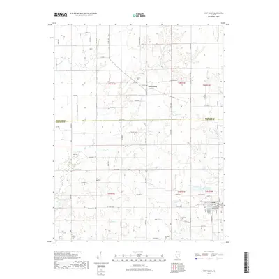
 2021 West Salem2021 Print · USGSCovers Maple Grove, including West Salem, Parkersburg, and other nearby areas
 - 2024 Map of West Salem, 2024 Print
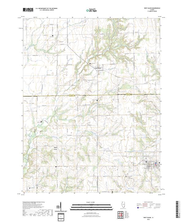 2024 West Salem2024 Print · USGSRichland and Edwards counties meet in this 2024 look at West Salem and Parkersburg, showing a landscape of small-town grids and essential water works. Trace local history through the Evangelical Cem and the waters of West Salem New Reservoir.
End of results
Showing maps 1-10 of 10
Top cities near Maple Grove
- Olney historical maps
- Albion historical maps
- Sumner historical maps
- West Salem historical maps
- Noble historical maps
- Bellmont historical maps
See more
Frequently asked questions
- What are the different types of historical maps available for Maple Grove?
- What is the oldest map of Maple Grove?
- Where can I purchase historical maps of Maple Grove for my home or office?
- Where can I download high-res historical maps of Maple Grove?
- Are there historical topographic maps available for Maple Grove?
- Is there historical aerial imagery available for Maple Grove?
- Where are historical maps of Maple Grove sourced from?