Old Maps of Mason, Illinois for Hiking & Exploration
Hike through history with 16 historic maps of Mason. Explore old trails, ghost towns, and forgotten backroads — perfect for outdoor adventurers and local explorers.
- Rediscover forgotten places: Map out old mining camps, roads, and footpaths that no longer exist on modern maps.
- Layer with modern tools: Combine with LiDAR or satellite views to plan hikes through historical terrain.
- Made for exploration: Popular among hikers, overlanders, and local history lovers.
Use these maps to find adventure and explore the hidden past of Mason.
Mason, IL maps
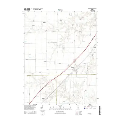
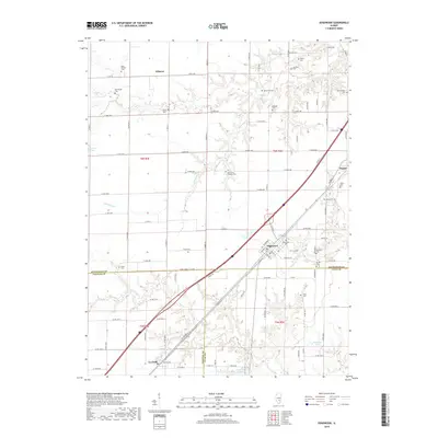
(16)- 1956 Map of Edgewood, 1957 Print
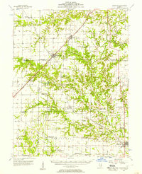 1956 Edgewood1957 Print · USGSRailroad junctions and rising oil fields define this mid-century look at the Clay and Effingham county lines. Genealogists can trace family names at St Ann Cem, Keen Chapel, and the settlement of La Clede along the ILLINOIS CENTRAL tracks.2 unique versions available
 - 1958 Map of Belleville, 1973 Print
 1958 Belleville1973 Print · USGSSouthern Illinois during the mid-twentieth century reveals a landscape of industrial growth and massive new reservoirs. Genealogists and historians can trace the paths of the Illinois Central RR through towns like Centralia or locate landmarks such as Emerald Mound and the Looking Glass Prairie.3 unique versions available
 - 1962 Map of Belleville
 1962 Belleville1962 Print · USGSSouthern Illinois in the late fifties reveals a landscape of industrial growth and ancient landmarks before the full expansion of the interstate system. Genealogists can trace family names and rural post offices near Centralia, Salem, and the historic Monks Mound.
 - 1985 Map of Hord
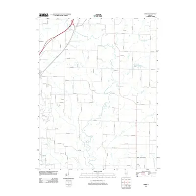
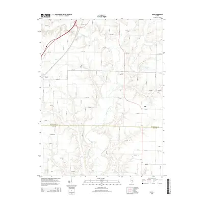
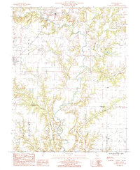 1985 Hord1985 Print · USGSEffingham and Clay counties in the mid-1980s reveal a landscape dominated by the winding Little Wabash River. Researchers can trace old family sites and rural settlements from Mason to Hord, or locate landmarks like Sublett Cem and Hill.
 - 1985 Map of Edgewood
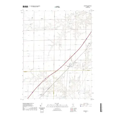
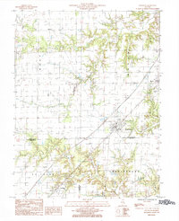 1985 Edgewood1985 Print · USGSThe prairie of Effingham and Clay counties is captured here in the mid-eighties, centered on the rail-oriented town of Edgewood. Genealogists and local historians can trace the rail corridor through Mason and La Clede or find family land near Fulfer Creek.
 - 1986 Map of Olney
 1986 Olney1986 Print · USGSSouth-central Illinois in the mid-eighties shows a landscape of small agricultural towns linked by historic rail lines and prairie preserves. Trace family roots and vanished rail stops near Kinmundy, the Prairie Chicken Sanctuary, and Salem.2 unique versions available
 - 2012 Map of Edgewood, 2012 Print
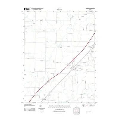 2012 Edgewood2012 Print · USGSCovers Mason, including La Clede, Edgewood, and other nearby areas
 - 2012 Map of Hord, 2012 Print
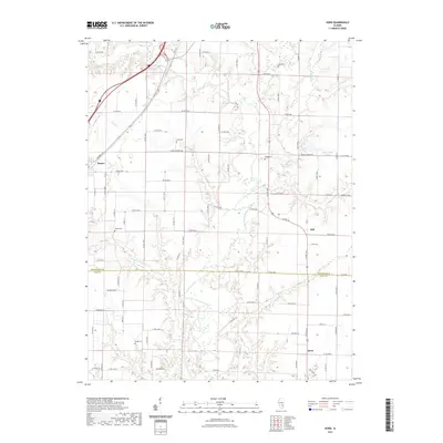
 2012 Hord2012 Print · USGSCovers Mason, including Hord, Hill, and other nearby areas
 - 2015 Map of Edgewood, 2015 Print
 2015 Edgewood2015 Print · USGSCovers Mason, including La Clede, Edgewood, and other nearby areas
 - 2015 Map of Hord, 2015 Print
 2015 Hord2015 Print · USGSCovers Mason, including Hord, Hill, and other nearby areas
 - 2018 Map of Hord, 2018 Print
 2018 Hord2018 Print · USGSCovers Mason, including Hord, Hill, and other nearby areas
 - 2018 Map of Edgewood, 2018 Print
 2018 Edgewood2018 Print · USGSCovers Mason, including La Clede, Edgewood, and other nearby areas
 - 2021 Map of Edgewood, 2021 Print
 2021 Edgewood2021 Print · USGSCovers Mason, including La Clede, Edgewood, and other nearby areas
 - 2021 Map of Hord, 2021 Print
 2021 Hord2021 Print · USGSCovers Mason, including Hord, Hill, and other nearby areas
 - 2024 Map of Hord, 2024 Print
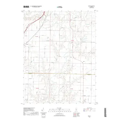
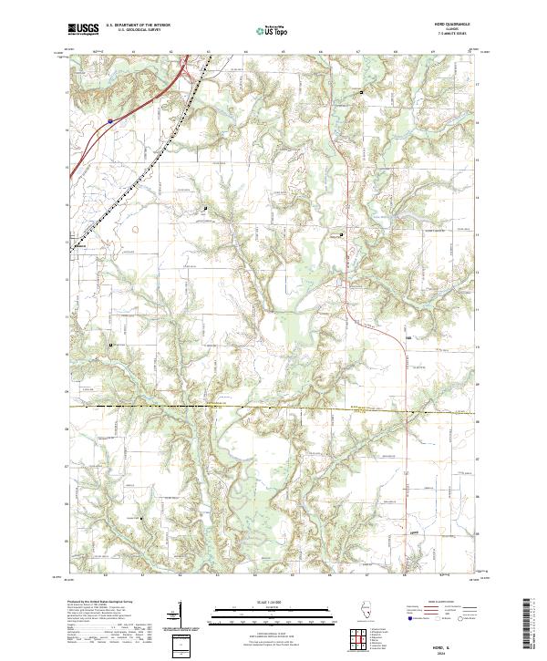 2024 Hord2024 Print · USGSSouthern Illinois at the boundary of Effingham and Clay counties shows a landscape of river-bottom woodlands and structured prairie farms. Genealogists can trace family landmarks like Fender Cem or the small settlements of Mason and Hord.
 - 2024 Map of Edgewood, 2024 Print
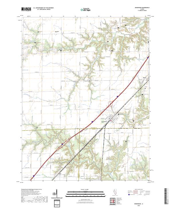 2024 Edgewood2024 Print · USGSThe borderlands of Effingham, Clay, and Fayette counties are captured here in the modern era as they balance agricultural tradition with interstate transit. Researchers can trace family history through a high density of rural burial sites like Kavanaugh Cem, Mahon Cem, and Edgewood Cem.
End of results
Showing maps 1-16 of 16
Top cities near Mason
- Effingham historical maps
- Altamont historical maps
- Teutopolis historical maps
- Saint Elmo historical maps
- St. Elmo historical maps
- Louisville historical maps
See more
Frequently asked questions
- What are the different types of historical maps available for Mason?
- What is the oldest map of Mason?
- Where can I purchase historical maps of Mason for my home or office?
- Where can I download high-res historical maps of Mason?
- Are there historical topographic maps available for Mason?
- Is there historical aerial imagery available for Mason?
- Where are historical maps of Mason sourced from?