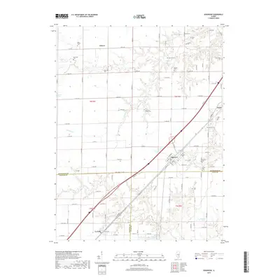
2018 Map of Edgewood
USGS Topo · Published 2018About this map
Edgewood and Mason serve as the primary nodes of settlement in this part of Illinois, situated along a prominent transportation corridor that bisects the landscape. The geography is defined by a series of creek systems, including Fulfer Cr, Limestone Cr, and Dismal Cr, which create intricate drainage patterns across the terrain. Numerous small family and community burial grounds are scattered throughout the countryside, such as the Beck William Cem, Mahon Cem, and Davidson Cem, offering a detailed map for genealogists and local historians tracking early residents of the region.
Find a feature on this map
98 named features on this map. Tap any name to fly to it.
Don’t see what you’re looking for? This feature index may not catch every label — zoom into the map to look around manually.
Map Details
Editions of this 2018 Edgewood Map
This is the sole edition of this map. No revisions or reprints were ever made.
Other maps of this area
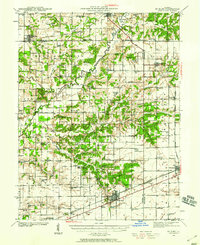
1941 · St. Elmo
USGS Topo · 1:62,500
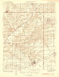
1945 · St. Elmo
USGS Topo · 1:62,500
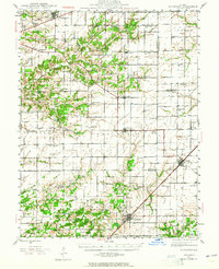
1945 · Kinmundy
USGS Topo · 1:62,500
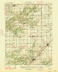
1947 · Kinmundy
USGS Topo · 1:62,500
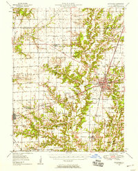
1950 · Effingham
USGS Topo · 1:62,500
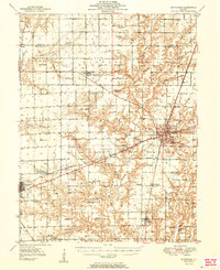
1951 · Effingham
USGS Topo · 1:62,500
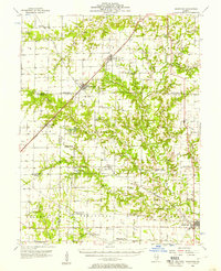
1956 · Edgewood
USGS Topo · 1:62,500
1958 · Decatur
USGS Topo · 1:250,000
1958 · Belleville
USGS Topo · 1:250,000
1961 · Decatur
USGS Topo · 1:250,000