Old Maps of Dressor, Illinois
Explore 13 old maps of Dressor, spanning from 1944 to today. These high-resolution historic maps reveal how streets, neighborhoods, landmarks, and natural features evolved over time — perfect for genealogy, metal detecting, research, and local history exploration.
What you can do with these maps:
- See how Dressor changed over time: Compare historical maps to modern-day views to trace roads, homesites, rail lines & more.
- View detailed metadata: Each map includes creators, publishers, year, scale, and archive source.
- Overlay maps with satellite & LiDAR: Visualize the past alongside modern tools to explore terrain & human change.
- Trusted historical sources: Maps sourced from the USGS, Library of Congress, and other archives.
- Access maps your way: View online, download high-res files, or order prints for personal or research use.
Start exploring old maps of Dressor to uncover forgotten places, hidden landmarks, and the deep history beneath your feet.
Dressor, IL maps
(13)- 1944 Map of Ramsey, 1976 Print
 1944 Ramsey1976 Print · USGSFayette County communities like Ramsey and Bingham thrive along the intersection of the Illinois Central and other major rail lines during the 1940s. Genealogists can trace family roots through numerous rural landmarks like Bayle City P O, Halford Chapel, and Hoffman Cem.
 - 1946 Map of Ramsey
 1946 Ramsey1946 Print · USGSCentral Illinois rail-and-river life thrives mid-century as the Kaskaskia River winds past a dense network of country schoolhouses. Genealogists and local historians can trace family roots at Shed Cem, Bayle City P O, and the Illinois State Penal Farm.2 unique versions available
 - 1958 Map of Decatur, 1971 Print
 1958 Decatur1971 Print · USGSCentral Illinois in the mid-twentieth century shows a landscape defined by industrial rail hubs and the creation of large reservoirs. Researchers can trace historic corridors like the Penn Central or locate landmarks such as Lincoln Log Cabin State Park and Lake Springfield.3 unique versions available
 - 1961 Map of Decatur
 1961 Decatur1961 Print · USGSCentral Illinois in the late fifties was a bustling corridor of rail lines and prairie commerce centered on the state capital. Genealogists and historians can trace the intricate connections between Springfield, Decatur, and dozens of smaller settlements like Nokomis and Arcola.2 unique versions available
 - 1974 Map of Ramsey, 1977 Print
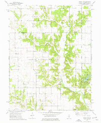 1974 Ramsey1977 Print · USGSMid-century Illinois farmland across Fayette and Montgomery counties is meticulously documented here just as modern conservation took hold. Researchers can trace numerous country burial grounds and rural parishes, including Tennessee Cem, Halford Chapel, and the lakeside Picnic Area of Ramsey Lake State Park.
 - 1982 Map of Ramsey
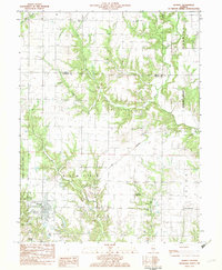 1982 Ramsey1982 Print · USGSFayette County in the early eighties shows a landscape of rail-served villages and deep-cut creek beds. Researchers can trace historic family burial sites like St Joseph Cem and Clark Cem or locate the distinctive Twin Churches.
 - 1982 Map of Litchfield
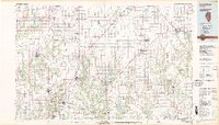 1982 Litchfield1982 Print · USGSThe coal and rail corridors of Central Illinois are captured here in the early eighties as the region balanced industrial mining with its agricultural roots. Researchers can trace family history through sites like Zelmer Memorial Cemetery or the grounds of Blackburn College and the Crown Mine No 1.
 - 1998 Map of Ramsey, 2002 Print
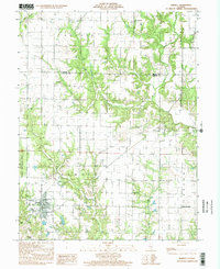 1998 Ramsey2002 Print · USGSThe Fayette County countryside south of the Shelby County line is captured here in the late nineties, centered on the village of Ramsey. Family historians can trace numerous rural burial sites and landmarks like Twin Churches, Hayes Cem, and Mt Pleasant Ch.
 - 2012 Map of Ramsey, 2012 Print
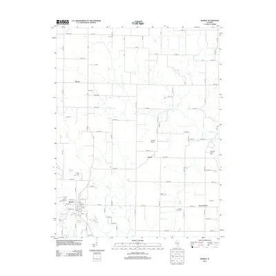 2012 Ramsey2012 Print · USGSFayette County's rural landscape is captured here in the early twenty-first century, centered on the village of Ramsey. Genealogists can trace family heritage through numerous sites like the Cothern Family Cem, Twin Churches, and Dressor.
 - 2015 Map of Ramsey, 2015 Print
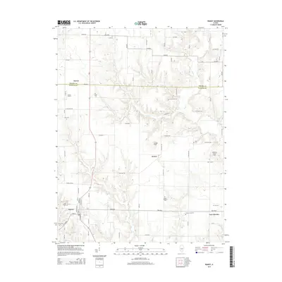 2015 Ramsey2015 Print · USGSFayette County at the mid-point of the twenty-first century's second decade shows a rural landscape anchored by Ramsey. Genealogists and historians can trace numerous family burial sites such as Cothern Family Cem and the distinctive Twin Churches settlement.
 - 2018 Map of Ramsey, 2018 Print
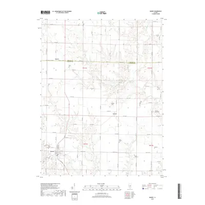 2018 Ramsey2018 Print · USGSThe rural landscape of northern Fayette County comes into focus in this recent survey of the area surrounding Ramsey. Genealogists and local historians can locate several family burial sites, including Cothern Family Cem and Saint Josephs Cem, near the settlements of Dressor and Hanson.
 - 2021 Map of Ramsey, 2021 Print
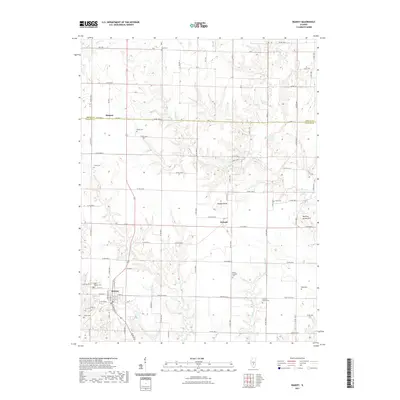 2021 Ramsey2021 Print · USGSFayette County farmland at the turn of the decade is defined by its quiet crossroads and numerous ancestral burial grounds. Researchers can trace the layout of Ramsey or locate family plots at Shedd Cem, Prater Cem, and Mount Pleasant Cem.
 - 2024 Map of Ramsey, 2024 Print
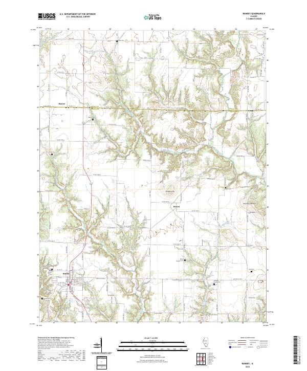 2024 Ramsey2024 Print · USGSIn the modern era, Ramsey and its rural outskirts remain defined by a deep network of family homesteads and winding creeks. Genealogists can trace family heritage through numerous burial sites like Cothern Family Cem, Shedd Cem, and Mount Pleasant Cem.
End of results
Showing maps 1-13 of 13
Top cities near Dressor
- Vandalia historical maps
- Pana historical maps
- Shelbyville historical maps
- Nokomis historical maps
- Avena historical maps
- Saint Elmo historical maps
See more
Frequently asked questions
- What are the different types of historical maps available for Dressor?
- What is the oldest map of Dressor?
- Where can I purchase historical maps of Dressor for my home or office?
- Where can I download high-res historical maps of Dressor?
- Are there historical topographic maps available for Dressor?
- Is there historical aerial imagery available for Dressor?
- Where are historical maps of Dressor sourced from?