Old Maps of Shafter, Illinois for Academic Research
Study the evolution of Shafter with 12 high-resolution historic maps. Whether you're teaching, researching, or modeling changes in land use, these maps provide essential visual documentation of urban, environmental, and geographic change.
- Analyze long-term change: Track patterns in development, transportation, and natural features.
- Ideal for environmental or urban studies: Support academic projects with primary historical map data.
- Use in the classroom or lab: Educators and researchers rely on these maps to bring historical context to life.
These maps are a powerful tool for teaching, research, and visualizing how Shafter has changed over the decades.
Shafter, IL maps
(12)- 1944 Map of Ramsey, 1976 Print
 1944 Ramsey1976 Print · USGSFayette County communities like Ramsey and Bingham thrive along the intersection of the Illinois Central and other major rail lines during the 1940s. Genealogists can trace family roots through numerous rural landmarks like Bayle City P O, Halford Chapel, and Hoffman Cem.
 - 1946 Map of Ramsey
 1946 Ramsey1946 Print · USGSCentral Illinois rail-and-river life thrives mid-century as the Kaskaskia River winds past a dense network of country schoolhouses. Genealogists and local historians can trace family roots at Shed Cem, Bayle City P O, and the Illinois State Penal Farm.2 unique versions available
 - 1958 Map of Decatur, 1971 Print
 1958 Decatur1971 Print · USGSCentral Illinois in the mid-twentieth century shows a landscape defined by industrial rail hubs and the creation of large reservoirs. Researchers can trace historic corridors like the Penn Central or locate landmarks such as Lincoln Log Cabin State Park and Lake Springfield.3 unique versions available
 - 1961 Map of Decatur
 1961 Decatur1961 Print · USGSCentral Illinois in the late fifties was a bustling corridor of rail lines and prairie commerce centered on the state capital. Genealogists and historians can trace the intricate connections between Springfield, Decatur, and dozens of smaller settlements like Nokomis and Arcola.2 unique versions available
 - 1974 Map of Bingham, 1977 Print
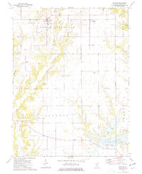 1974 Bingham1977 Print · USGSMid-1970s Fayette County comes alive in this survey of the agrarian lands around Bingham and the northern reaches of Vandalia Lake. Genealogists and local historians can trace family roots through numerous sites like Browning Cem, Pope Cem, and the rural Canaan Ch.
 - 1982 Map of Litchfield
 1982 Litchfield1982 Print · USGSThe coal and rail corridors of Central Illinois are captured here in the early eighties as the region balanced industrial mining with its agricultural roots. Researchers can trace family history through sites like Zelmer Memorial Cemetery or the grounds of Blackburn College and the Crown Mine No 1.
 - 1998 Map of Bingham, 2002 Print
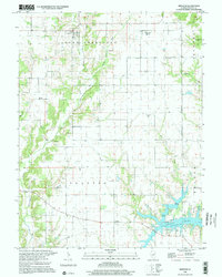 1998 Bingham2002 Print · USGSFayette County's rural townships are captured in the late nineties, featuring the village of Bingham and the recreational waters of Vandalia Lake. Genealogists can locate numerous family-named landmarks including Browning Cem, Pope Cem, and the Canaan Ch.
 - 2012 Map of Bingham, 2012 Print
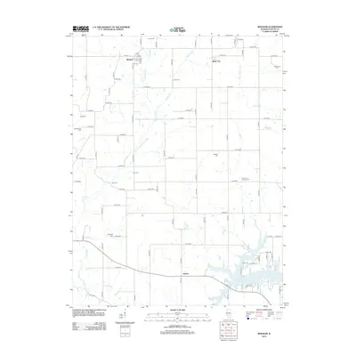 2012 Bingham2012 Print · USGSFayette County farmland near the northern tip of Vandalia Lake is captured here in the early twenty-first century. Family historians can locate numerous rural burial sites including Isbell Cem and Pope Cem near the settlements of Bingham and Bayle City.
 - 2015 Map of Bingham, 2015 Print
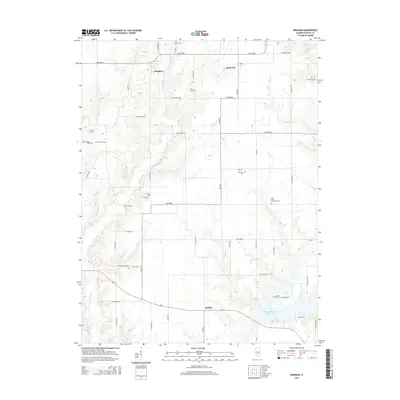 2015 Bingham2015 Print · USGSFayette County settlement and local heritage are preserved here in the mid-2010s, showing the rural landscape between Bingham and Shafter. Genealogists will find an exceptional number of burial grounds to trace, from Pope Cem and Rush Cem to the Lawler Cem near the reservoir.
 - 2018 Map of Bingham, 2018 Print
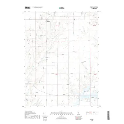 2018 Bingham2018 Print · USGSFayette County was characterized by its intricate creek systems and numerous rural cemeteries during the late twenty-tens. Researchers can trace local history through burial sites like Monclovia Cem or explore the geography around Vandalia Lake and Bingham.
 - 2021 Map of Bingham, 2021 Print
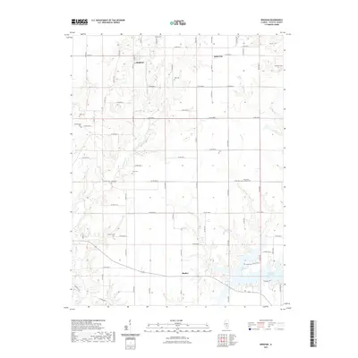 2021 Bingham2021 Print · USGSFayette County’s rural northern townships appear here in the early twenty-first century as a landscape defined by creeks and community burial grounds. Genealogists can trace family names at sites like Liberty Cem, Cook Cem, and Isbell Cem near Bingham.
 - 2024 Map of Bingham, 2024 Print
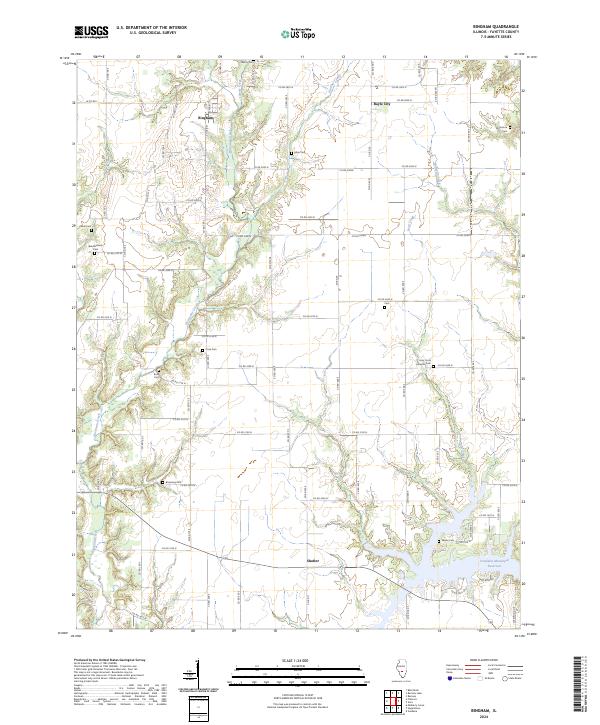 2024 Bingham2024 Print · USGSFayette County's rural townships are documented here in the early twenty-first century, showing the enduring agricultural landscape between Bingham and Shafter. Researchers can trace the location of numerous historic burial grounds including Liberty Cem, Pope Cem, and the Holy Cross Lutheran Cem.
End of results
Showing maps 1-12 of 12
Top cities near Shafter
- Greenville historical maps
- Vandalia historical maps
- Ramsey historical maps
- Pleasant Mound historical maps
- Brownstown historical maps
- Coffeen historical maps
See more
Frequently asked questions
- What are the different types of historical maps available for Shafter?
- What is the oldest map of Shafter?
- Where can I purchase historical maps of Shafter for my home or office?
- Where can I download high-res historical maps of Shafter?
- Are there historical topographic maps available for Shafter?
- Is there historical aerial imagery available for Shafter?
- Where are historical maps of Shafter sourced from?