Old Maps of Sibley, Illinois for Genealogy
Trace your family roots with 19 historic maps of Sibley. These high-res maps reveal old neighborhoods, homesites, landmarks, and streets — helping you uncover where your ancestors lived and how the area evolved over time.
- Explore historic neighborhoods: Identify where your relatives may have lived in the 1800s or 1900s.
- Compare maps over time: Trace the changes in streets, buildings, and landmarks for multi-generational research.
- Perfect for genealogy & ancestry research: Used by family historians and researchers to map out lineage and migration.
These maps are an incredible resource for exploring your personal connection to Sibley's past.
Sibley, IL maps
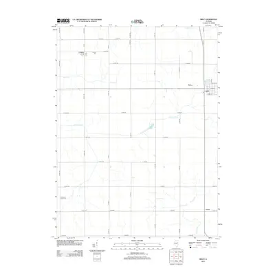
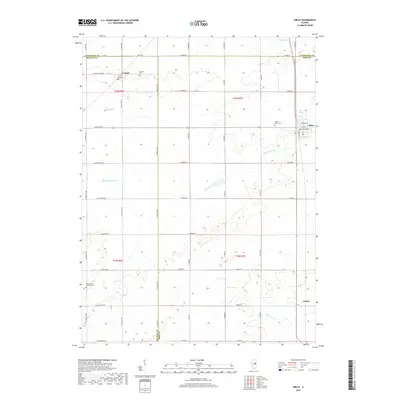
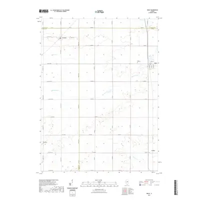
(19)- 1947 Map of Sibley, 1965 Print
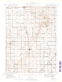 1947 Sibley1965 Print · USGSCentral Illinois prairie life is captured here in the late 1940s, showing a landscape defined by rail junctions and rural schoolhouses. Trace the Wabash RR through Sibley or find family landmarks like Mt Hope Cem and Happy Home Sch.2 unique versions available
 - 1949 Map of Sibley
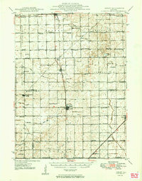 1949 Sibley1949 Print · USGSThe Illinois prairie of Ford and McLean counties is captured here in the late 1940s, a time when rail lines and country schoolhouses still anchored the rural community. Genealogists can locate family names at Mt Hope Cem and trace vanished landmarks like Cropsey Sch or Allen Sch.2 unique versions available
 - 1958 Map of Peoria, 1969 Print
 1958 Peoria1969 Print · USGSCentral Illinois thrived as a hub of education and transport during the late sixties, as the new interstate system began to reshape the prairie. Genealogists and historians can trace local landmarks like Springdale Cem, Bradley University, and the sprawling grounds of Chanute AFB.4 unique versions available
 - 1961 Map of Peoria
 1961 Peoria1961 Print · USGSCentral Illinois thrived at the intersection of river trade and rail power during the late fifties. Genealogists and local historians can trace the rail networks of the Illinois Central and Wabash, alongside landmarks like Chanute AFB and Weldon Springs State Park.
 - 1963 Map of Peoria
 1963 Peoria1963 Print · USGSCentral Illinois thrived as a rail and highway crossroads during the early sixties, centered on the bustling Illinois River valley. Genealogists and historians can trace the mid-century layout of Peoria, locate the grounds of Chanute Air Force Base, and follow historic lines like the Toledo Peoria and Western Railway.
 - 1985 Map of Fairbury
 1985 Fairbury1985 Print · USGSCentral Illinois in the mid-1980s reveals a landscape shaped by the Illinois Central Gulf rail network and the Vermilion River basin. Trace the roots of local communities from Fairbury to Pontiac, and locate landmarks like the State Correctional Center and High Chapel.2 unique versions available
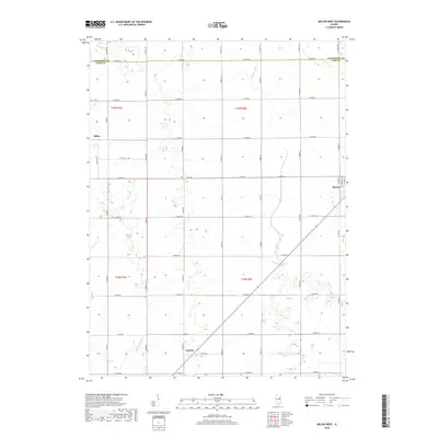
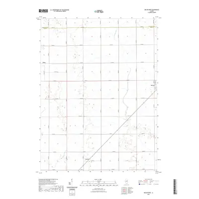
 - 1986 Map of Melvin West
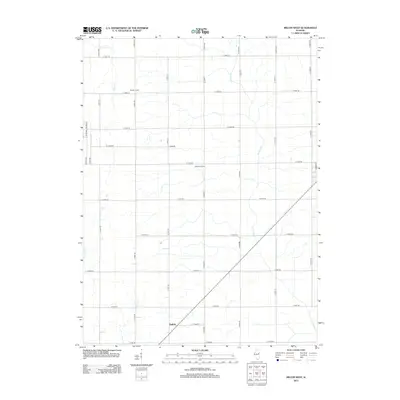
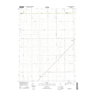
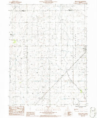 1986 Melvin West1986 Print · USGSFord County farmland in the mid-1980s is captured here at a moment of modern agricultural stability. Genealogists and local historians can trace property locations and township lines near Melvin, Sibley, and the drainage patterns of the Big Four Ditch.
 - 1986 Map of Sibley
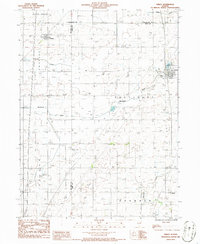 1986 Sibley1986 Print · USGSCentral Illinois prairie life and the headwaters of the Mackinaw River are captured here in the mid-1980s. Local researchers can trace family lands near Sibley, Cropsey, and Garber, or locate the historic Pump Station by Lake Sibley.
 - 1990 Map of Peoria
 1990 Peoria1990 Print · USGSCentral Illinois at the start of the nineties reveals a landscape of industrial river towns and sprawling university campuses. Researchers can trace the legacy of major institutions like Chanute Air Force Base and the University of Illinois alongside regional landmarks such as Sand Ridge State Forest.
 - 2012 Map of Melvin West, 2012 Print
 2012 Melvin West2012 Print · USGSCovers Sibley, including Melvin, Guthrie, and other nearby areas
 - 2012 Map of Sibley, 2012 Print
 2012 Sibley2012 Print · USGSCovers Sibley, including Cropsey, Garber, and other nearby areas
 - 2015 Map of Sibley, 2015 Print
 2015 Sibley2015 Print · USGSCovers Sibley, including Cropsey, Garber, and other nearby areas
 - 2015 Map of Melvin West, 2015 Print
 2015 Melvin West2015 Print · USGSCovers Sibley, including Melvin, Guthrie, and other nearby areas
 - 2018 Map of Sibley, 2018 Print
 2018 Sibley2018 Print · USGSCovers Sibley, including Cropsey, Garber, and other nearby areas
 - 2018 Map of Melvin West, 2018 Print
 2018 Melvin West2018 Print · USGSCovers Sibley, including Melvin, Guthrie, and other nearby areas
 - 2021 Map of Melvin West, 2021 Print
 2021 Melvin West2021 Print · USGSCovers Sibley, including Melvin, Guthrie, and other nearby areas
 - 2021 Map of Sibley, 2021 Print
 2021 Sibley2021 Print · USGSCovers Sibley, including Cropsey, Garber, and other nearby areas
 - 2024 Map of Sibley, 2024 Print
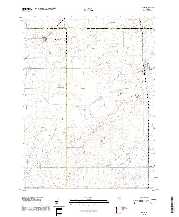 2024 Sibley2024 Print · USGSThe rural borderlands of McLean and Ford counties are shown here as they appear today, defined by a deep-rooted agricultural grid. Genealogists can locate family landmarks such as Cropsey Cem, Mount Hope Cem, and the village of Sibley.
 - 2024 Map of Melvin West, 2024 Print
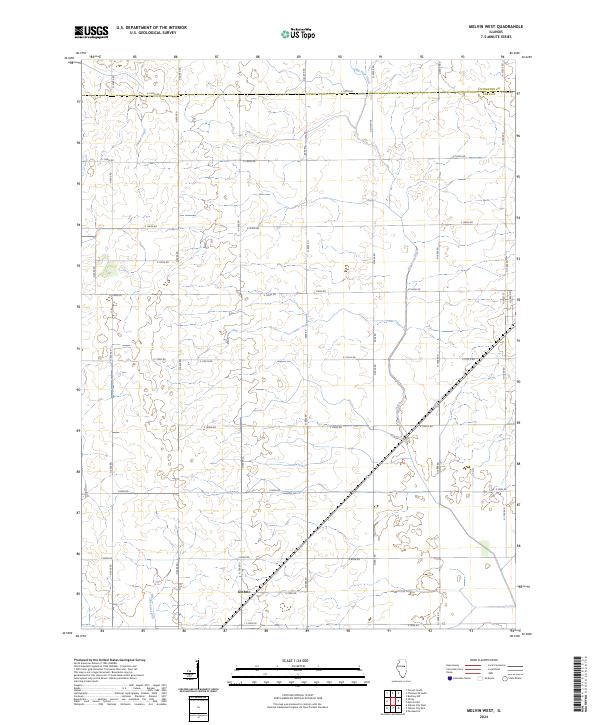 2024 Melvin West2024 Print · USGSFord County farmland is captured in recent detail, showing the rural landscape near the border with Livingston County. Genealogists and local historians can trace the area surrounding Guthrie and the drainage of Indian Creek and Dickerson Slough.
End of results
Showing maps 1-19 of 19
Top cities near Sibley
- Fairbury historical maps
- Gibson City historical maps
- Chatsworth historical maps
- Forrest historical maps
- Piper City historical maps
- Saybrook historical maps
See more
Frequently asked questions
- What are the different types of historical maps available for Sibley?
- What is the oldest map of Sibley?
- Where can I purchase historical maps of Sibley for my home or office?
- Where can I download high-res historical maps of Sibley?
- Are there historical topographic maps available for Sibley?
- Is there historical aerial imagery available for Sibley?
- Where are historical maps of Sibley sourced from?