Old Maps of Meyer, Illinois for Academic Research
Study the evolution of Meyer with 11 high-resolution historic maps. Whether you're teaching, researching, or modeling changes in land use, these maps provide essential visual documentation of urban, environmental, and geographic change.
- Analyze long-term change: Track patterns in development, transportation, and natural features.
- Ideal for environmental or urban studies: Support academic projects with primary historical map data.
- Use in the classroom or lab: Educators and researchers rely on these maps to bring historical context to life.
These maps are a powerful tool for teaching, research, and visualizing how Meyer has changed over the decades.
Meyer, IL maps
(11)- 1926 Map of Duquoin
 1926 Duquoin1926 Print · USGSSouthern Illinois coal country is at its industrial peak in the mid-twenties, with thriving rail towns and active collieries. You can trace early 20th-century family roots at Young's Chapel or locate old operations like the Big Ben Mine and Old Keller Mine.3 unique versions available
 - 1958 Map of Belleville, 1973 Print
 1958 Belleville1973 Print · USGSSouthern Illinois during the mid-twentieth century reveals a landscape of industrial growth and massive new reservoirs. Genealogists and historians can trace the paths of the Illinois Central RR through towns like Centralia or locate landmarks such as Emerald Mound and the Looking Glass Prairie.3 unique versions available
 - 1962 Map of Belleville
 1962 Belleville1962 Print · USGSSouthern Illinois in the late fifties reveals a landscape of industrial growth and ancient landmarks before the full expansion of the interstate system. Genealogists can trace family names and rural post offices near Centralia, Salem, and the historic Monks Mound.
 - 1975 Map of Sesser, 1977 Print
 1975 Sesser1977 Print · USGSDuring the mid-seventies, this area of Franklin County saw the industrial mining of the Old Ben No 21 Mine meet the growing waters of Rend Lake. Genealogists and local historians can trace rural cemeteries like Maple Hill Cem and Youngblood Cem alongside the BURLINGTON NORTHERN rail line.
 - 1985 Map of Pinckneyville
 1985 Pinckneyville1985 Print · USGSSouthern Illinois in the mid-eighties shows a landscape of prairie farms, coal extraction, and vital rail corridors. Researchers can trace the rail-side growth of Venedy Station and New Memphis Station or locate landmarks like St Libory Church and Memorial Gardens Cem.2 unique versions available
 - 1998 Map of Sesser, 2000 Print
 1998 Sesser2000 Print · USGSSouthern Illinois coal country and the shoreline of Rend Lake are captured here in the late nineties. Genealogists can locate specific family sites like Bear Point Cem, the Old Ben No 21 Mine, and Wilson Sch.
 - 2012 Map of Sesser, 2012 Print
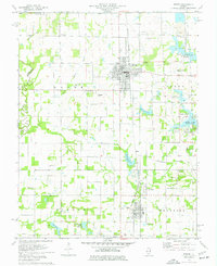
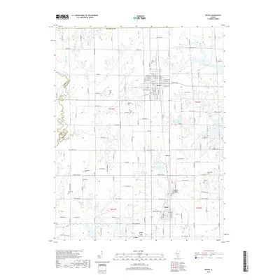
 2012 Sesser2012 Print · USGSCovers Meyer, including Sesser, Valier, and other nearby areas
 - 2015 Map of Sesser, 2015 Print
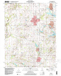
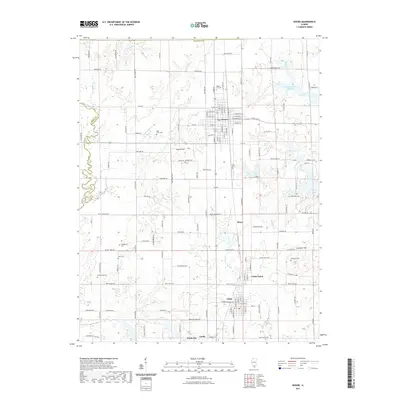
 2015 Sesser2015 Print · USGSCovers Meyer, including Sesser, Valier, and other nearby areas
 - 2018 Map of Sesser, 2018 Print
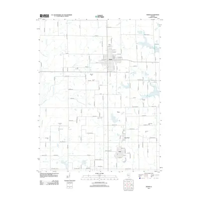
 2018 Sesser2018 Print · USGSCovers Meyer, including Sesser, Valier, and other nearby areas
 - 2021 Map of Sesser, 2021 Print
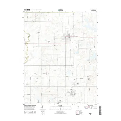
 2021 Sesser2021 Print · USGSCovers Meyer, including Sesser, Valier, and other nearby areas
 - 2024 Map of Sesser, 2024 Print
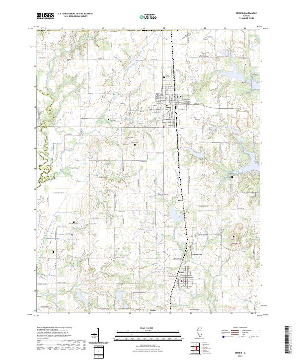 2024 Sesser2024 Print · USGSFranklin County's coal-belt heritage is visible in this contemporary survey of the area around Sesser and Valier. Local historians can trace old family burial sites like Youngblood Cem or explore the drainage of the Little Muddy River.
End of results
Showing maps 1-11 of 11
Top cities near Meyer
- Herrin historical maps
- West Frankfort historical maps
- Benton historical maps
- Du Quoin historical maps
- Johnston City historical maps
- Spring Garden historical maps
See more
Frequently asked questions
- What are the different types of historical maps available for Meyer?
- What is the oldest map of Meyer?
- Where can I purchase historical maps of Meyer for my home or office?
- Where can I download high-res historical maps of Meyer?
- Are there historical topographic maps available for Meyer?
- Is there historical aerial imagery available for Meyer?
- Where are historical maps of Meyer sourced from?