
1926 Map of Duquoin
USGS Topo · Published 1926About this map
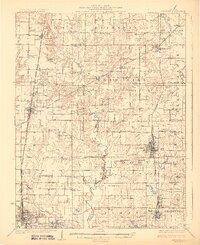
Duquoin and the surrounding coal-rich southern Illinois countryside are meticulously detailed in this mid-1920s survey. The landscape is defined by the intersection of major rail lines and the winding course of the Little Muddy River. Active industrial sites such as the Big Ben Mine and Paradise Mine underscore the region's reliance on extraction, while the dense network of one-room schoolhouses like Hickory Knoll School and Bald Hill School reveals a deeply settled rural society.
Find a feature on this map
99 named features on this map. Tap any name to fly to it.
Don’t see what you’re looking for? This feature index may not catch every label — zoom into the map to look around manually.
Map Details
Editions of this 1926 Duquoin Map
3 editions found
Other maps of this area

1909 · West Frankfort
USGS Topo · 1:62,500

1910 · Herrin
USGS Topo · 1:62,500

1910 · Murphysboro
USGS Topo · 1:62,500

1924 · Pinckneyville
USGS Topo · 1:62,500

1926 · Pinckneyville
USGS Topo · 1:62,500

1931 · Hoyleton
USGS Topo · 1:48,000

1932 · Nashville
USGS Topo · 1:62,500

1933 · Mount Vernon
USGS Topo · 1:48,000

1936 · Nashville
USGS Topo · 1:62,500

1936 · Herrin
USGS Topo · 1:62,500