Old Maps of Ellisville, Illinois for Genealogy
Trace your family roots with 20 historic maps of Ellisville. These high-res maps reveal old neighborhoods, homesites, landmarks, and streets — helping you uncover where your ancestors lived and how the area evolved over time.
- Explore historic neighborhoods: Identify where your relatives may have lived in the 1800s or 1900s.
- Compare maps over time: Trace the changes in streets, buildings, and landmarks for multi-generational research.
- Perfect for genealogy & ancestry research: Used by family historians and researchers to map out lineage and migration.
These maps are an incredible resource for exploring your personal connection to Ellisville's past.
Ellisville, IL maps
(20)- 1915 Map of Avon
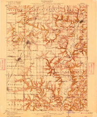 1915 Avon1915 Print · USGSWestern Illinois farm country and the Spoon River valley are shown here in the early twentieth century. Family history researchers can trace the locations of dozens of vanished rural schoolhouses like Oldtown School and Gross School, along with the small settlement of Check Row.3 unique versions available
 - 1944 Map of Avon, 1962 Print
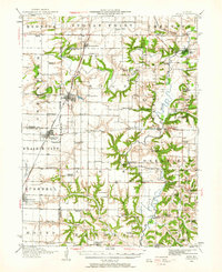 1944 Avon1962 Print · USGSThe Illinois prairie landscape between Bushnell and London Mills is shown here as it appeared in the mid-forties. Genealogists can trace family footprints across dozens of country school sites like Oldtown School and small junctions including Blyton and Babylon.
 - 1958 Map of Burlington, 1968 Print
 1958 Burlington1968 Print · USGSThe tri-state river country of Iowa, Illinois, and Missouri is captured here in the mid-fifties, dominated by the Mississippi River and major rail lines. Genealogists and historians can trace the development of river towns like Keokuk or locate the sprawling Iowa Army Ammunition Plant.4 unique versions available
 - 1961 Map of Burlington
 1961 Burlington1961 Print · USGSThe tri-state borderlands along the Mississippi River are captured here during the late fifties and early sixties, showing the vital river-and-rail economy of Iowa, Illinois, and Missouri. Genealogists and historians can trace the development of major hubs like Galesburg and Macomb alongside landmark sites such as the Iowa Ordnance Plant and the historic river town of Nauvoo.
 - 1963 Map of Burlington
 1963 Burlington1963 Print · USGSThe tri-state river country of the Mississippi and Illinois valleys comes alive in this mid-century survey. Genealogists and historians can trace the industrial and academic growth of the region, from the Iowa Ordnance Plant to campuses like Knox College and Western Illinois University.
 - 1974 Map of London Mills, 1978 Print
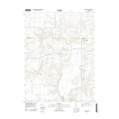
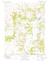 1974 London Mills1978 Print · USGSThe Spoon River valley in the mid-1970s shows a landscape of small river towns and active coal mining. Genealogists and historians can trace the paths between London Mills and Ellisville, identifying family landmarks like Heartley Cem and the Indian Ford Bridge.
 - 1974 Map of Blyton, 1978 Print
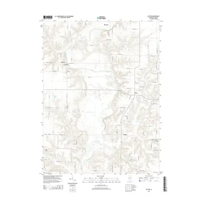
 1974 Blyton1978 Print · USGSIn the mid-1970s, this portion of Fulton County remained a landscape of winding river valleys and quiet rural townships. Local historians can trace the paths of old crossings like Buckeye Bridge and locate family landmarks such as Rigdon Cem and Sinnett Chapel Cems.2 unique versions available
 - 1985 Map of Galesburg, 1986 Print
 1985 Galesburg1986 Print · USGSWestern Illinois in the mid-eighties was a landscape of riverfront forests and industrial rail hubs. Genealogists and historians can trace the growth of Galesburg and Monmouth alongside rural landmarks like Stronghurst and the coal operations of the Strip Mine near Canton.2 unique versions available
 - 1989 Map of Galesburg
 1989 Galesburg1989 Print · USGSWestern Illinois in the late eighties reveals a landscape of industrial rail hubs and riverfront timberland. Genealogists and historians can trace the routes of the Atchison Topeka and Santa Fe RR through small towns like Stronghurst, London Mills, and Middle Grove (Middlepoint).
 - 1990 Map of Burlington
 1990 Burlington1990 Print · USGSThe tri-state confluence of Iowa, Illinois, and Missouri is mapped here at the end of the twentieth century. Genealogists and historians can trace the riverfront heritage of Burlington, Keokuk, and Fort Madison, or locate sites like the Battle of Athens State Historic Site.2 unique versions available
 - 2012 Map of Blyton, 2012 Print
 2012 Blyton2012 Print · USGSCovers Ellisville, including Blyton, Buckeye, and other nearby areas
 - 2012 Map of London Mills, 2012 Print
 2012 London Mills2012 Print · USGSCovers Ellisville, including London Mills, Fulton County, and other nearby areas
 - 2015 Map of London Mills, 2015 Print
 2015 London Mills2015 Print · USGSCovers Ellisville, including London Mills, Fulton County, and other nearby areas
 - 2015 Map of Blyton, 2015 Print
 2015 Blyton2015 Print · USGSCovers Ellisville, including Blyton, Buckeye, and other nearby areas
 - 2018 Map of Blyton, 2018 Print
 2018 Blyton2018 Print · USGSCovers Ellisville, including Blyton, Buckeye, and other nearby areas
 - 2018 Map of London Mills, 2018 Print
 2018 London Mills2018 Print · USGSCovers Ellisville, including London Mills, Fulton County, and other nearby areas
 - 2021 Map of London Mills, 2021 Print
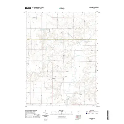 2021 London Mills2021 Print · USGSCovers Ellisville, including London Mills, Fulton County, and other nearby areas
 - 2021 Map of Blyton, 2021 Print
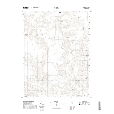 2021 Blyton2021 Print · USGSCovers Ellisville, including Blyton, Buckeye, and other nearby areas
 - 2024 Map of Blyton, 2024 Print
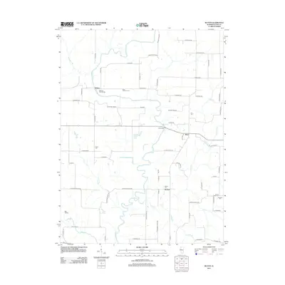
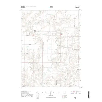
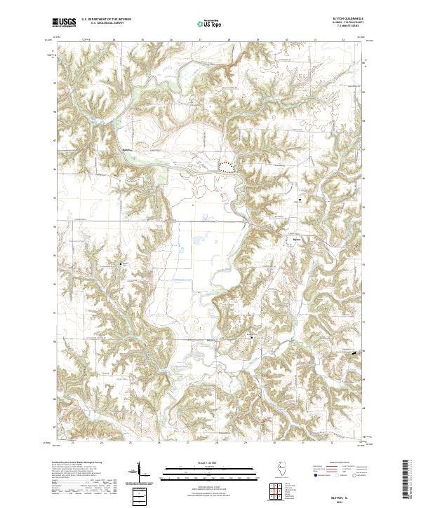 2024 Blyton2024 Print · USGSFulton County is documented here in the mid-2020s, showing a river-carved landscape of small settlements and traditional crossings. Genealogists and historians can trace family land near Whites Ferry or locate burials at Rigdon Cem and Wiley Cem.
 - 2024 Map of London Mills, 2024 Print
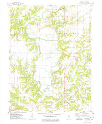
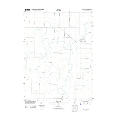
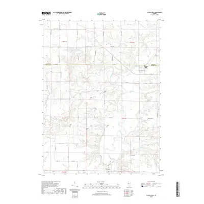
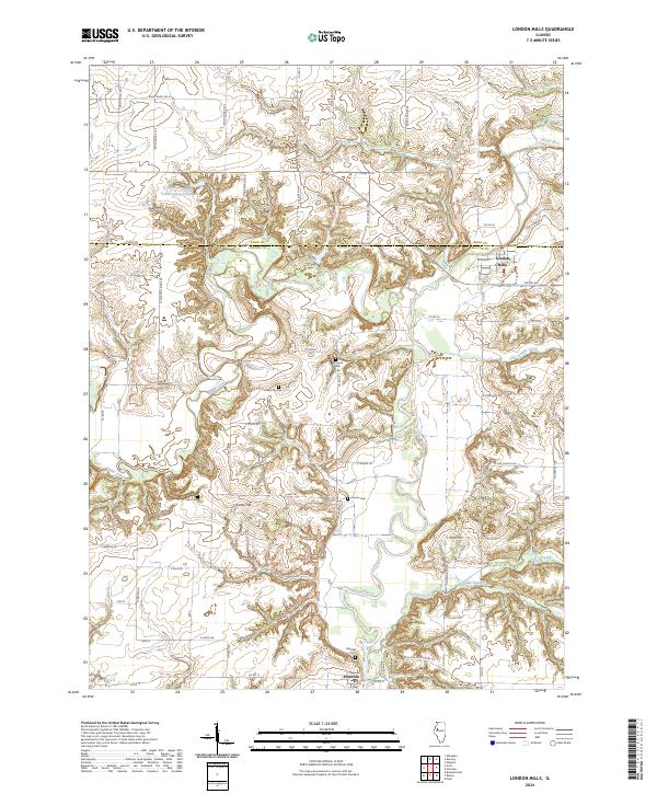 2024 London Mills2024 Print · USGSThe Spoon River valley in Knox and Fulton Counties is captured here in the modern era. Genealogists can locate several historic burial sites like Pleasant Hill Cem and Landon Cem near the riverfront settlements of London Mills and Ellisville.
End of results
Showing maps 1-20 of 20
Top cities near Ellisville
- Canton historical maps
- Abingdon historical maps
- Bushnell historical maps
- Lewistown historical maps
- Cuba historical maps
- Avon historical maps
See more
Frequently asked questions
- What are the different types of historical maps available for Ellisville?
- What is the oldest map of Ellisville?
- Where can I purchase historical maps of Ellisville for my home or office?
- Where can I download high-res historical maps of Ellisville?
- Are there historical topographic maps available for Ellisville?
- Is there historical aerial imagery available for Ellisville?
- Where are historical maps of Ellisville sourced from?