Old Maps of Liverpool, Illinois for Metal Detecting
Plan your next treasure hunt with 30 historic maps of Liverpool. Find old homesites, ghost towns, trails, and gathering spots that may be lost to time — perfect for identifying promising metal detecting locations.
- Locate forgotten sites: Uncover places like long-lost settlements, abandoned rail lines, or gathering spots.
- Plan better hunts: Use map overlays combined with LiDAR or satellite views to narrow in on historically rich areas.
- Made for detectorists: Thousands of hobbyists use these maps to discover relics, coins, and hidden history.
Use these historic maps to boost your research and find new opportunities beneath the surface of Liverpool.
Liverpool, IL maps
(30)- 1925 Map of Havana
 1925 Havana1925 Print · USGSThe Illinois River valley in the mid-1920s reveals a bustling corridor of coal mining and rail transport centered on Havana and Lewistown. Genealogists and historians can locate dozens of country schools and churches, such as Morning Star School and Mound Chapel.3 unique versions available
 - 1929 Map of Manito, 1972 Print
 1929 Manito1972 Print · USGSMason and Fulton counties in the late 1920s reveal a landscape of deep river bottoms and newly drained prairie. Researchers can trace family history through a dense network of country schools and churches like Coon Sch and Macedonia Ch, or locate the path of the Chicago and Illinois Midland railway.
 - 1932 Map of Manito
 1932 Manito1932 Print · USGSThe Illinois River valley in the early 1930s showcases a landscape of intricate drainage ditches and river-bottom hunting clubs near Manito. Researchers can trace rural lineages through dozens of named sites like Eureka Sch, Ebenezer Ch, and Wessling Cem.3 unique versions available
 - 1947 Map of St. David, 1982 Print
 1947 St. David1982 Print · USGSFulton County industrial and river life are captured here in the late 1940s as large-scale extraction reshapes the prairie. Genealogists can trace family footprints at Salem Cem or locate vanished rural schools such as Elm Tree Sch and Maples Mill.
 - 1948 Map of St. David
 1948 St. David1948 Print · USGSCoal country meets the Illinois River valley in the late 1940s as strip mining reshapes the landscape near St. David. Genealogists can locate numerous country schools like Science Hill Sch and Morning Star Sch alongside the Chicago Burlington and Quincy rail line.2 unique versions available
 - 1949 Map of Havana
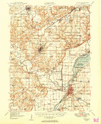 1949 Havana1949 Print · USGSThe Illinois River valley in the late 1940s reveals a landscape transitioning between coal mining and conservation. Genealogists and local historians can trace family roots through dozens of rural schools and landmarks like Dickson Mounds State Park, Mound Chapel, and the St Marys Cem near Lewistown.3 unique versions available
 - 1958 Map of Burlington, 1968 Print
 1958 Burlington1968 Print · USGSThe tri-state river country of Iowa, Illinois, and Missouri is captured here in the mid-fifties, dominated by the Mississippi River and major rail lines. Genealogists and historians can trace the development of river towns like Keokuk or locate the sprawling Iowa Army Ammunition Plant.4 unique versions available
 - 1958 Map of Peoria, 1969 Print
 1958 Peoria1969 Print · USGSCentral Illinois thrived as a hub of education and transport during the late sixties, as the new interstate system began to reshape the prairie. Genealogists and historians can trace local landmarks like Springdale Cem, Bradley University, and the sprawling grounds of Chanute AFB.4 unique versions available
 - 1961 Map of Burlington
 1961 Burlington1961 Print · USGSThe tri-state borderlands along the Mississippi River are captured here during the late fifties and early sixties, showing the vital river-and-rail economy of Iowa, Illinois, and Missouri. Genealogists and historians can trace the development of major hubs like Galesburg and Macomb alongside landmark sites such as the Iowa Ordnance Plant and the historic river town of Nauvoo.
 - 1961 Map of Peoria
 1961 Peoria1961 Print · USGSCentral Illinois thrived at the intersection of river trade and rail power during the late fifties. Genealogists and local historians can trace the rail networks of the Illinois Central and Wabash, alongside landmarks like Chanute AFB and Weldon Springs State Park.
 - 1963 Map of Burlington
 1963 Burlington1963 Print · USGSThe tri-state river country of the Mississippi and Illinois valleys comes alive in this mid-century survey. Genealogists and historians can trace the industrial and academic growth of the region, from the Iowa Ordnance Plant to campuses like Knox College and Western Illinois University.
 - 1963 Map of Peoria
 1963 Peoria1963 Print · USGSCentral Illinois thrived as a rail and highway crossroads during the early sixties, centered on the bustling Illinois River valley. Genealogists and historians can trace the mid-century layout of Peoria, locate the grounds of Chanute Air Force Base, and follow historic lines like the Toledo Peoria and Western Railway.
 - 1982 Map of Duck Island
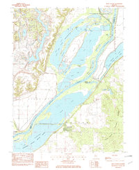 1982 Duck Island1982 Print · USGSThe Illinois River valley in the early eighties shows a dense network of backwater lakes and wildlife refuges. Trace the layout of Liverpool or locate landmarks like Goofy Ridge, Duck Island, and the Strip Mine.
 - 1985 Map of Macomb
 1985 Macomb1985 Print · USGSWest Central Illinois in the mid-eighties shows a robust network of river towns and rail corridors spanning from the Illinois River to the Lamoine. Genealogists and historians can trace the foundations of Macomb, find rural landmarks like Pennington Point, or locate early conservation sites like Argyle Lake State Park.
 - 1985 Map of Lincoln
 1985 Lincoln1985 Print · USGSMid-century Illinois comes to life in this survey of Logan and Mason counties as the interstate era reshapes the prairie. Genealogists and historians can trace rail-town development from San Jose to Kenney or locate landmarks like Rose Hill Cem and Funks Grove.
 - 1989 Map of Macomb
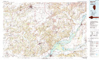 1989 Macomb1989 Print · USGSWest Central Illinois in the late eighties shows a landscape of river-bottom conservation and rail-town commerce. Researchers can trace the extensive wetlands of the Illinois River or locate historic transport hubs in Macomb, Colchester, and Beardstown.
 - 1989 Map of Lincoln
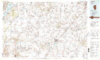 1989 Lincoln1989 Print · USGSCentral Illinois in the late eighties remains a landscape of productive prairie and vital river arteries. Genealogists and local historians can trace rural family landmarks like Rose Hill Cem, identify early aviation at Logan County Airport, or follow the Illinois Central Gulf Railroad through towns like Atlanta and Lincoln.
 - 1990 Map of Burlington
 1990 Burlington1990 Print · USGSThe tri-state confluence of Iowa, Illinois, and Missouri is mapped here at the end of the twentieth century. Genealogists and historians can trace the riverfront heritage of Burlington, Keokuk, and Fort Madison, or locate sites like the Battle of Athens State Historic Site.2 unique versions available
 - 1990 Map of Peoria
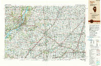 1990 Peoria1990 Print · USGSCentral Illinois at the start of the nineties reveals a landscape of industrial river towns and sprawling university campuses. Researchers can trace the legacy of major institutions like Chanute Air Force Base and the University of Illinois alongside regional landmarks such as Sand Ridge State Forest.
 - 1996 Map of Duck Island, 1997 Print
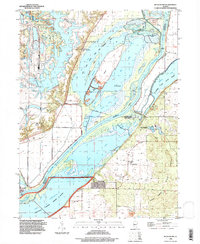 1996 Duck Island1997 Print · USGSThe Illinois River floodplain in the mid-1990s showcases a vast network of conservation lands and river settlements. Trace the dikes and backwaters surrounding Goofy Ridge, Miserable Island, and the Wolf Memorial Fish Hatchery.
 - 2012 Map of Saint David, 2012 Print
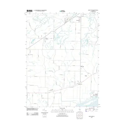 2012 Saint David2012 Print · USGSCentral Illinois river country comes into focus as the Illinois River flows past the established landing at Liverpool. Trace family roots and local history through numerous burial grounds like Maryville Cem and Mount Pleasant Cem, or explore landmarks like the Tampico Mounds.
 - 2012 Map of Duck Island, 2012 Print
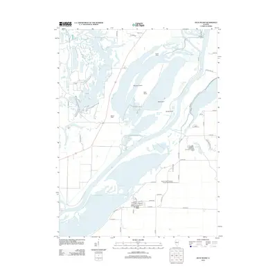 2012 Duck Island2012 Print · USGSThe Illinois River bottomlands near Goofy Ridge are shown here in the early twenty-first century, featuring a dense network of sloughs and islands. Researchers can locate Walnut Cem, the Jake Wolf Fish Hatchery, and the private Shissler Seed Company Incorporated Airport.
 - 2015 Map of Duck Island, 2015 Print
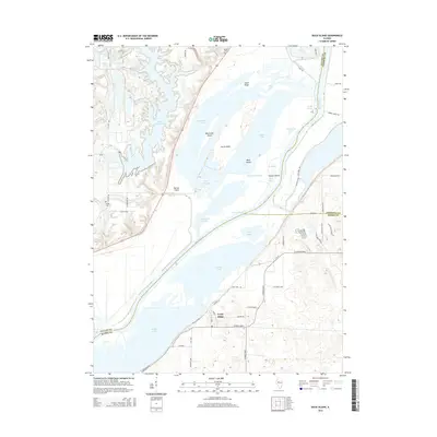 2015 Duck Island2015 Print · USGSThe Illinois River bottomlands in the mid-2010s reveal a landscape shaped by water and industry at the meeting of three counties. Local researchers can trace the unique geography of Goofy Ridge and Duck Island, or locate family sites like Walnut Cem and Pollitt Cem.
 - 2015 Map of Saint David, 2015 Print
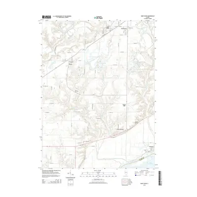 2015 Saint David2015 Print · USGSFulton County and the Illinois River bottomlands are captured here in the mid-2010s, showcasing a mix of river-town life and rural cemeteries. Researchers can trace family history at Salem Cem or Wright Cem and explore the historic settlements of Liverpool and Maples Mill.
 - 2018 Map of Duck Island, 2018 Print
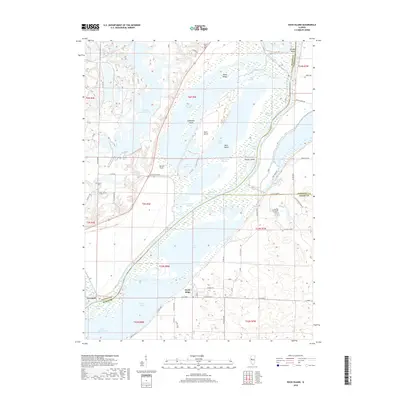 2018 Duck Island2018 Print · USGSThe Illinois River floodplain south of Peoria is captured here in the late 2010s, revealing a dense network of river islands and backwater lakes. Genealogists and local researchers can locate Liverpool, the riverside community of Goofy Ridge, and the historic Walnut Cem.
Showing maps 1-25 of 30
Top cities near Liverpool
- Canton historical maps
- Havana historical maps
- Lewistown historical maps
- Manito historical maps
- Cuba historical maps
- Glasford historical maps
See more
Frequently asked questions
- What are the different types of historical maps available for Liverpool?
- What is the oldest map of Liverpool?
- Where can I purchase historical maps of Liverpool for my home or office?
- Where can I download high-res historical maps of Liverpool?
- Are there historical topographic maps available for Liverpool?
- Is there historical aerial imagery available for Liverpool?
- Where are historical maps of Liverpool sourced from?