Old Maps of Marbletown, Illinois for Academic Research
Study the evolution of Marbletown with 15 high-resolution historic maps. Whether you're teaching, researching, or modeling changes in land use, these maps provide essential visual documentation of urban, environmental, and geographic change.
- Analyze long-term change: Track patterns in development, transportation, and natural features.
- Ideal for environmental or urban studies: Support academic projects with primary historical map data.
- Use in the classroom or lab: Educators and researchers rely on these maps to bring historical context to life.
These maps are a powerful tool for teaching, research, and visualizing how Marbletown has changed over the decades.
Marbletown, IL maps
(15)- 1930 Map of Chandlerville
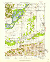 1930 Chandlerville1930 Print · USGSThe confluence of the Illinois and Sangamon rivers defines this Depression-era landscape of floodplains and island farms. Genealogists can trace family footprints across Grand Island or locate rural landmarks like Mt Olive Ch and the Chicago and Illinois Midland RR.2 unique versions available
 - 1932 Map of Chandlerville
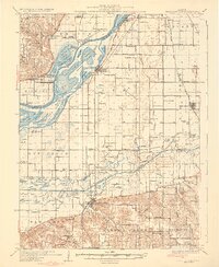 1932 Chandlerville1932 Print · USGSIn the 1930s, the Illinois River valley was a labyrinth of sloughs and landings centered around the Sangamon confluence. Genealogists can trace family roots through numerous rural schools like Blackjack Sch or explore old river sites like Snicarte and Matanzas Beach.2 unique versions available
 - 1958 Map of Burlington, 1968 Print
 1958 Burlington1968 Print · USGSThe tri-state river country of Iowa, Illinois, and Missouri is captured here in the mid-fifties, dominated by the Mississippi River and major rail lines. Genealogists and historians can trace the development of river towns like Keokuk or locate the sprawling Iowa Army Ammunition Plant.4 unique versions available
 - 1961 Map of Burlington
 1961 Burlington1961 Print · USGSThe tri-state borderlands along the Mississippi River are captured here during the late fifties and early sixties, showing the vital river-and-rail economy of Iowa, Illinois, and Missouri. Genealogists and historians can trace the development of major hubs like Galesburg and Macomb alongside landmark sites such as the Iowa Ordnance Plant and the historic river town of Nauvoo.
 - 1963 Map of Burlington
 1963 Burlington1963 Print · USGSThe tri-state river country of the Mississippi and Illinois valleys comes alive in this mid-century survey. Genealogists and historians can trace the industrial and academic growth of the region, from the Iowa Ordnance Plant to campuses like Knox College and Western Illinois University.
 - 1975 Map of Chandlerville NW, 1976 Print
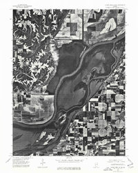 1975 Chandlerville NW1976 Print · USGSThe Illinois riverfront near Mason County comes to life in this mid-seventies aerial survey. Researchers can trace the layout of Bath and study the detailed agricultural patterns and backwaters surrounding the Illinois River.
 - 1981 Map of Bath
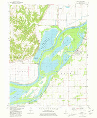 1981 Bath1981 Print · USGSThe Illinois River valley in the early 1980s is captured here in a detailed look at the wetland environments of Mason and Fulton Counties. Researchers can trace the old railroad grade near Bluff City or locate riverfront landmarks like Holmes Landing and the village of Bath.
 - 1985 Map of Macomb
 1985 Macomb1985 Print · USGSWest Central Illinois in the mid-eighties shows a robust network of river towns and rail corridors spanning from the Illinois River to the Lamoine. Genealogists and historians can trace the foundations of Macomb, find rural landmarks like Pennington Point, or locate early conservation sites like Argyle Lake State Park.
 - 1989 Map of Macomb
 1989 Macomb1989 Print · USGSWest Central Illinois in the late eighties shows a landscape of river-bottom conservation and rail-town commerce. Researchers can trace the extensive wetlands of the Illinois River or locate historic transport hubs in Macomb, Colchester, and Beardstown.
 - 1990 Map of Burlington
 1990 Burlington1990 Print · USGSThe tri-state confluence of Iowa, Illinois, and Missouri is mapped here at the end of the twentieth century. Genealogists and historians can trace the riverfront heritage of Burlington, Keokuk, and Fort Madison, or locate sites like the Battle of Athens State Historic Site.2 unique versions available
 - 2012 Map of Bath, 2012 Print
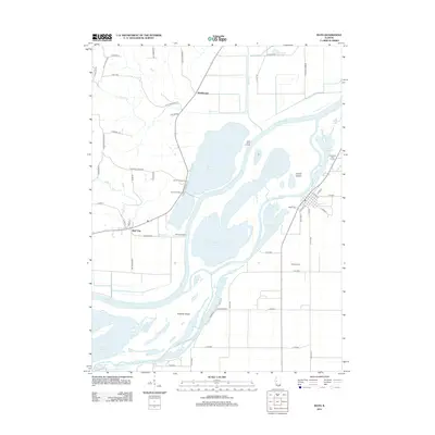 2012 Bath2012 Print · USGSCovers Marbletown, including Bath, Bluff City, and other nearby areas
 - 2015 Map of Bath, 2015 Print
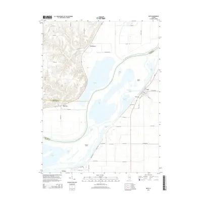 2015 Bath2015 Print · USGSCovers Marbletown, including Bath, Bluff City, and other nearby areas
 - 2018 Map of Bath, 2018 Print
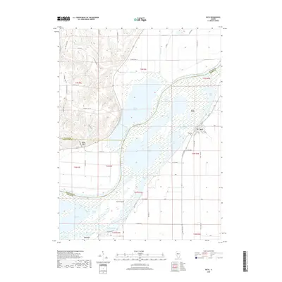 2018 Bath2018 Print · USGSCovers Marbletown, including Bath, Bluff City, and other nearby areas
 - 2021 Map of Bath, 2021 Print
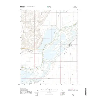 2021 Bath2021 Print · USGSCovers Marbletown, including Bath, Bluff City, and other nearby areas
 - 2024 Map of Bath, 2024 Print
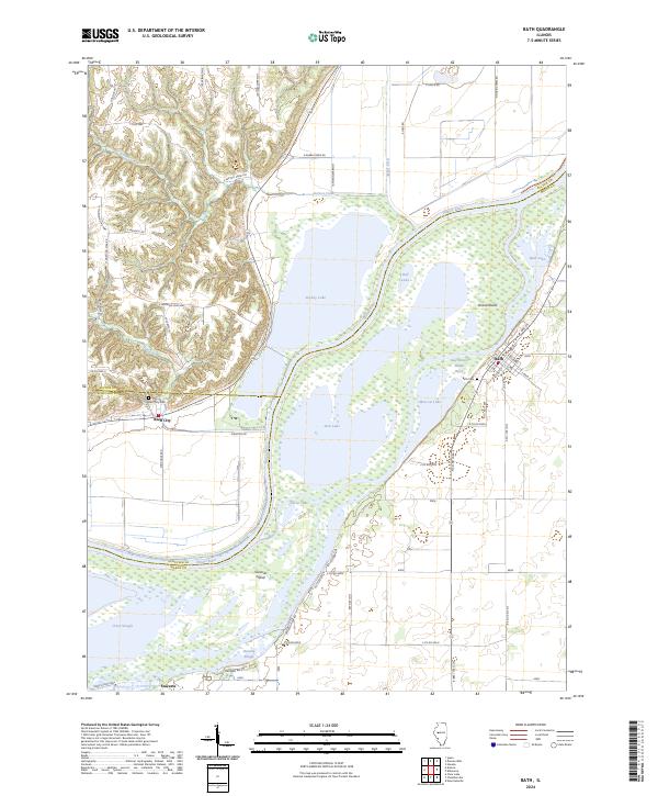 2024 Bath2024 Print · USGSThe Illinois River valley in the early 2020s reveals a complex landscape of floodplain islands and riverfront settlements. Genealogists and local historians can trace the sites of Bath and Bluff City, along with many named backwaters like Stickey Lake and Moscow Lake.
End of results
Showing maps 1-15 of 15
Top cities near Marbletown
- Beardstown historical maps
- Havana historical maps
- Lewistown historical maps
- Astoria historical maps
- Vermont historical maps
- Chandlerville historical maps
See more
Frequently asked questions
- What are the different types of historical maps available for Marbletown?
- What is the oldest map of Marbletown?
- Where can I purchase historical maps of Marbletown for my home or office?
- Where can I download high-res historical maps of Marbletown?
- Are there historical topographic maps available for Marbletown?
- Is there historical aerial imagery available for Marbletown?
- Where are historical maps of Marbletown sourced from?