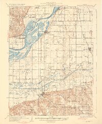
1932 Map of Chandlerville
USGS Topo · Published 1932About this map
Grand Island dominates the alluvial landscape where the Illinois River and the Sangamon converge, creating a complex network of backwaters and side channels. In the early 1930s, this area supported a mix of river-based commerce and upland farming, with the Chicago and Illinois Midland RR cutting through the eastern bottomlands. Settlements like Bath and Chandlerville serve as anchors for the rural population, while specialized landings such as West Point Landing and Holmes Landing reflect the importance of river access before modern highway infrastructure was fully established.
Find a feature on this map
118 named features on this map. Tap any name to fly to it.
Don’t see what you’re looking for? This feature index may not catch every label — zoom into the map to look around manually.
Map Details
Editions of this 1932 Chandlerville Map
2 editions found
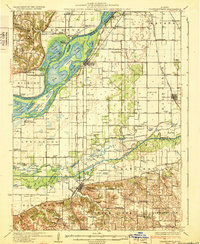
Other maps of this area
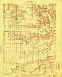
1909 · Tallula
USGS Topo · 1:62,500
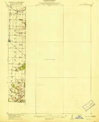
1918 · Vermont
USGS Topo · 1:62,500
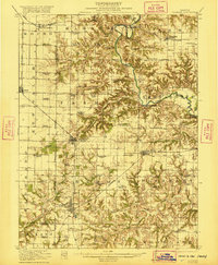
1921 · Vermont
USGS Topo · 1:62,500
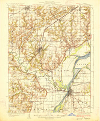
1925 · Havana
USGS Topo · 1:62,500
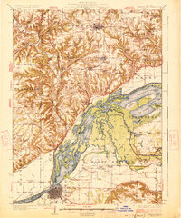
1926 · Beardstown
USGS Topo · 1:62,500
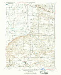
1929 · Arenzville
USGS Topo · 1:62,500
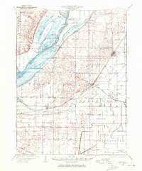
1929 · Manito
USGS Topo · 1:62,500
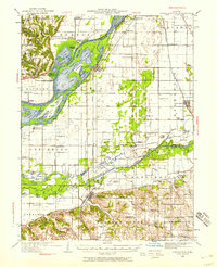
1930 · Chandlerville
USGS Topo · 1:62,500
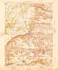
1932 · Arenzville
USGS Topo · 1:62,500
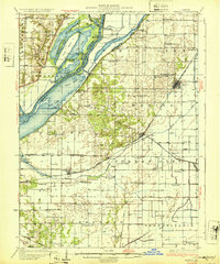
1932 · Manito
USGS Topo · 1:62,500