Old Maps of Elvaston, Illinois for Hiking & Exploration
Hike through history with 21 historic maps of Elvaston. Explore old trails, ghost towns, and forgotten backroads — perfect for outdoor adventurers and local explorers.
- Rediscover forgotten places: Map out old mining camps, roads, and footpaths that no longer exist on modern maps.
- Layer with modern tools: Combine with LiDAR or satellite views to plan hikes through historical terrain.
- Made for exploration: Popular among hikers, overlanders, and local history lovers.
Use these maps to find adventure and explore the hidden past of Elvaston.
Elvaston, IL maps
(21)- 1933 Map of Carthage, 1965 Print
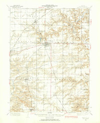 1933 Carthage1965 Print · USGSHancock County was a thriving network of rail-side towns and rural schools in the early 1930s. Researchers can trace family ties at the County Farm or locate vanished landmarks like Young America School and Middle Creek Church.
 - 1936 Map of Keokuk
 1936 Keokuk1936 Print · USGSHancock County and the Mississippi River transition into a new era of hydroelectric power and rail transit in the 1930s. Genealogists can locate dozens of country schools and churches, from Froggy Sch and Sylvanvale Sch to Sanobia Ch.3 unique versions available
 - 1937 Map of Carthage
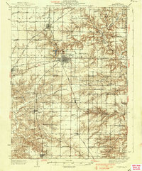 1937 Carthage1937 Print · USGSHancock County in the 1930s was a landscape defined by its rail-connected villages and a dense network of country schools. Genealogists can trace family footprints across dozens of local landmarks like Moss Ridge Cem, Young America Sch, and the County Farm.2 unique versions available
 - 1950 Map of Keokuk, 1954 Print
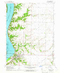
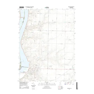
 1950 Keokuk1954 Print · USGSThe Mississippi River borderlands of Iowa and Illinois come alive in the mid-century as the Keokuk Dam reshapes the valley. Genealogists can trace a remarkable concentration of local landmarks, from Moss Cem to numerous rural schoolhouses like Rocky Run Sch and Eureka Sch.
 - 1958 Map of Burlington, 1968 Print
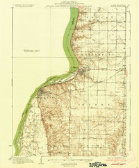
 1958 Burlington1968 Print · USGSThe tri-state river country of Iowa, Illinois, and Missouri is captured here in the mid-fifties, dominated by the Mississippi River and major rail lines. Genealogists and historians can trace the development of river towns like Keokuk or locate the sprawling Iowa Army Ammunition Plant.4 unique versions available
 - 1961 Map of Burlington
 1961 Burlington1961 Print · USGSThe tri-state borderlands along the Mississippi River are captured here during the late fifties and early sixties, showing the vital river-and-rail economy of Iowa, Illinois, and Missouri. Genealogists and historians can trace the development of major hubs like Galesburg and Macomb alongside landmark sites such as the Iowa Ordnance Plant and the historic river town of Nauvoo.
 - 1963 Map of Burlington
 1963 Burlington1963 Print · USGSThe tri-state river country of the Mississippi and Illinois valleys comes alive in this mid-century survey. Genealogists and historians can trace the industrial and academic growth of the region, from the Iowa Ordnance Plant to campuses like Knox College and Western Illinois University.
 - 1964 Map of Hamilton, 1965 Print
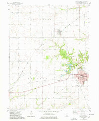
 1964 Hamilton1965 Print · USGSHancock County sits at a mid-century crossroads where the river and rail economies meet. Researchers can trace the industrial footprint of the Keokuk Dam or find family landmarks like Oakwood Cem and the Golden Point Ch.2 unique versions available
 - 1974 Map of Carthage West, 1978 Print
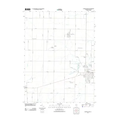
 1974 Carthage West1978 Print · USGSHancock County in the mid-1970s exhibits a landscape of organized prairie agriculture and bustling rail-junction towns. Genealogists and historians can trace the foundations of Carthage through its local institutions like Robert Morris Jr College and several burial grounds, including Moss Ridge Cem.
 - 1986 Map of Keokuk
 1986 Keokuk1986 Print · USGSThe tri-state junction of Iowa, Illinois, and Missouri comes alive in the mid-eighties as a hub of river commerce and rail transit. Researchers can trace family roots through Moss Ridge Cemetery or study industrial landmarks like the Keokuk Dam and Lock and Dam No 19.2 unique versions available
 - 1990 Map of Burlington
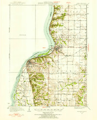
 1990 Burlington1990 Print · USGSThe tri-state confluence of Iowa, Illinois, and Missouri is mapped here at the end of the twentieth century. Genealogists and historians can trace the riverfront heritage of Burlington, Keokuk, and Fort Madison, or locate sites like the Battle of Athens State Historic Site.2 unique versions available
 - 2012 Map of Hamilton, 2012 Print
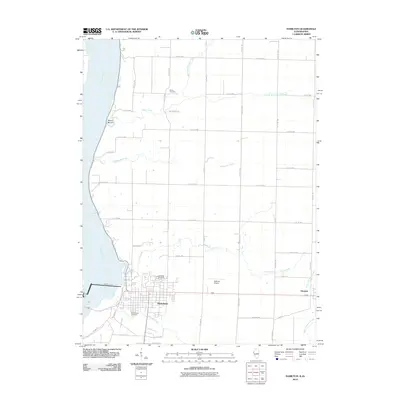 2012 Hamilton2012 Print · USGSCovers Elvaston, including Keokuk, Hamilton, and other nearby areas2 unique versions available
 - 2012 Map of Carthage West, 2012 Print
 2012 Carthage West2012 Print · USGSCovers Elvaston, including Carthage, Ferris, and other nearby areas
 - 2015 Map of Hamilton, 2015 Print
 2015 Hamilton2015 Print · USGSCovers Elvaston, including Keokuk, Hamilton, and other nearby areas
 - 2015 Map of Carthage West, 2015 Print
 2015 Carthage West2015 Print · USGSCovers Elvaston, including Carthage, Ferris, and other nearby areas
 - 2018 Map of Carthage West, 2018 Print
 2018 Carthage West2018 Print · USGSCovers Elvaston, including Carthage, Ferris, and other nearby areas
 - 2018 Map of Hamilton, 2018 Print
 2018 Hamilton2018 Print · USGSCovers Elvaston, including Keokuk, Hamilton, and other nearby areas
 - 2021 Map of Hamilton, 2021 Print
 2021 Hamilton2021 Print · USGSCovers Elvaston, including Keokuk, Hamilton, and other nearby areas
 - 2021 Map of Carthage West, 2021 Print
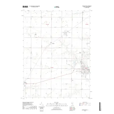
 2021 Carthage West2021 Print · USGSCovers Elvaston, including Carthage, Ferris, and other nearby areas
 - 2024 Map of Carthage West, 2024 Print
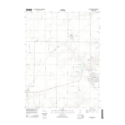
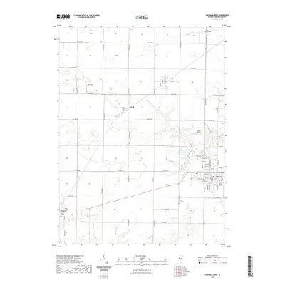
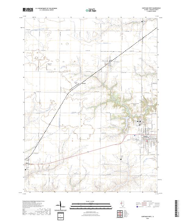 2024 Carthage West2024 Print · USGSHancock County, Illinois, remains a landscape of deep-rooted farmsteads and historic county seat life in this contemporary survey. Local historians and genealogists can pinpoint specific burial sites and civic landmarks like the Hancock County Courthouse, Old Carthage Cem, and Elvaston City Cem.
 - 2024 Map of Hamilton, 2024 Print
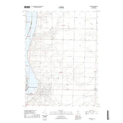
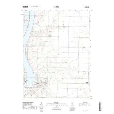
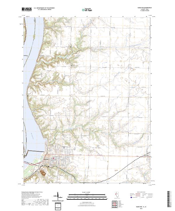 2024 Hamilton2024 Print · USGSThe riverfront at Hamilton and the inland plains of Hancock County are mapped here in the modern era. Genealogists can locate several family and community burial sites like Stearns Cem, Oakwood Cem, and Riverside Cem.
End of results
Showing maps 1-21 of 21
Top cities near Elvaston
- Fort Madison historical maps
- Keokuk historical maps
- Hamilton historical maps
- Carthage historical maps
- Warsaw historical maps
- Nauvoo historical maps
See more
Frequently asked questions
- What are the different types of historical maps available for Elvaston?
- What is the oldest map of Elvaston?
- Where can I purchase historical maps of Elvaston for my home or office?
- Where can I download high-res historical maps of Elvaston?
- Are there historical topographic maps available for Elvaston?
- Is there historical aerial imagery available for Elvaston?
- Where are historical maps of Elvaston sourced from?