Old Maps of Lone Tree, Illinois for Metal Detecting
Plan your next treasure hunt with 13 historic maps of Lone Tree. Find old homesites, ghost towns, trails, and gathering spots that may be lost to time — perfect for identifying promising metal detecting locations.
- Locate forgotten sites: Uncover places like long-lost settlements, abandoned rail lines, or gathering spots.
- Plan better hunts: Use map overlays combined with LiDAR or satellite views to narrow in on historically rich areas.
- Made for detectorists: Thousands of hobbyists use these maps to discover relics, coins, and hidden history.
Use these historic maps to boost your research and find new opportunities beneath the surface of Lone Tree.
Lone Tree, IL maps
(13)- 1934 Map of Burlington
 1934 Burlington1934 Print · USGSThe river bottomlands of Illinois and Iowa come alive in the mid-1930s, showing a landscape defined by the shifting currents and rail lines. Genealogists and historians can trace small rural communities and local education centers like Orchard City, Carthage Junc, and Crystal Lake Sch.2 unique versions available
 - 1940 Map of Burlington
 1940 Burlington1940 Print · USGSThe Mississippi River floodplain comes alive in the mid-1930s, showing the intricate network of sloughs and rail lines between Illinois and Iowa. Genealogists and historians can locate rural landmarks like Merry Dell Sch, trace the Chicago Burlington and Quincy tracks, or explore the riverfront at Gulfport.3 unique versions available
 - 1958 Map of Burlington, 1968 Print
 1958 Burlington1968 Print · USGSThe tri-state river country of Iowa, Illinois, and Missouri is captured here in the mid-fifties, dominated by the Mississippi River and major rail lines. Genealogists and historians can trace the development of river towns like Keokuk or locate the sprawling Iowa Army Ammunition Plant.4 unique versions available
 - 1961 Map of Burlington
 1961 Burlington1961 Print · USGSThe tri-state borderlands along the Mississippi River are captured here during the late fifties and early sixties, showing the vital river-and-rail economy of Iowa, Illinois, and Missouri. Genealogists and historians can trace the development of major hubs like Galesburg and Macomb alongside landmark sites such as the Iowa Ordnance Plant and the historic river town of Nauvoo.
 - 1963 Map of Burlington
 1963 Burlington1963 Print · USGSThe tri-state river country of the Mississippi and Illinois valleys comes alive in this mid-century survey. Genealogists and historians can trace the industrial and academic growth of the region, from the Iowa Ordnance Plant to campuses like Knox College and Western Illinois University.
 - 1964 Map of Burlington, 1965 Print
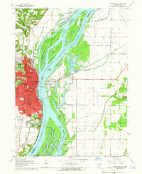 1964 Burlington1965 Print · USGSMid-century Burlington and the Mississippi riverfront are captured here as the city expanded westward toward the Burlington Municipal Airport. Genealogists can locate family landmarks like Sacred Heart Cemetery, St Johns School, and the scattered homes of Heapsville.3 unique versions available
 - 1985 Map of Burlington
 1985 Burlington1985 Print · USGSThe Tri-State region during the mid-eighties shows a landscape shaped by the Mississippi River and a dense network of railroads. Genealogists and local historians can trace family sites near Aspen Grove Cem or locate community landmarks in Burlington, Fort Madison, and Mount Pleasant.2 unique versions available
 - 1990 Map of Burlington
 1990 Burlington1990 Print · USGSThe tri-state confluence of Iowa, Illinois, and Missouri is mapped here at the end of the twentieth century. Genealogists and historians can trace the riverfront heritage of Burlington, Keokuk, and Fort Madison, or locate sites like the Battle of Athens State Historic Site.2 unique versions available
 - 2010 Map of Burlington, 2010 Print
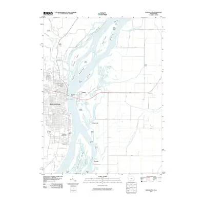 2010 Burlington2010 Print · USGSThe Mississippi River valley at Burlington appears in high detail during the early twenty-first century, showcasing the city's bluff-top development and the Illinois floodplains. Researchers can trace ancestral sites at Aspen Grove Cemetery or locate the small rail-and-road junctions of Gulfport and Carthage Junction.
 - 2013 Map of Burlington, 2013 Print
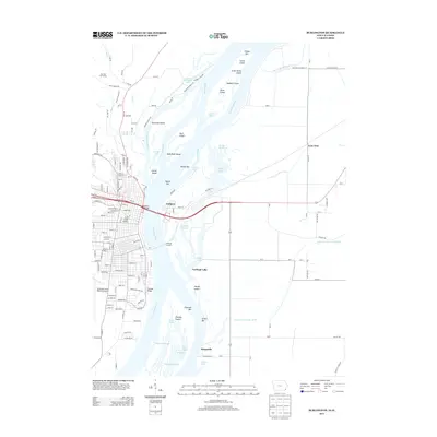 2013 Burlington2013 Print · USGSThe Mississippi River corridor between Iowa and Illinois is captured here at a time of modern infrastructure and traditional river geography. Researchers can trace the river's path through complex islands like Otter Island or locate riverside communities such as Gulfport and Heapsville.
 - 2015 Map of Burlington, 2015 Print
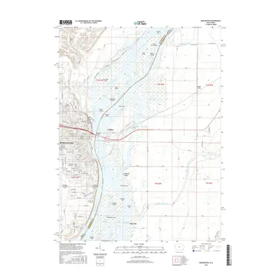 2015 Burlington2015 Print · USGSThe riverfront of Burlington and the Illinois bottomlands are captured in detail during the mid-2010s. Researchers can trace family history at Aspen Grove Cem or locate rural landmarks like Lone Tree and the Prugh Farm Plot.
 - 2018 Map of Burlington, 2018 Print
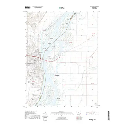 2018 Burlington2018 Print · USGSAcross the Mississippi River from Burlington, the river-and-rail hub connects Iowa and Illinois during a period of modern infrastructure growth. Researchers can trace family history through city cemeteries like Aspen Grove Cem or locate smaller rural sites such as the Meyers Family Plot and Heapsville.
 - 2022 Map of Burlington, 2022 Print
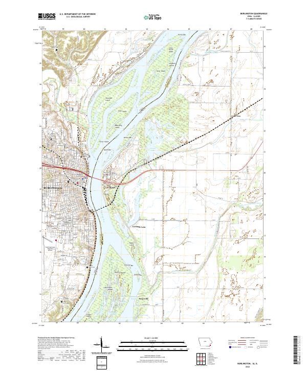 2022 Burlington2022 Print · USGSBurlington and the Mississippi River islands are captured in this modern survey of the Iowa-Illinois border. Genealogists can locate family burial sites at the Meyers Family Plot and Aspen Grove Cem, or trace the winding O'Connell Slough.
End of results
Showing maps 1-13 of 13
Top cities near Lone Tree
- Burlington historical maps
- West Burlington historical maps
- Mediapolis historical maps
- Oquawka historical maps
- Dallas City historical maps
- Beaverdale historical maps
See more
Frequently asked questions
- What are the different types of historical maps available for Lone Tree?
- What is the oldest map of Lone Tree?
- Where can I purchase historical maps of Lone Tree for my home or office?
- Where can I download high-res historical maps of Lone Tree?
- Are there historical topographic maps available for Lone Tree?
- Is there historical aerial imagery available for Lone Tree?
- Where are historical maps of Lone Tree sourced from?