Old Maps of Bishop Hill, Illinois for Academic Research
Study the evolution of Bishop Hill with 15 high-resolution historic maps. Whether you're teaching, researching, or modeling changes in land use, these maps provide essential visual documentation of urban, environmental, and geographic change.
- Analyze long-term change: Track patterns in development, transportation, and natural features.
- Ideal for environmental or urban studies: Support academic projects with primary historical map data.
- Use in the classroom or lab: Educators and researchers rely on these maps to bring historical context to life.
These maps are a powerful tool for teaching, research, and visualizing how Bishop Hill has changed over the decades.
Bishop Hill, IL maps
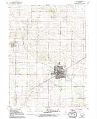
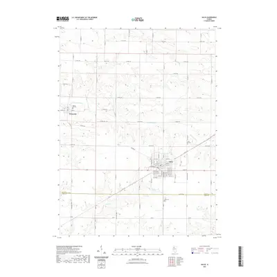
(15)- 1931 Map of Galva
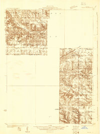 1931 Galva1931 Print · USGSThe Henry and Knox County borderlands are mapped here in the early 1930s, showing a thriving network of rural townships and rail corridors. Researchers can locate dozens of country schools and churches, from Swamp College Sch to the North Ontario Ch and the Galva Cem.
 - 1940 Map of Galva, 1957 Print
 1940 Galva1957 Print · USGSHenry and Knox counties are captured here as a bustling railroad landscape in the early 1940s. Genealogists can trace the rural school and church networks of the era, from the uniquely named Swamp College Sch to the settlement at Bishop Hill.2 unique versions available
 - 1944 Map of Galva
 1944 Galva1944 Print · USGSNorthwestern Illinois farmland is captured in the 1940s as a thriving network of rail towns and country schools. Genealogists can locate family landmarks like Piatt Cem or trace the early layout of historic Bishop Hill and Galva.2 unique versions available
 - 1953 Map of Galva, 1957 Print
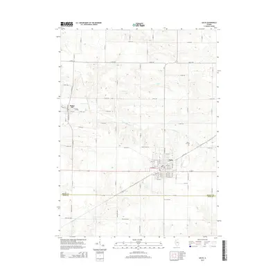
 1953 Galva1957 Print · USGSWestern Illinois farm country and bustling rail corridors come to life in this mid-century survey of Henry County. Genealogists and local historians can locate St Johns Cemetery, the historic colony at Bishop Hill, and rural landmarks like Deem School.2 unique versions available
 - 1958 Map of Davenport, 1968 Print
 1958 Davenport1968 Print · USGSEastern Iowa and western Illinois thrive along the river during the late fifties, defined by the industrial Quad Cities and a robust rail network. Genealogists can trace family roots through settlements like Oasis and Stanwood or along the Cedar River.2 unique versions available
 - 1961 Map of Davenport
 1961 Davenport1961 Print · USGSThe Quad Cities and the eastern Iowa riverlands are captured here in the early sixties, showing the region's transition into a modern industrial and transit hub. Genealogists and historians can trace the paths of major railroads and find river landmarks like Rock Island Arsenal, Huron Island, and the Coralville Reservoir.
 - 1962 Map of Davenport
 1962 Davenport1962 Print · USGSThe Quad Cities and the Mississippi River corridor are shown at their industrial peak just before the interstate era fully transformed the region. Researchers can trace the sprawling rail networks of the Chicago Rock Island and Pacific and find landmarks like the Rock Island Arsenal and Wild Cat Den State Park.
 - 1984 Map of Aledo, 1985 Print
 1984 Aledo1985 Print · USGSThe Mississippi River borderlands and Illinois heartland are captured here in the mid-eighties as industry and agriculture overlap. Trace the Hennepin Canal, the historic Swedish colony at Bishop Hill, and the rail corridors of the Burlington Northern.
 - 1989 Map of Aledo
 1989 Aledo1989 Print · USGSWestern Illinois and eastern Iowa are shown here during the late twentieth century, when the river-and-rail economy still defined the Quad Cities and the surrounding prairie. Researchers can trace historic settlements like Bishop Hill and Millersburg alongside active routes like the Chicago Rock Island & Pacific RR.
 - 1991 Map of Galva, 1992 Print
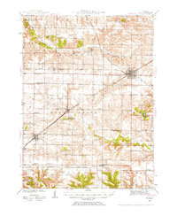
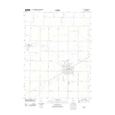
 1991 Galva1992 Print · USGSThe communal settlement of Bishop Hill and the bustling rail-era city of Galva are documented here in the early 1990s. Trace local history through landmarks like the Museum, St Johns Cem, and the Old Railroad Grade crossing the prairie.
 - 2012 Map of Galva, 2012 Print
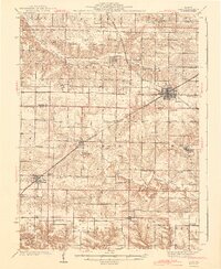
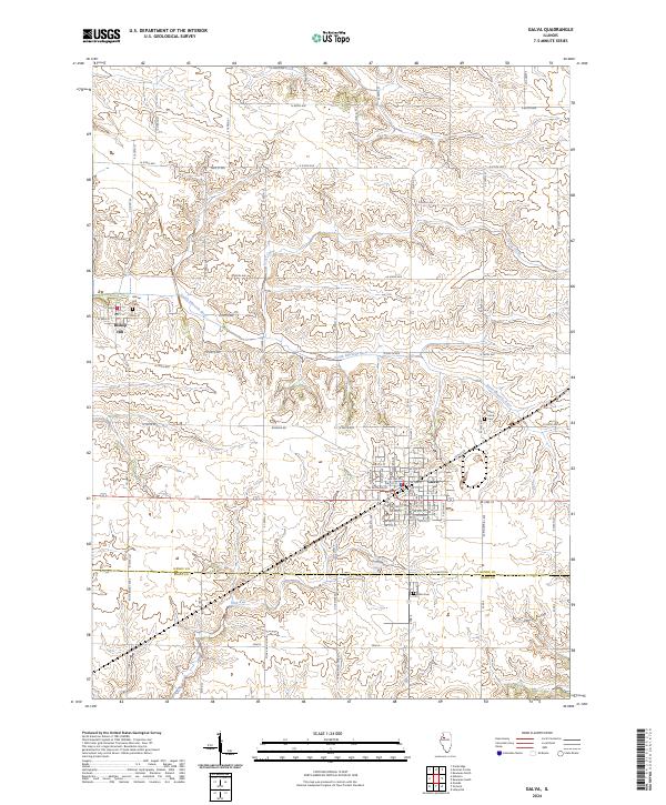
 2012 Galva2012 Print · USGSCovers Bishop Hill, including Galva, Henry County, and other nearby areas
 - 2015 Map of Galva, 2015 Print
 2015 Galva2015 Print · USGSCovers Bishop Hill, including Galva, Henry County, and other nearby areas
 - 2018 Map of Galva, 2018 Print
 2018 Galva2018 Print · USGSCovers Bishop Hill, including Galva, Henry County, and other nearby areas
 - 2021 Map of Galva, 2021 Print
 2021 Galva2021 Print · USGSCovers Bishop Hill, including Galva, Henry County, and other nearby areas
 - 2024 Map of Galva, 2024 Print
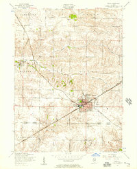
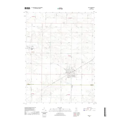
 2024 Galva2024 Print · USGSThe community of Galva and the historic Bishop Hill colony appear in this recent Illinois survey. Researchers can trace the courses of the South Edwards River and Goose Creek, or locate local landmarks like Saint Johns Cemetery and Trolly Road.
End of results
Showing maps 1-15 of 15
Top cities near Bishop Hill
- Galesburg historical maps
- Kewanee historical maps
- Galva historical maps
- Cambridge historical maps
- Ontario historical maps
- Atkinson historical maps
See more
Frequently asked questions
- What are the different types of historical maps available for Bishop Hill?
- What is the oldest map of Bishop Hill?
- Where can I purchase historical maps of Bishop Hill for my home or office?
- Where can I download high-res historical maps of Bishop Hill?
- Are there historical topographic maps available for Bishop Hill?
- Is there historical aerial imagery available for Bishop Hill?
- Where are historical maps of Bishop Hill sourced from?