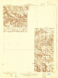
1931 Map of Galva
USGS Topo · Published 1931About this map
Galva serves as a central hub on this 1930s survey, showing a landscape defined by an extensive network of one-room schoolhouses and rural religious centers. The distribution of educational landmarks like Swamp College Sch, Maple Ridge Sch, and Snow Hill Sch highlights the high density of small farming communities in Henry and Knox counties. This era reveals a transition in transportation, where established rail lines like the Chicago Burlington and Quincy run parallel to early motor routes such as U S Highway No 34.
Find a feature on this map
46 named features on this map. Tap any name to fly to it.
Don’t see what you’re looking for? This feature index may not catch every label — zoom into the map to look around manually.
Map Details
Editions of this 1931 Galva Map
This is the sole edition of this map. No revisions or reprints were ever made.
Other maps of this area
1925 · Galesburg
USGS Topo · 1:62,500
1927 · Galesburg
USGS Topo · 1:62,500
1929 · Annawan
USGS Topo · 1:62,500
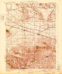
1932 · Annawan
USGS Topo · 1:62,500
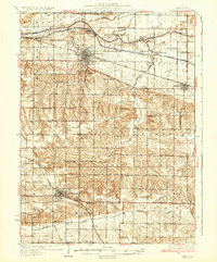
1934 · Geneseo
USGS Topo · 1:62,500
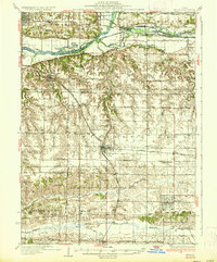
1937 · Orion
USGS Topo · 1:62,500
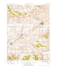
1940 · Galva
USGS Topo · 1:62,500
1941 · Maquon
USGS Topo · 1:62,500
1943 · Maquon
USGS Topo · 1:62,500
1944 · Galva
USGS Topo · 1:62,500