Old Maps of Hallock, Illinois for Genealogy
Trace your family roots with 14 historic maps of Hallock. These high-res maps reveal old neighborhoods, homesites, landmarks, and streets — helping you uncover where your ancestors lived and how the area evolved over time.
- Explore historic neighborhoods: Identify where your relatives may have lived in the 1800s or 1900s.
- Compare maps over time: Trace the changes in streets, buildings, and landmarks for multi-generational research.
- Perfect for genealogy & ancestry research: Used by family historians and researchers to map out lineage and migration.
These maps are an incredible resource for exploring your personal connection to Hallock's past.
Hallock, IL maps
(14)- 1938 Map of Milford
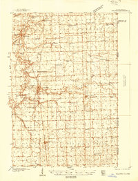 1938 Milford1938 Print · USGSIroquois County at the end of the Depression era is a landscape of thriving rail towns and numerous one-room schoolhouses. Researchers can locate nearly thirty distinct rural schools like White College Sch and Fidelity Sch, along with family burial grounds such as Belmont Cem.
 - 1944 Map of Milford
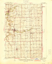 1944 Milford1944 Print · USGSIroquois County at the close of the second World War is a landscape defined by rail junctions and rural schoolhouses. Genealogists can trace family roots through numerous sites like Sugar Creek Chapel, Belmont Cem, and early schools including White College Sch.2 unique versions available
 - 1953 Map of Danville, 1965 Print
 1953 Danville1965 Print · USGSIndiana and Illinois crossroads come to life in this mid-century survey as the interstate era begins to reshape the river-and-rail landscape. Genealogists and collectors can trace the historic paths of the Nickel Plate railroad or locate smaller communities like Veedersburg, Goodland, and Bismarck.3 unique versions available
 - 1955 Map of Danville
 1955 Danville1955 Print · USGSThe Indiana-Illinois borderlands during the mid-fifties reveal a landscape of thriving rail hubs and university towns. Researchers can trace the legacy of Purdue University, the Tippecanoe Battlefield, and the path of the Pennsylvania RR.
 - 1956 Map of Danville
 1956 Danville1956 Print · USGSMid-century Indiana and Illinois are captured here as the river-and-rail economy evolved into the modern highway era. Researchers can trace ancestral roots and old transport lines through Logansport, Battle Ground, and the dams at Lake Shafer.
 - 1964 Map of Stockland, 1965 Print
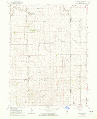 1964 Stockland1965 Print · USGSIroquois County farm country meets the Indiana border in the early sixties, centered on the railroad corridor and drainage networks. Researchers can locate the Totheroh Cem, the Prairie Green Sch, and small centers like Stockland and Hallock.
 - 1984 Map of Watseka, 1985 Print
 1984 Watseka1985 Print · USGSThe Illinois-Indiana borderlands thrived on a dense rail and river network during the mid-eighties. Genealogists and local historians can trace the foundations of rural life through landmarks like St Josephs College, the Iroquois Hospital, and towns like Milford and Beaverville.
 - 1990 Map of Watseka, 1991 Print
 1990 Watseka1991 Print · USGSThe Illinois and Indiana borderlands are captured here in the early nineties, showing a landscape defined by prairie drainage and rail lines. You can trace family roots through settlements like L'Erable and Raub or locate landmarks such as Saint Josephs College.
 - 2011 Map of Stockland, 2011 Print
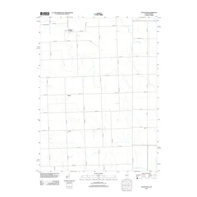
 2011 Stockland2011 Print · USGSCovers Hallock, including Stockland, Greer, and other nearby areas
 - 2012 Map of Stockland, 2012 Print
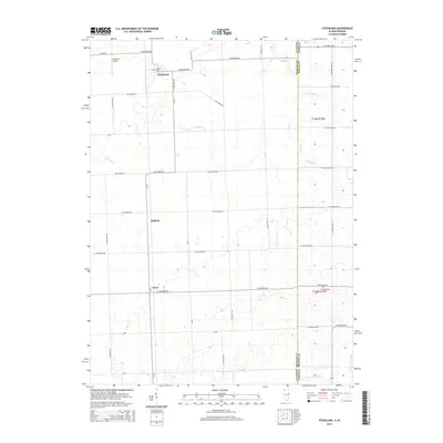
 2012 Stockland2012 Print · USGSCovers Hallock, including Stockland, Greer, and other nearby areas
 - 2015 Map of Stockland, 2015 Print
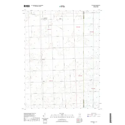
 2015 Stockland2015 Print · USGSCovers Hallock, including Stockland, Greer, and other nearby areas
 - 2018 Map of Stockland, 2018 Print
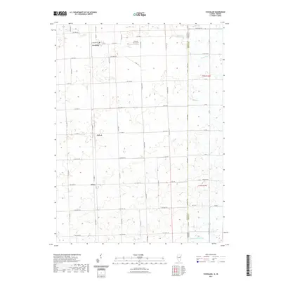
 2018 Stockland2018 Print · USGSCovers Hallock, including Stockland, Greer, and other nearby areas
 - 2021 Map of Stockland, 2021 Print
 2021 Stockland2021 Print · USGSCovers Hallock, including Stockland, Greer, and other nearby areas
 - 2024 Map of Stockland, 2024 Print
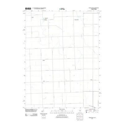
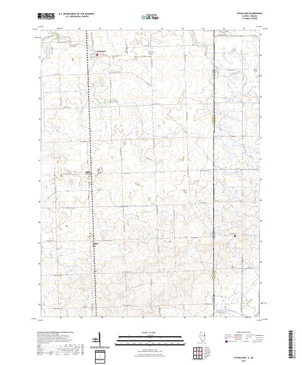 2024 Stockland2024 Print · USGSThe Illinois-Indiana borderlands come into focus in this recent survey of Iroquois County farmland. Researchers can trace rural lineages through local landmarks like Totheroh Cem and the small settlements of Stockland, Hallock, and Greer.
End of results
Showing maps 1-14 of 14
Top cities near Hallock
- Hoopeston historical maps
- Watseka historical maps
- Kentland historical maps
- Milford historical maps
- Rossville historical maps
- Sheldon historical maps
See more
Frequently asked questions
- What are the different types of historical maps available for Hallock?
- What is the oldest map of Hallock?
- Where can I purchase historical maps of Hallock for my home or office?
- Where can I download high-res historical maps of Hallock?
- Are there historical topographic maps available for Hallock?
- Is there historical aerial imagery available for Hallock?
- Where are historical maps of Hallock sourced from?