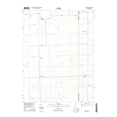
2015 Map of Stockland
USGS Topo · Published 2015About this map
Stockland sits near the northern edge of this Illinois landscape, marking a cluster of development where the grid of rural roads converges. The territory stretches across the state line into Indiana, defined by an extensive network of agricultural drainage systems such as Kult Ditch, Mud Cr, and Finigan Ditch. These waterways manage the drainage into the N Fork Vermilion River in the southeast corner. Small crossroads like Hallock and Greer suggest the historical settlement patterns of Iroquois County, where localized community centers served the surrounding farmstead population. A small airfield, Wichman Airport, and the isolated Totheroh Cem provide specific points of interest for local historians and genealogists researching the families of this prairie region. The map reveals the precise transition from the Illinois county roads to the Indiana border, where the survey system shifts slightly as it enters Benton County.
Find a feature on this map
57 named features on this map. Tap any name to fly to it.
Don’t see what you’re looking for? This feature index may not catch every label — zoom into the map to look around manually.
Map Details
Editions of this 2015 Stockland Map
This is the sole edition of this map. No revisions or reprints were ever made.
Other maps of this area

1933 · Hoopeston
USGS Topo · 1:48,000

1938 · Milford
USGS Topo · 1:48,000

1938 · Hoopeston
USGS Topo · 1:62,500

1944 · Milford
USGS Topo · 1:62,500

1953 · Danville
USGS Topo · 1:250,000

1955 · Danville
USGS Topo · 1:250,000

1956 · Danville
USGS Topo · 1:250,000

1961 · Tab
USGS Topo · 1:24,000

1962 · Boswell
USGS Topo · 1:24,000

1962 · Earl Park
USGS Topo · 1:24,000