
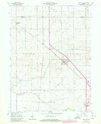
1962 Map of Earl Park
USGS Topo · Published 1964About this map
Earl Park sits as a primary rail hub in the early 1960s, defined by the crossing of the New York Central railroad through the flat agricultural lands of Benton Co. The landscape is etched by a series of drainage improvements including Kent Ditch and Talley Ditch, which channel water into Sugar Creek and Mud Creek. This network of waterways and the rectilinear road system emphasize the area's intensive development for farming during this era.
Find a feature on this map
26 named features on this map. Tap any name to fly to it.
Don’t see what you’re looking for? This feature index may not catch every label — zoom into the map to look around manually.
Map Details
Editions of this 1962 Earl Park Map
2 editions found
Other maps of this area

1935 · Watseka
USGS Topo · 1:48,000

1938 · Milford
USGS Topo · 1:48,000

1939 · Watseka
USGS Topo · 1:62,500

1944 · Milford
USGS Topo · 1:62,500

1953 · Danville
USGS Topo · 1:250,000

1955 · Danville
USGS Topo · 1:250,000

1956 · Danville
USGS Topo · 1:250,000

1961 · Kentland
USGS Topo · 1:24,000

1962 · Wadena
USGS Topo · 1:24,000

1962 · Boswell
USGS Topo · 1:24,000