2000s (21st Century) Maps of Onarga, Illinois
Explore 10 historic maps of Onarga from the 2000s (21st Century). These maps offer a rare glimpse into what life looked like during the 2000s — showing old roads, neighborhoods, homes, and landmarks that have changed or disappeared over time.
Whether you're researching your family's past, planning a metal detecting trip, or studying how Onarga's landscape evolved across the 2000s, these high-resolution maps are a powerful tool for exploring the history of this region.
- Focus on a specific era: All maps on this page are from the 2000s, giving you a focused view of this time period.
- See what’s changed: Compare century-old streets, trails, and buildings to today's modern landscape using overlays and satellite layers.
- Research with precision: Use these maps for genealogy, historical research, land use analysis, or educational projects.
- View, download, or print: Maps are fully viewable online in high resolution, and can be downloaded or printed for your own records.
Start exploring Onarga's history through authentic maps from the 2000s. This is your window into the past.
Onarga, IL maps
(10)- 2012 Map of Onarga East, 2012 Print
 2012 Onarga East2012 Print · USGSCovers Onarga, including Gilman, Iroquois County, and other nearby areas
 - 2012 Map of Onarga West, 2012 Print
 2012 Onarga West2012 Print · USGSCovers Onarga, including Gilman, Thawville, and other nearby areas
 - 2015 Map of Onarga East, 2015 Print
 2015 Onarga East2015 Print · USGSCovers Onarga, including Gilman, Iroquois County, and other nearby areas
 - 2015 Map of Onarga West, 2015 Print
 2015 Onarga West2015 Print · USGSCovers Onarga, including Gilman, Thawville, and other nearby areas
 - 2018 Map of Onarga East, 2018 Print
 2018 Onarga East2018 Print · USGSCovers Onarga, including Gilman, Iroquois County, and other nearby areas
 - 2018 Map of Onarga West, 2018 Print
 2018 Onarga West2018 Print · USGSCovers Onarga, including Gilman, Thawville, and other nearby areas
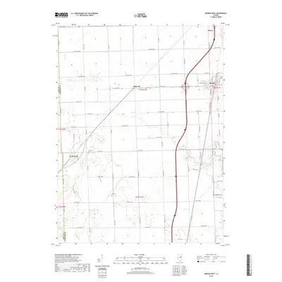
 - 2021 Map of Onarga West, 2021 Print
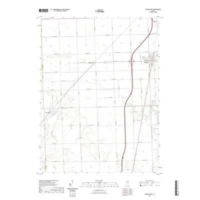 2021 Onarga West2021 Print · USGSCovers Onarga, including Gilman, Thawville, and other nearby areas
 - 2021 Map of Onarga East, 2021 Print
 2021 Onarga East2021 Print · USGSCovers Onarga, including Gilman, Iroquois County, and other nearby areas
 - 2024 Map of Onarga East, 2024 Print
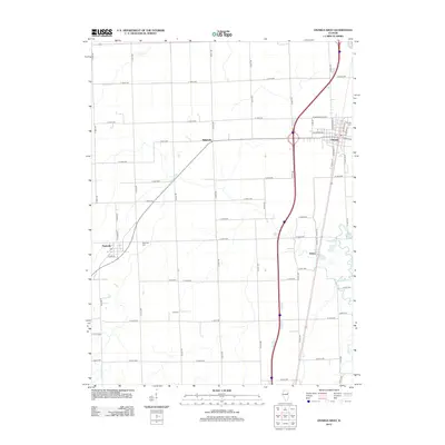
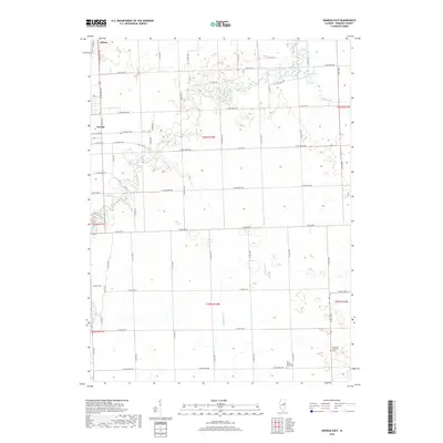
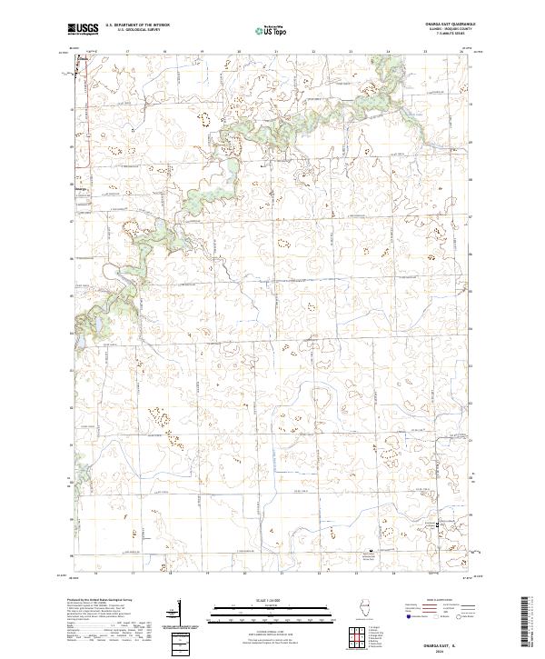 2024 Onarga East2024 Print · USGSIroquois County farmland in the modern era is captured here, showing the rural grid south of the Illinois Central Gulf corridor. Genealogists can trace family roots at Saint Johns Lutheran Ash Grove Cem or follow the waters of Spring Creek and Kam Lake.
 - 2024 Map of Onarga West, 2024 Print
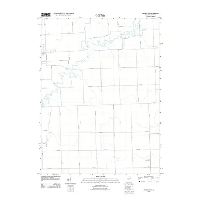
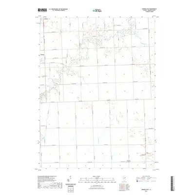
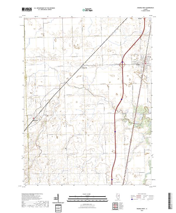 2024 Onarga West2024 Print · USGSIroquois County farm country is mapped in detail here, showing the modern layout of eastern Illinois agriculture. Researchers can locate family sites near Onarga Cem and Lisk Cem or trace the rural routes connecting Thawville and Ridgeville.
End of results
Showing maps 1-10 of 10
Top cities near Onarga
- Gilman historical maps
- Clifton historical maps
- Cissna Park historical maps
- Piper City historical maps
- Ashkum historical maps
- Crescent City historical maps
See more
Frequently asked questions
- What are the different types of historical maps available for Onarga?
- What is the oldest map of Onarga?
- Where can I purchase historical maps of Onarga for my home or office?
- Where can I download high-res historical maps of Onarga?
- Are there historical topographic maps available for Onarga?
- Is there historical aerial imagery available for Onarga?
- Where are historical maps of Onarga sourced from?