Old Maps of Onarga, Illinois for Metal Detecting
Plan your next treasure hunt with 26 historic maps of Onarga. Find old homesites, ghost towns, trails, and gathering spots that may be lost to time — perfect for identifying promising metal detecting locations.
- Locate forgotten sites: Uncover places like long-lost settlements, abandoned rail lines, or gathering spots.
- Plan better hunts: Use map overlays combined with LiDAR or satellite views to narrow in on historically rich areas.
- Made for detectorists: Thousands of hobbyists use these maps to discover relics, coins, and hidden history.
Use these historic maps to boost your research and find new opportunities beneath the surface of Onarga.
Onarga, IL maps
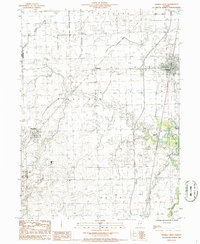
(26)- 1939 Map of Cissna Park, 1940 Print
 1939 Cissna Park1940 Print · USGSIroquois County at the end of the 1930s reveals a vast network of one-room schools and prairie rail stops. Genealogists can trace family footprints across dozens of rural landmarks, from Possum Trot Sch and Prairie Queen Sch to the quiet grounds of ASH GROVE CEM.
 - 1948 Map of Buckley
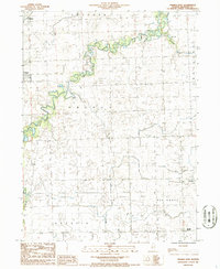
 1948 Buckley1948 Print · USGSThe Illinois prairie of the late 1940s reveals a rural landscape still revolving around the village schoolhouse and the Illinois Central rail line. Trace family roots and vanished landmarks across Piper City, Thawville, and dozens of rural schools like Shute Sch or Zahn Sch.
 - 1949 Map of Cissna Park
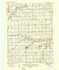 1949 Cissna Park1949 Print · USGSIroquois County's agricultural heartland is documented here in the years following World War II, showing a landscape defined by small farms and rail-stop villages. Researchers can locate dozens of localized landmarks, from Amity Cem to uniquely named rural schools like Possum Trot Sch and Pond Lily Sch.3 unique versions available
 - 1949 Map of Buckley
 1949 Buckley1949 Print · USGSEast-central Illinois farm country thrived alongside the Illinois Central railroad just after the war, when small towns and family farms defined the prairie. Researchers can locate dozens of country schoolhouses like Willow Grove Sch and Larkin Sch, or trace the path of the North Fork Vermilion River near Thawville.2 unique versions available
 - 1953 Map of Danville, 1965 Print
 1953 Danville1965 Print · USGSIndiana and Illinois crossroads come to life in this mid-century survey as the interstate era begins to reshape the river-and-rail landscape. Genealogists and collectors can trace the historic paths of the Nickel Plate railroad or locate smaller communities like Veedersburg, Goodland, and Bismarck.3 unique versions available
 - 1955 Map of Danville
 1955 Danville1955 Print · USGSThe Indiana-Illinois borderlands during the mid-fifties reveal a landscape of thriving rail hubs and university towns. Researchers can trace the legacy of Purdue University, the Tippecanoe Battlefield, and the path of the Pennsylvania RR.
 - 1956 Map of Danville
 1956 Danville1956 Print · USGSMid-century Indiana and Illinois are captured here as the river-and-rail economy evolved into the modern highway era. Researchers can trace ancestral roots and old transport lines through Logansport, Battle Ground, and the dams at Lake Shafer.
 - 1958 Map of Peoria, 1969 Print
 1958 Peoria1969 Print · USGSCentral Illinois thrived as a hub of education and transport during the late sixties, as the new interstate system began to reshape the prairie. Genealogists and historians can trace local landmarks like Springdale Cem, Bradley University, and the sprawling grounds of Chanute AFB.4 unique versions available
 - 1961 Map of Peoria
 1961 Peoria1961 Print · USGSCentral Illinois thrived at the intersection of river trade and rail power during the late fifties. Genealogists and local historians can trace the rail networks of the Illinois Central and Wabash, alongside landmarks like Chanute AFB and Weldon Springs State Park.
 - 1963 Map of Peoria
 1963 Peoria1963 Print · USGSCentral Illinois thrived as a rail and highway crossroads during the early sixties, centered on the bustling Illinois River valley. Genealogists and historians can trace the mid-century layout of Peoria, locate the grounds of Chanute Air Force Base, and follow historic lines like the Toledo Peoria and Western Railway.
 - 1984 Map of Watseka, 1985 Print
 1984 Watseka1985 Print · USGSThe Illinois-Indiana borderlands thrived on a dense rail and river network during the mid-eighties. Genealogists and local historians can trace the foundations of rural life through landmarks like St Josephs College, the Iroquois Hospital, and towns like Milford and Beaverville.
 - 1985 Map of Fairbury
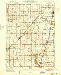
 1985 Fairbury1985 Print · USGSCentral Illinois in the mid-1980s reveals a landscape shaped by the Illinois Central Gulf rail network and the Vermilion River basin. Trace the roots of local communities from Fairbury to Pontiac, and locate landmarks like the State Correctional Center and High Chapel.2 unique versions available
 - 1986 Map of Onarga West
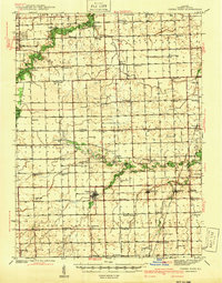
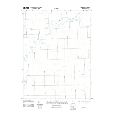
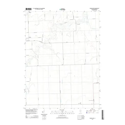
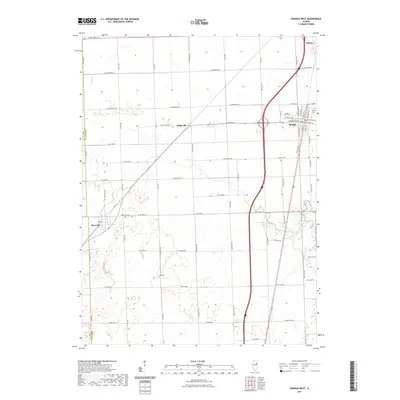
 1986 Onarga West1986 Print · USGSIroquois County farmland is captured here in the mid-1980s, showcasing the rural township grids and rail corridors of east-central Illinois. Genealogists and local historians can trace the paths of the Illinois Central Gulf through Delrey or locate rural landmarks like the Cem near Ridgeville.
 - 1986 Map of Onarga East
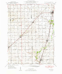
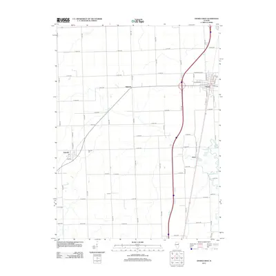
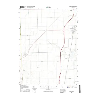
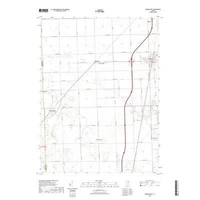
 1986 Onarga East1986 Print · USGSIroquois County farmland in the mid-1980s reveals a quiet landscape of rural townships and winding waterways. Researchers can trace the layout of early communities like Gilman and Onarga, or find family history landmarks such as Idaville Corner and the local Cem.
 - 1990 Map of Peoria
 1990 Peoria1990 Print · USGSCentral Illinois at the start of the nineties reveals a landscape of industrial river towns and sprawling university campuses. Researchers can trace the legacy of major institutions like Chanute Air Force Base and the University of Illinois alongside regional landmarks such as Sand Ridge State Forest.
 - 1990 Map of Watseka, 1991 Print
 1990 Watseka1991 Print · USGSThe Illinois and Indiana borderlands are captured here in the early nineties, showing a landscape defined by prairie drainage and rail lines. You can trace family roots through settlements like L'Erable and Raub or locate landmarks such as Saint Josephs College.
 - 2012 Map of Onarga East, 2012 Print
 2012 Onarga East2012 Print · USGSCovers Onarga, including Gilman, Iroquois County, and other nearby areas
 - 2012 Map of Onarga West, 2012 Print
 2012 Onarga West2012 Print · USGSCovers Onarga, including Gilman, Thawville, and other nearby areas
 - 2015 Map of Onarga East, 2015 Print
 2015 Onarga East2015 Print · USGSCovers Onarga, including Gilman, Iroquois County, and other nearby areas
 - 2015 Map of Onarga West, 2015 Print
 2015 Onarga West2015 Print · USGSCovers Onarga, including Gilman, Thawville, and other nearby areas
 - 2018 Map of Onarga East, 2018 Print
 2018 Onarga East2018 Print · USGSCovers Onarga, including Gilman, Iroquois County, and other nearby areas
 - 2018 Map of Onarga West, 2018 Print
 2018 Onarga West2018 Print · USGSCovers Onarga, including Gilman, Thawville, and other nearby areas
 - 2021 Map of Onarga West, 2021 Print
 2021 Onarga West2021 Print · USGSCovers Onarga, including Gilman, Thawville, and other nearby areas
 - 2021 Map of Onarga East, 2021 Print
 2021 Onarga East2021 Print · USGSCovers Onarga, including Gilman, Iroquois County, and other nearby areas
 - 2024 Map of Onarga East, 2024 Print
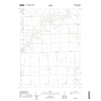
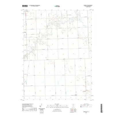
 2024 Onarga East2024 Print · USGSIroquois County farmland in the modern era is captured here, showing the rural grid south of the Illinois Central Gulf corridor. Genealogists can trace family roots at Saint Johns Lutheran Ash Grove Cem or follow the waters of Spring Creek and Kam Lake.
Showing maps 1-25 of 26
Top cities near Onarga
- Gilman historical maps
- Clifton historical maps
- Cissna Park historical maps
- Piper City historical maps
- Ashkum historical maps
- Crescent City historical maps
See more
Frequently asked questions
- What are the different types of historical maps available for Onarga?
- What is the oldest map of Onarga?
- Where can I purchase historical maps of Onarga for my home or office?
- Where can I download high-res historical maps of Onarga?
- Are there historical topographic maps available for Onarga?
- Is there historical aerial imagery available for Onarga?
- Where are historical maps of Onarga sourced from?