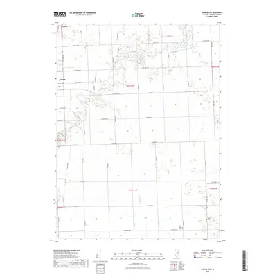
2018 Map of Onarga East
USGS Topo · Published 2018About this map
Gilman and Onarga anchor the northwest corner of this Iroquois County landscape, where the flat agricultural terrain is defined by a dense grid of township and county roads. The drainage of the area is primarily influenced by the meandering courses of Spring Creek and Shavetail Cr, which create wetland pockets across the rural sections. For genealogists, the map preserves the locations of vital community landmarks such as Saint John's Ash Grove Cem and the Immanuel Lutheran Cem, both situated in the southeastern reaches. These cemetery sites and water bodies like Kan Lake provide fixed points of reference for families tracing their history in the townships of the T25N and T26N ranges. The map illustrates the 21st-century transition between these small prairie towns and the expansive farmland that defines this region of Illinois.
Find a feature on this map
57 named features on this map. Tap any name to fly to it.
Don’t see what you’re looking for? This feature index may not catch every label — zoom into the map to look around manually.
Map Details
Editions of this 2018 Onarga East Map
This is the sole edition of this map. No revisions or reprints were ever made.
Other maps of this area
1939 · Cissna Park
USGS Topo · 1:62,500
1944 · Piper City
USGS Topo · 1:48,000
1944 · Gilman
USGS Topo · 1:62,500
1946 · Gilman
USGS Topo · 1:62,500
1947 · Piper City
USGS Topo · 1:62,500
1948 · Buckley
USGS Topo · 1:62,500
1949 · Cissna Park
USGS Topo · 1:62,500
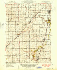
1949 · Buckley
USGS Topo · 1:62,500
1953 · Danville
USGS Topo · 1:250,000
1955 · Danville
USGS Topo · 1:250,000