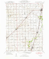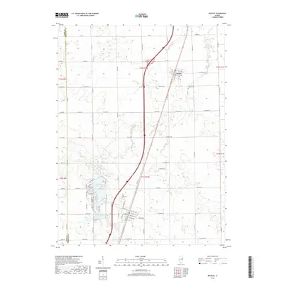
1949 Map of Buckley
USGS Topo · Published 1949About this map
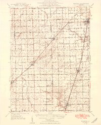
The Illinois Central railroad anchors the agricultural landscape of Ford and Iroquois counties in the late 1940s, connecting a chain of rail towns including Buckley, Loda, and Onarga. This period reveals a densely settled rural society where one-room schoolhouses are still the primary civic landmarks of the countryside. Dozens of these schools, such as Meadow Mound Sch, Walnut Dell Sch, and Lake Shore Sch, are spaced at nearly every section interval, highlighting the local education system before widespread consolidation. The land is drained by the North Fork Vermilion River and East Branch Vermilion River, which carve subtle paths through the township grids of Brenton, Ridgeland, and Artesia. Genealogists will find interest in the precise locations of rural burials at Pine Ridge Cem and Brewton Cem.
Find a feature on this map
57 named features on this map. Tap any name to fly to it.
Don’t see what you’re looking for? This feature index may not catch every label — zoom into the map to look around manually.
Map Details
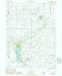
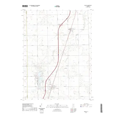
Editions of this 1949 Buckley Map
2 editions found
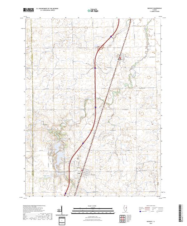
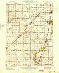
Historical Maps of Gilman Through Time
8 maps found