
1949 Map of Cissna Park
USGS Topo · Published 1949About this map
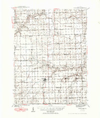
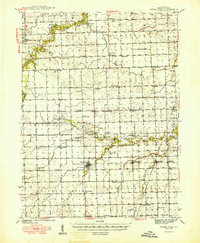
Cissna Park anchors this central Illinois agricultural landscape as it appeared in the late 1940s, situated at the confluence of several townships including Artesia, Ash Grove, and Pigeon. The map reveals a dense network of rural infrastructure, most notably an exceptional concentration of country schoolhouses that served the farming community, such as Possum Trot Sch, Pond Lily Sch, and Leemon Sch. This distribution suggests a highly localized social structure before the mid-century trend of school consolidation fully transformed the region.
Find a feature on this map
57 named features on this map. Tap any name to fly to it.
Don’t see what you’re looking for? This feature index may not catch every label — zoom into the map to look around manually.
Map Details
Editions of this 1949 Cissna Park Map
3 editions found
Other maps of this area

1924 · Paxton
USGS Topo · 1:62,500

1927 · Paxton
USGS Topo · 1:62,500

1933 · Hoopeston
USGS Topo · 1:48,000

1935 · Watseka
USGS Topo · 1:48,000

1936 · Potomac
USGS Topo · 1:62,500

1938 · Milford
USGS Topo · 1:48,000

1938 · Hoopeston
USGS Topo · 1:62,500

1939 · Watseka
USGS Topo · 1:62,500

1939 · Cissna Park
USGS Topo · 1:62,500

1944 · Milford
USGS Topo · 1:62,500