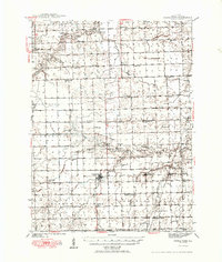
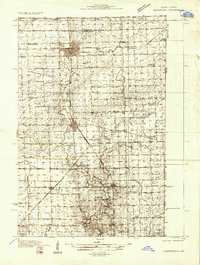
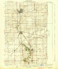
1949 Map of Cissna Park
USGS Topo · Published 1949About this map
Cissna Park sits at the center of this Iroquois County landscape, serving as a hub for the agricultural surrounding townships of Artesia, Ash Grove, and Pigeon Grove. The 1940s landscape is defined by an incredibly dense network of rural schoolhouses, including uniquely named sites like Possum Trot Sch, Pond Lily Sch, and Quaker Sch, which reflect the localized nature of education before mid-century district consolidations. The Chicago and Eastern Illinois railroad cuts through the southeastern corner, supporting the small grain-stop communities of Claytonville, Goodwine, and Hickman. Beyond the village centers, the map details the subtle drainage of the prairie through Pigeon Creek, Whisky Creek, and Fountain Creek, while marking spiritual landmarks such as the Apostolic Christian Ch and St Johns Ch.
Find a feature on this map
58 named features on this map. Tap any name to fly to it.
Don’t see what you’re looking for? This feature index may not catch every label — zoom into the map to look around manually.
Map Details
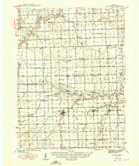
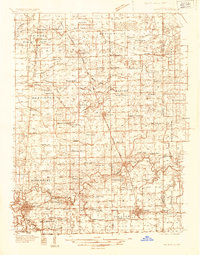
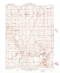
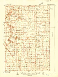
Editions of this 1949 Cissna Park Map
3 editions found

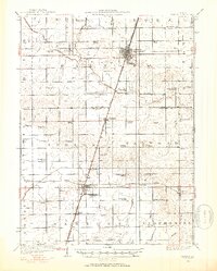
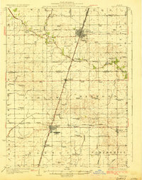
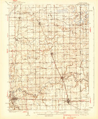
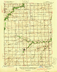
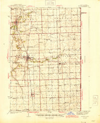
Other maps of this area
1924 · Paxton
USGS Topo · 1:62,500
1927 · Paxton
USGS Topo · 1:62,500
1933 · Hoopeston
USGS Topo · 1:48,000
1935 · Watseka
USGS Topo · 1:48,000
1936 · Potomac
USGS Topo · 1:62,500
1938 · Milford
USGS Topo · 1:48,000
1938 · Hoopeston
USGS Topo · 1:62,500
1939 · Watseka
USGS Topo · 1:62,500
1939 · Cissna Park
USGS Topo · 1:62,500
1944 · Milford
USGS Topo · 1:62,500