2000s (21st Century) Maps of Murphysboro, Illinois
Explore 10 historic maps of Murphysboro from the 2000s (21st Century). These maps offer a rare glimpse into what life looked like during the 2000s — showing old roads, neighborhoods, homes, and landmarks that have changed or disappeared over time.
Whether you're researching your family's past, planning a metal detecting trip, or studying how Murphysboro's landscape evolved across the 2000s, these high-resolution maps are a powerful tool for exploring the history of this region.
- Focus on a specific era: All maps on this page are from the 2000s, giving you a focused view of this time period.
- See what’s changed: Compare century-old streets, trails, and buildings to today's modern landscape using overlays and satellite layers.
- Research with precision: Use these maps for genealogy, historical research, land use analysis, or educational projects.
- View, download, or print: Maps are fully viewable online in high resolution, and can be downloaded or printed for your own records.
Start exploring Murphysboro's history through authentic maps from the 2000s. This is your window into the past.
Murphysboro, IL maps
(10)- 2012 Map of Murphysboro, 2012 Print
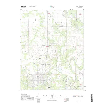
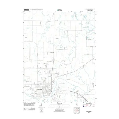 2012 Murphysboro2012 Print · USGSCovers Murphysboro, including Carbondale, Mount Carbon, and other nearby areas
 - 2012 Map of Pomona, 2012 Print
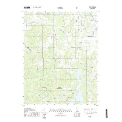
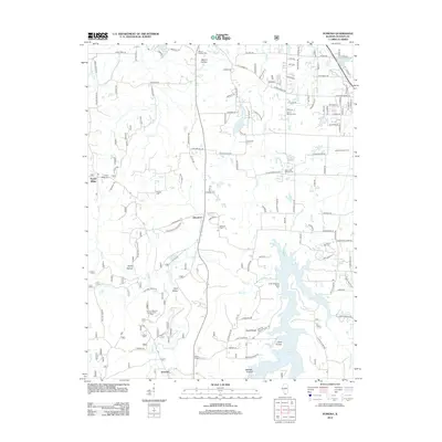 2012 Pomona2012 Print · USGSCovers Murphysboro, including Carbondale, Pomona, and other nearby areas
 - 2015 Map of Murphysboro, 2015 Print
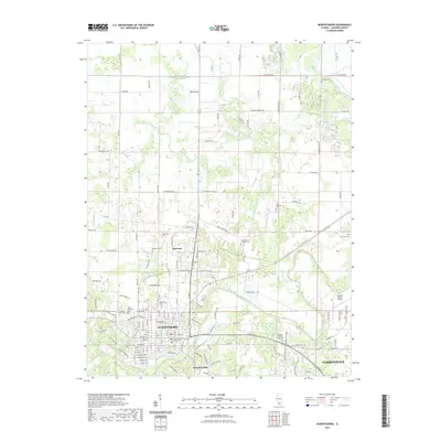
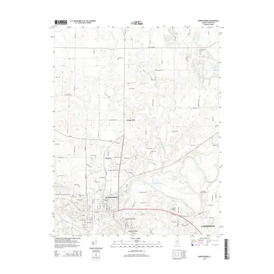 2015 Murphysboro2015 Print · USGSCovers Murphysboro, including Carbondale, Mount Carbon, and other nearby areas
 - 2015 Map of Pomona, 2015 Print
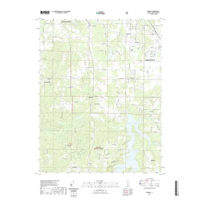
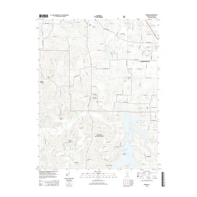 2015 Pomona2015 Print · USGSCovers Murphysboro, including Carbondale, Pomona, and other nearby areas
 - 2018 Map of Murphysboro, 2018 Print
 2018 Murphysboro2018 Print · USGSCovers Murphysboro, including Carbondale, Mount Carbon, and other nearby areas
 - 2018 Map of Pomona, 2018 Print
 2018 Pomona2018 Print · USGSCovers Murphysboro, including Carbondale, Pomona, and other nearby areas
 - 2021 Map of Pomona, 2021 Print
 2021 Pomona2021 Print · USGSCovers Murphysboro, including Carbondale, Pomona, and other nearby areas
 - 2021 Map of Murphysboro, 2021 Print
 2021 Murphysboro2021 Print · USGSCovers Murphysboro, including Carbondale, Mount Carbon, and other nearby areas
 - 2024 Map of Murphysboro, 2024 Print
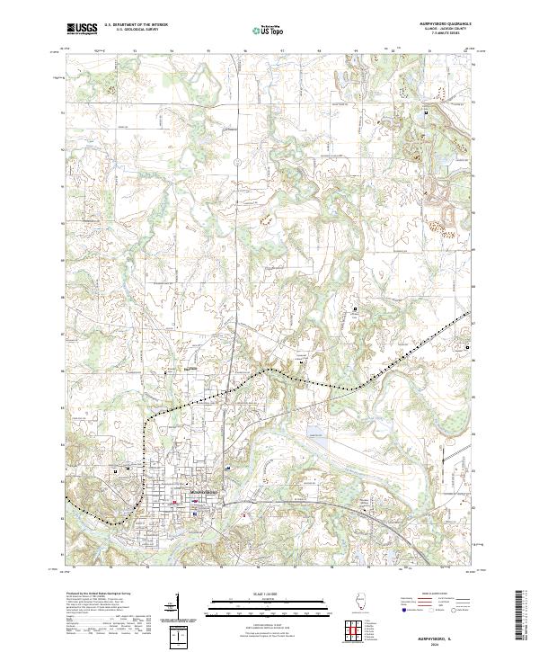 2024 Murphysboro2024 Print · USGSMurphysboro and the surrounding Jackson County bottomlands are captured here as they appear today, centered on the river-bend geography of the Big Muddy. Researchers can trace local lineage through a high density of cemeteries, including Murphysboro City Cem, Central Cem, and the rural Beasley Cem.
 - 2024 Map of Pomona, 2024 Print
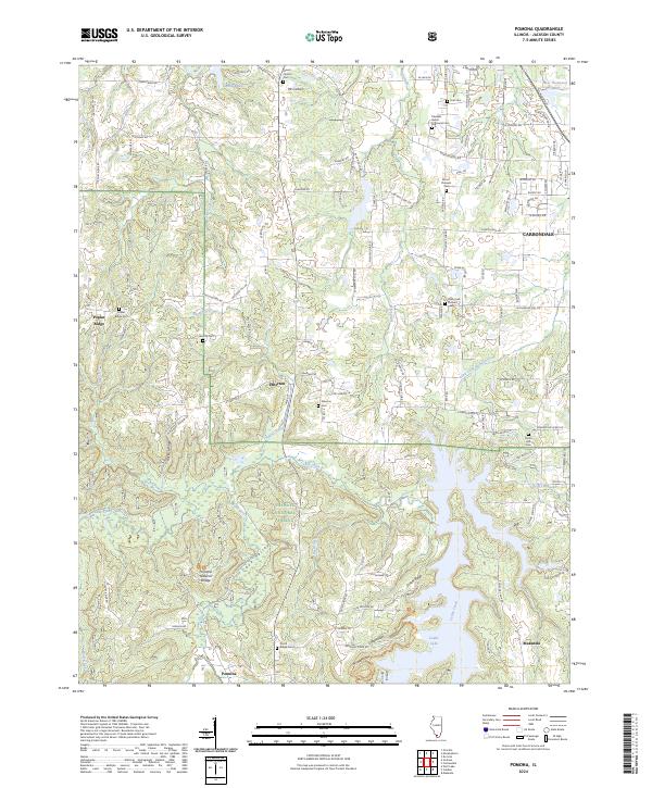 2024 Pomona2024 Print · USGSSouthern Jackson County comes into focus in this recent survey, showcasing the overlap between municipal growth and the rugged SHAWNEE NATIONAL FOREST. Genealogists can trace family names at Poplar Ridge Cem or locate the unique Pomona Natural Bridge near Pomona.
End of results
Showing maps 1-10 of 10
Top cities near Murphysboro
- Carbondale historical maps
- Du Quoin historical maps
- Carterville historical maps
- De Soto historical maps
- Cambria historical maps
- Royalton historical maps
See more
Top neighborhoods of Murphysboro
Frequently asked questions
- What are the different types of historical maps available for Murphysboro?
- What is the oldest map of Murphysboro?
- Where can I purchase historical maps of Murphysboro for my home or office?
- Where can I download high-res historical maps of Murphysboro?
- Are there historical topographic maps available for Murphysboro?
- Is there historical aerial imagery available for Murphysboro?
- Where are historical maps of Murphysboro sourced from?