Old Maps of Shamrock, Illinois
Explore 11 old maps of Shamrock, spanning from 1941 to today. These high-resolution historic maps reveal how streets, neighborhoods, landmarks, and natural features evolved over time — perfect for genealogy, metal detecting, research, and local history exploration.
What you can do with these maps:
- See how Shamrock changed over time: Compare historical maps to modern-day views to trace roads, homesites, rail lines & more.
- View detailed metadata: Each map includes creators, publishers, year, scale, and archive source.
- Overlay maps with satellite & LiDAR: Visualize the past alongside modern tools to explore terrain & human change.
- Trusted historical sources: Maps sourced from the USGS, Library of Congress, and other archives.
- Access maps your way: View online, download high-res files, or order prints for personal or research use.
Start exploring old maps of Shamrock to uncover forgotten places, hidden landmarks, and the deep history beneath your feet.
Shamrock, IL maps
(11)- 1941 Map of Newton, 1972 Print
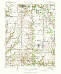 1941 Newton1972 Print · USGSJasper and Richland counties appear here during the early 1940s, showing a landscape of river-valley farms and small rail towns. Genealogists can trace family footprints through dozens of rural landmarks like Onion Prairie Sch, Bethel Cem, and Willow Hill.
 - 1943 Map of Newton
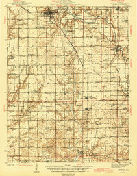 1943 Newton1943 Print · USGSJasper and Richland counties are captured here in the early 1940s, showing a landscape defined by the Embarrass River and the Illinois Central railroad. Genealogists can locate dozens of country schools and churches, from Brush College Sch to Shiloh Ch.2 unique versions available
 - 1958 Map of Belleville, 1973 Print
 1958 Belleville1973 Print · USGSSouthern Illinois during the mid-twentieth century reveals a landscape of industrial growth and massive new reservoirs. Genealogists and historians can trace the paths of the Illinois Central RR through towns like Centralia or locate landmarks such as Emerald Mound and the Looking Glass Prairie.3 unique versions available
 - 1962 Map of Belleville
 1962 Belleville1962 Print · USGSSouthern Illinois in the late fifties reveals a landscape of industrial growth and ancient landmarks before the full expansion of the interstate system. Genealogists can trace family names and rural post offices near Centralia, Salem, and the historic Monks Mound.
 - 1985 Map of Newton
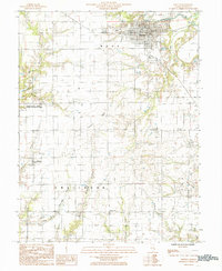 1985 Newton1985 Print · USGSJasper County in the mid-1980s reveals a landscape of river-valley agriculture and dedicated conservation land. Researchers can locate family homesteads near Bogota or Shamrock and trace the boundaries of the Jasper County State Prairie Chicken Sanctuary.
 - 1986 Map of Olney
 1986 Olney1986 Print · USGSSouth-central Illinois in the mid-eighties shows a landscape of small agricultural towns linked by historic rail lines and prairie preserves. Trace family roots and vanished rail stops near Kinmundy, the Prairie Chicken Sanctuary, and Salem.2 unique versions available
 - 2012 Map of Newton, 2012 Print
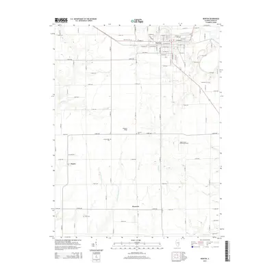
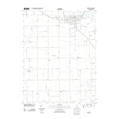 2012 Newton2012 Print · USGSCovers Shamrock, including Newton, Bogota, and other nearby areas
 - 2015 Map of Newton, 2015 Print
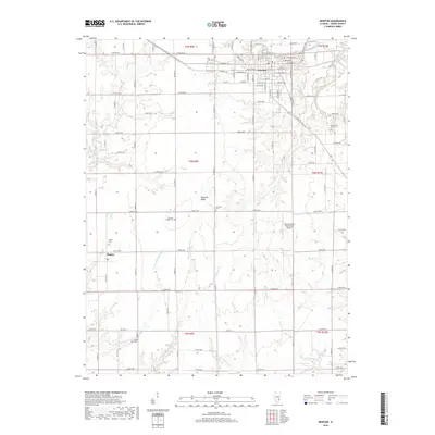
 2015 Newton2015 Print · USGSCovers Shamrock, including Newton, Bogota, and other nearby areas
 - 2018 Map of Newton, 2018 Print
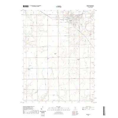
 2018 Newton2018 Print · USGSCovers Shamrock, including Newton, Bogota, and other nearby areas
 - 2021 Map of Newton, 2021 Print
 2021 Newton2021 Print · USGSCovers Shamrock, including Newton, Bogota, and other nearby areas
 - 2024 Map of Newton, 2024 Print
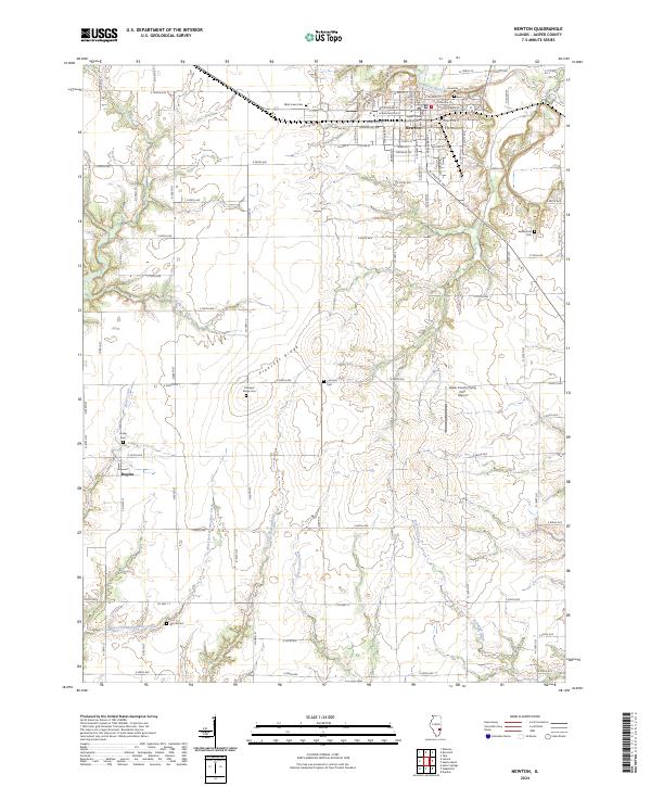 2024 Newton2024 Print · USGSJasper County settlement and agriculture are centered on the city of Newton as it appeared in the early 2020s. Researchers can trace numerous family-named landmarks and burial grounds, including Pleasant Ridge Cem, Cummins Cem, and Woods Cem.
End of results
Showing maps 1-11 of 11
Top cities near Shamrock
- Olney historical maps
- Newton historical maps
- Clay City historical maps
- Dieterich historical maps
- Noble historical maps
- Hunt City historical maps
See more
Frequently asked questions
- What are the different types of historical maps available for Shamrock?
- What is the oldest map of Shamrock?
- Where can I purchase historical maps of Shamrock for my home or office?
- Where can I download high-res historical maps of Shamrock?
- Are there historical topographic maps available for Shamrock?
- Is there historical aerial imagery available for Shamrock?
- Where are historical maps of Shamrock sourced from?