Old Maps of Scheller, Illinois for Metal Detecting
Plan your next treasure hunt with 11 historic maps of Scheller. Find old homesites, ghost towns, trails, and gathering spots that may be lost to time — perfect for identifying promising metal detecting locations.
- Locate forgotten sites: Uncover places like long-lost settlements, abandoned rail lines, or gathering spots.
- Plan better hunts: Use map overlays combined with LiDAR or satellite views to narrow in on historically rich areas.
- Made for detectorists: Thousands of hobbyists use these maps to discover relics, coins, and hidden history.
Use these historic maps to boost your research and find new opportunities beneath the surface of Scheller.
Scheller, IL maps
(11)- 1926 Map of Duquoin
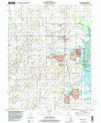
 1926 Duquoin1926 Print · USGSSouthern Illinois coal country is at its industrial peak in the mid-twenties, with thriving rail towns and active collieries. You can trace early 20th-century family roots at Young's Chapel or locate old operations like the Big Ben Mine and Old Keller Mine.3 unique versions available
 - 1958 Map of Belleville, 1973 Print
 1958 Belleville1973 Print · USGSSouthern Illinois during the mid-twentieth century reveals a landscape of industrial growth and massive new reservoirs. Genealogists and historians can trace the paths of the Illinois Central RR through towns like Centralia or locate landmarks such as Emerald Mound and the Looking Glass Prairie.3 unique versions available
 - 1962 Map of Belleville
 1962 Belleville1962 Print · USGSSouthern Illinois in the late fifties reveals a landscape of industrial growth and ancient landmarks before the full expansion of the interstate system. Genealogists can trace family names and rural post offices near Centralia, Salem, and the historic Monks Mound.
 - 1975 Map of Waltonville, 1977 Print
 1975 Waltonville1977 Print · USGSJefferson County was defined by its coal-and-rail economy in the 1970s, as industry expanded alongside the waters of Rend Lake. Trace family histories and local commerce through sites like Waltonville, the Orient No 3 Mine, and the St Barbara Cem.2 unique versions available
 - 1985 Map of Pinckneyville
 1985 Pinckneyville1985 Print · USGSSouthern Illinois in the mid-eighties shows a landscape of prairie farms, coal extraction, and vital rail corridors. Researchers can trace the rail-side growth of Venedy Station and New Memphis Station or locate landmarks like St Libory Church and Memorial Gardens Cem.2 unique versions available
 - 1998 Map of Waltonville, 2000 Print
 1998 Waltonville2000 Print · USGSJefferson County in the late nineties is defined by the expanse of Rend Lake and its managed waterfowl areas. Genealogists and historians can trace numerous rural landmarks, from St Barbara Ch to family plots like Gilbert Cem and Bush Hill Cem.
 - 2012 Map of Waltonville, 2012 Print
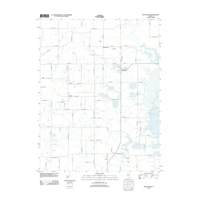 2012 Waltonville2012 Print · USGSCovers Scheller, including Waltonville, Emerson City, and other nearby areas
 - 2015 Map of Waltonville, 2015 Print
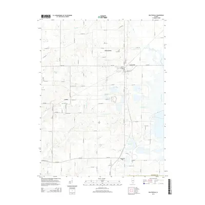 2015 Waltonville2015 Print · USGSCovers Scheller, including Waltonville, Emerson City, and other nearby areas
 - 2018 Map of Waltonville, 2018 Print
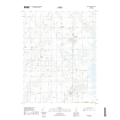 2018 Waltonville2018 Print · USGSCovers Scheller, including Waltonville, Emerson City, and other nearby areas
 - 2021 Map of Waltonville, 2021 Print
 2021 Waltonville2021 Print · USGSCovers Scheller, including Waltonville, Emerson City, and other nearby areas
 - 2024 Map of Waltonville, 2024 Print
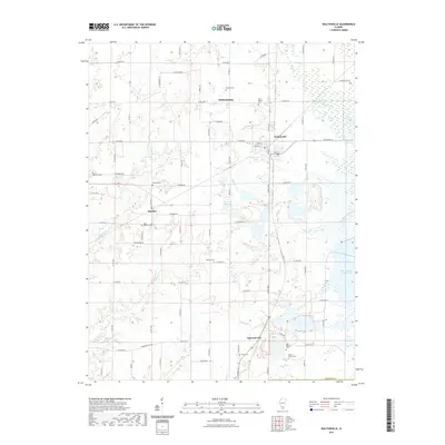
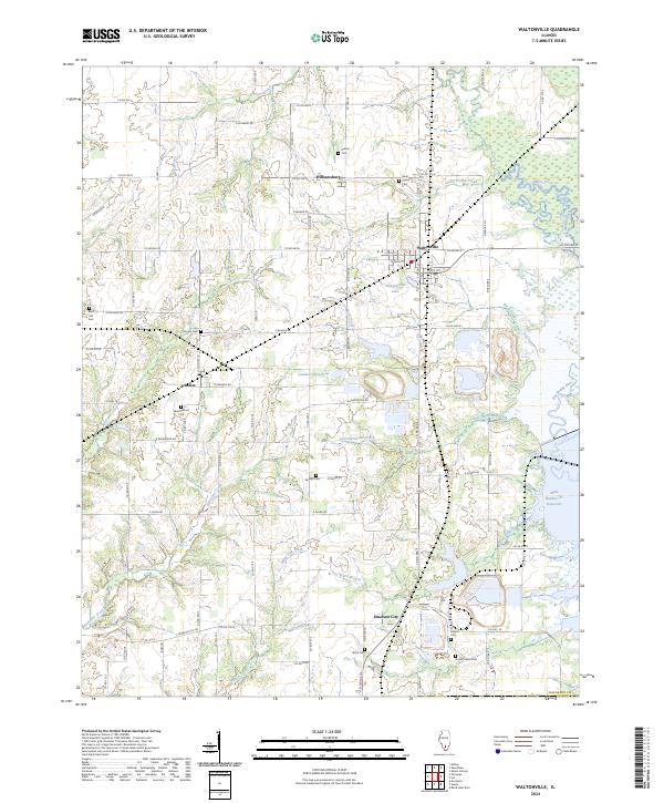 2024 Waltonville2024 Print · USGSJefferson County’s rural townships and small coal-country hamlets are preserved here in the mid-2020s. Researchers can locate numerous family burial grounds including Stevens Cem and Old Baptist Cem, or trace the waters of Rayse Creek.
End of results
Showing maps 1-11 of 11
Top cities near Scheller
- Mount Vernon historical maps
- Benton historical maps
- Du Quoin historical maps
- Pinckneyville historical maps
- Christopher historical maps
- Ina historical maps
See more
Frequently asked questions
- What are the different types of historical maps available for Scheller?
- What is the oldest map of Scheller?
- Where can I purchase historical maps of Scheller for my home or office?
- Where can I download high-res historical maps of Scheller?
- Are there historical topographic maps available for Scheller?
- Is there historical aerial imagery available for Scheller?
- Where are historical maps of Scheller sourced from?