Old Maps of Hanover, Illinois for Academic Research
Study the evolution of Hanover with 29 high-resolution historic maps. Whether you're teaching, researching, or modeling changes in land use, these maps provide essential visual documentation of urban, environmental, and geographic change.
- Analyze long-term change: Track patterns in development, transportation, and natural features.
- Ideal for environmental or urban studies: Support academic projects with primary historical map data.
- Use in the classroom or lab: Educators and researchers rely on these maps to bring historical context to life.
These maps are a powerful tool for teaching, research, and visualizing how Hanover has changed over the decades.
Hanover, IL maps
(29)- 1911 Map of Elizabeth
 1911 Elizabeth1911 Print · USGSNorthwestern Illinois at the start of the century was a landscape of ridge-top schools and valley-floor mines. Genealogists can trace early homesteads near Salem Church or locate historic mining operations like the Illinois Mines and Skene Mine.2 unique versions available
 - 1911 Map of Galena, 1953 Print
 1911 Galena1953 Print · USGSBefore the decline of the local lead industry, this area was a hub of mining and river commerce. Genealogists can trace family names through dozens of rural schools and mines like Blackjack Mine, or locate long-lost river crossings like Gears Ferry.3 unique versions available
 - 1913 Map of Galena
 1913 Galena1913 Print · USGSThe mining and river districts of Jo Daviess County are captured here just before the First World War. Genealogists and researchers can locate family-named landmarks like Horseshoe Mound, local schools such as Miners School, and industrial sites like the Hoskin Mine.3 unique versions available
 - 1935 Map of Miles, 1957 Print
 1935 Miles1957 Print · USGSIn the mid-1930s, the Mississippi River shoreline was defined by military expansion and the rail economy. Genealogists and historians can trace the foundations of the Savanna Ordnance Depot and local landmarks like Whitton and Lost Mound Sch.
 - 1936 Map of Elizabeth, 1957 Print
 1936 Elizabeth1957 Print · USGSNorthwest Illinois is shown in the mid-1930s as a landscape of isolated mounds and active lead mines. Genealogists can trace rural communities through dozens of local schoolhouses like Equal Rights School and small mining sites such as the Illinois Mine.2 unique versions available
 - 1941 Map of Miles
 1941 Miles1941 Print · USGSThe Mississippi River borderlands come alive in this pre-war survey, documenting the small settlements and rail lines that defined the Jo Daviess and Carroll County line. Researchers can trace the river's complex island system or find local landmarks like Whitton, Lost Mound, and the Lost Mound Sch.2 unique versions available
 - 1953 Map of Green Island, 1956 Print
 1953 Green Island1956 Print · USGSThe Mississippi River backwaters and the Savanna Ordnance Depot define this mid-century borderland between Iowa and Illinois. Genealogists and researchers can trace rural life through the Lost Mound Cem, Grand View Sch, and the rail stop at Whitton.3 unique versions available
 - 1959 Map of Dubuque, 1982 Print
 1959 Dubuque1982 Print · USGSThe Tri-State region comes alive in the mid-twentieth century as a hub of river commerce and rail transit. Genealogists and historians can trace the paths of the Illinois Central Gulf through Dubuque or locate the Savanna Ordnance Depot and Lock and Dam No 11.
 - 1961 Map of Dubuque
 1961 Dubuque1961 Print · USGSThe Tri-State region's river-and-rail landscape is captured here during the early sixties, showing the convergence of Iowa, Illinois, and Wisconsin. Trace mid-century rail lines like the Chicago Great Western Ry and explore sites like the Savanna Ordnance Depot and Backbone State Park.
 - 1962 Map of Dubuque
 1962 Dubuque1962 Print · USGSThe Tri-State region's river-and-rail economy is captured here in the early sixties, centered on the Mississippi River bluffs. Genealogists and historians can locate Numerous lead and zinc mines, the New Melleray Abbey Monastery, and rural hubs like Saint Olaf.2 unique versions available
 - 1968 Map of Hanover, 1970 Print
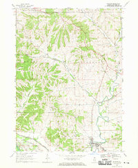 1968 Hanover1970 Print · USGSJo Daviess County in the late sixties shows a transition from rural farmland to significant military and industrial land use. Researchers can trace family history at Log Church Cem or study the extensive rail infrastructure of the Chicago and North Western and the Savanna Army Depot.3 unique versions available
 - 1968 Map of Elizabeth, 1970 Print
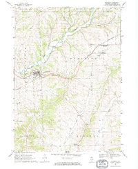 1968 Elizabeth1970 Print · USGSThe rolling hills of Jo Daviess County come into focus during the late sixties as the rail lines shaped local trade. Researchers can trace family sites near Elizabeth, Woodbine, and Derinda Center, alongside landmarks like St Marys Cem and the Bible Ch.
 - 1976 Map of Dubuque
 1976 Dubuque1976 Print · USGSThe tri-state borderlands of Iowa, Wisconsin, and Illinois come alive during the mid-seventies, showing a region built on river commerce and mining. Genealogists and historians can trace the paths of the Illinois Central railroad or locate heritage sites like the New Melleray Abbey Monastery and Backbone State Park.
 - 1984 Map of Dubuque South, 1985 Print
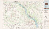 1984 Dubuque South1985 Print · USGSEastern Iowa and Northwest Illinois meet along the Mississippi in the mid-eighties, a landscape defined by river industry and limestone bluffs. Trace the rail lines of the Illinois Central Gulf or explore notable sites like the Savanna Army Depot and Maquoketa Caves State Park.4 unique versions available
 - 2010 Map of Green Island, 2010 Print
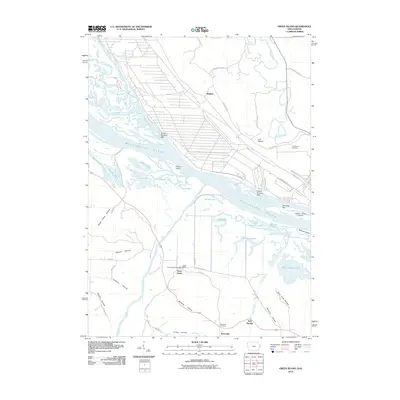 2010 Green Island2010 Print · USGSThe Mississippi River valley along the Iowa-Illinois border is documented here in the early twenty-first century. Genealogists and historians can trace family locations near Whitton and Reeceville, or locate the Green Island Post Office and Lost Mound Cemetery.
 - 2012 Map of Elizabeth, 2012 Print
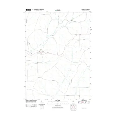 2012 Elizabeth2012 Print · USGSElizabeth and the surrounding Jo Daviess County countryside appear in clear detail during the early twenty-first century. Genealogists and local researchers can trace family landmarks and cemeteries such as Saint Marys Cem, Woodbine, and Terrapin Ridge.
 - 2012 Map of Hanover, 2012 Print
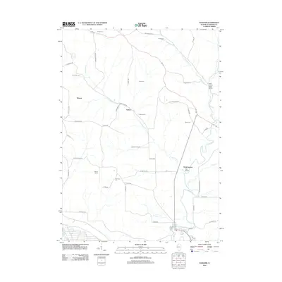 2012 Hanover2012 Print · USGSThe Apple River valley in Jo Daviess County appears here in the early twenty-first century, showcasing a rural landscape defined by historic farmsteads and creek drainages. Genealogists can locate Weston Cem and Log Church Cem or trace the early settlements of Winston and Rodden.
 - 2013 Map of Green Island, 2013 Print
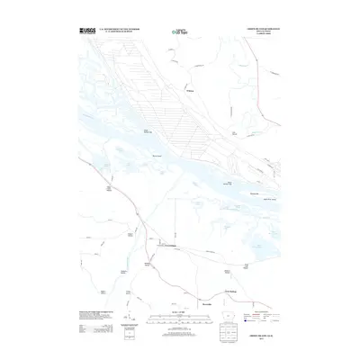 2013 Green Island2013 Print · USGSThe Mississippi River valley at the turn of the century shows a rich landscape of sloughs and hollows where the Maquoketa and Apple Rivers meet. Trace local history through family-named landmarks like Schlect Hollow, the settlement of Green Island, and Kennedy Bar on the river.
 - 2015 Map of Elizabeth, 2015 Print
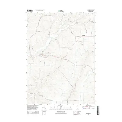 2015 Elizabeth2015 Print · USGSJo Daviess County settlements and the winding Apple River are documented here during the mid-2010s. Genealogists and local historians can trace family land via Old Fort Rd or locate burials at Saint Marys Cem and Woodbine Cem.
 - 2015 Map of Hanover, 2015 Print
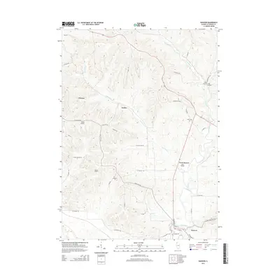 2015 Hanover2015 Print · USGSThe Apple River valley in Jo Daviess County is captured here in the mid-2010s as it winds through a landscape of deep hollows and rural settlements. Genealogists and local historians can locate Log Church Cem, Weston Cem, and the small communities of Rodden and Winston.
 - 2015 Map of Green Island, 2015 Print
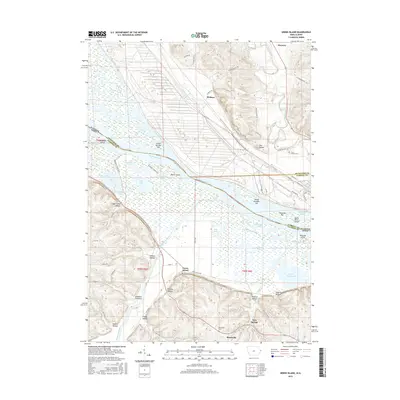 2015 Green Island2015 Print · USGSThe river borders of Illinois and Iowa come alive in the mid-2010s at the confluence of the Mississippi and Maquoketa. Researchers can trace rural cemeteries like Reeceville Cem and historical settlements from Whitton to Green Island.
 - 2018 Map of Hanover, 2018 Print
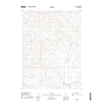 2018 Hanover2018 Print · USGSThe Jo Daviess County hills appear here during the late twenty-teens, showing the winding Apple River and the rural communities of Hanover and Winston. Genealogists can locate family sites near Log Church Cem, Weston Cem, and the high ridges of Irish Hollow.
 - 2018 Map of Elizabeth, 2018 Print
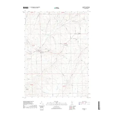 2018 Elizabeth2018 Print · USGSThe village of Elizabeth and the surrounding Jo Daviess County uplands are captured here in the late twenty-tens. Researchers can trace rural lineages through sites like Woodbine Cem and Saint Marys Cem or follow the historical path of Old Fort Rd near Terrapin Ridge.
 - 2018 Map of Green Island, 2018 Print
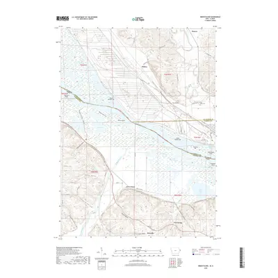 2018 Green Island2018 Print · USGSThe river confluence near Green Island and Hanover is captured in this 2018 survey, documenting a landscape of complex waterways and bluff-side settlements. Researchers can trace local history through sites like Reeceville Cem, Whitton, and Lost Mound.
 - 2021 Map of Hanover, 2021 Print
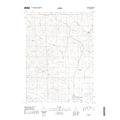 2021 Hanover2021 Print · USGSNorthwestern Illinois hill country is captured here in the early 2020s, centered on the Apple River and the village of Hanover. Researchers can locate several burial sites including Log Church Cem and Weston Cem, or trace the deep drainage of Long Hollow.
Showing maps 1-25 of 29
Top cities near Hanover
- Galena historical maps
- Savanna historical maps
- Bellevue historical maps
- Preston historical maps
- Guilford historical maps
- Elizabeth historical maps
See more
Frequently asked questions
- What are the different types of historical maps available for Hanover?
- What is the oldest map of Hanover?
- Where can I purchase historical maps of Hanover for my home or office?
- Where can I download high-res historical maps of Hanover?
- Are there historical topographic maps available for Hanover?
- Is there historical aerial imagery available for Hanover?
- Where are historical maps of Hanover sourced from?