Old Maps of West Galena Township, Illinois for Hiking & Exploration
Hike through history with 30 historic maps of West Galena Township. Explore old trails, ghost towns, and forgotten backroads — perfect for outdoor adventurers and local explorers.
- Rediscover forgotten places: Map out old mining camps, roads, and footpaths that no longer exist on modern maps.
- Layer with modern tools: Combine with LiDAR or satellite views to plan hikes through historical terrain.
- Made for exploration: Popular among hikers, overlanders, and local history lovers.
Use these maps to find adventure and explore the hidden past of West Galena Township.
West Galena Township, IL maps
(30)- 1901 Map of Peosta
 1901 Peosta1901 Print · USGSDubuque and Jackson counties were a hub of river commerce and early rail expansion at the turn of the century. Genealogists and historians can trace the foundations of communities like Peosta, St.Donatus, and the mill sites at Washington Mills.4 unique versions available
 - 1911 Map of Galena, 1953 Print
 1911 Galena1953 Print · USGSBefore the decline of the local lead industry, this area was a hub of mining and river commerce. Genealogists can trace family names through dozens of rural schools and mines like Blackjack Mine, or locate long-lost river crossings like Gears Ferry.3 unique versions available
 - 1913 Map of Galena
 1913 Galena1913 Print · USGSThe mining and river districts of Jo Daviess County are captured here just before the First World War. Genealogists and researchers can locate family-named landmarks like Horseshoe Mound, local schools such as Miners School, and industrial sites like the Hoskin Mine.3 unique versions available
 - 1935 Map of East Dubuque, 1957 Print
 1935 East Dubuque1957 Print · USGSThe riverfront and rail lines of Jo Daviess County come alive in this mid-1930s survey of the tri-state border region. Researchers can trace the old tracks of the Chicago Illinois Burlington and Quincy and locate vanished rural schoolhouses like Miller Sch and Sand Ridge Sch.
 - 1940 Map of East Dubuque
 1940 East Dubuque1940 Print · USGSThe Mississippi River borderlands of Jo Daviess County appear here in the mid-1930s, showing the vital rail and river connections at East Dubuque. Genealogists and local historians can trace rural school districts like Sand Ridge Sch or the riverside community of Menominee Sta.3 unique versions available
 - 1955 Map of Menominee, 1956 Print
 1955 Menominee1956 Print · USGSThe tri-state border region along the Mississippi River appears here in the mid-fifties, showing a landscape of river-bottom refuges and blufftop farms. Genealogists can locate several schools and rural settlements like Menominee and Shawondasse, or trace the tracks of the Illinois Central railroad.3 unique versions available
 - 1959 Map of Dubuque, 1982 Print
 1959 Dubuque1982 Print · USGSThe Tri-State region comes alive in the mid-twentieth century as a hub of river commerce and rail transit. Genealogists and historians can trace the paths of the Illinois Central Gulf through Dubuque or locate the Savanna Ordnance Depot and Lock and Dam No 11.
 - 1961 Map of Dubuque
 1961 Dubuque1961 Print · USGSThe Tri-State region's river-and-rail landscape is captured here during the early sixties, showing the convergence of Iowa, Illinois, and Wisconsin. Trace mid-century rail lines like the Chicago Great Western Ry and explore sites like the Savanna Ordnance Depot and Backbone State Park.
 - 1962 Map of Dubuque
 1962 Dubuque1962 Print · USGSThe Tri-State region's river-and-rail economy is captured here in the early sixties, centered on the Mississippi River bluffs. Genealogists and historians can locate Numerous lead and zinc mines, the New Melleray Abbey Monastery, and rural hubs like Saint Olaf.2 unique versions available
 - 1968 Map of Galena, 1970 Print
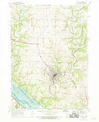 1968 Galena1970 Print · USGSThe Galena area is shown here in the late sixties, where the industrial legacy of mining meets the complex backwaters of the Mississippi. Researchers can trace historic cemeteries like Grant Hill Cem, early crossings at Gears Ferry, and the paths of the Central Illinois Railroad.4 unique versions available
 - 1968 Map of Bellevue, 1970 Print
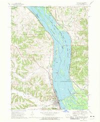 1968 Bellevue1970 Print · USGSThe Mississippi River border between Iowa and Illinois was a center of rail and river industry in the late sixties. Genealogists and historians can trace the foundations of Bellevue, the Savanna Army Depot, and old cemeteries like St Joseph Cem.3 unique versions available
 - 1976 Map of Dubuque
 1976 Dubuque1976 Print · USGSThe tri-state borderlands of Iowa, Wisconsin, and Illinois come alive during the mid-seventies, showing a region built on river commerce and mining. Genealogists and historians can trace the paths of the Illinois Central railroad or locate heritage sites like the New Melleray Abbey Monastery and Backbone State Park.
 - 1984 Map of Dubuque South, 1985 Print
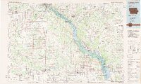 1984 Dubuque South1985 Print · USGSEastern Iowa and Northwest Illinois meet along the Mississippi in the mid-eighties, a landscape defined by river industry and limestone bluffs. Trace the rail lines of the Illinois Central Gulf or explore notable sites like the Savanna Army Depot and Maquoketa Caves State Park.4 unique versions available
 - 2010 Map of Bellevue, 2010 Print
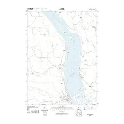 2010 Bellevue2010 Print · USGSThe riverfront communities of Iowa and Illinois are captured here in the early twenty-first century as they border the Mississippi River. Genealogists and local historians can locate numerous rural burial sites like Palmer Cemetery or trace the mining history of the California Diggins and Blackjack Mine.
 - 2010 Map of Menominee, 2010 Print
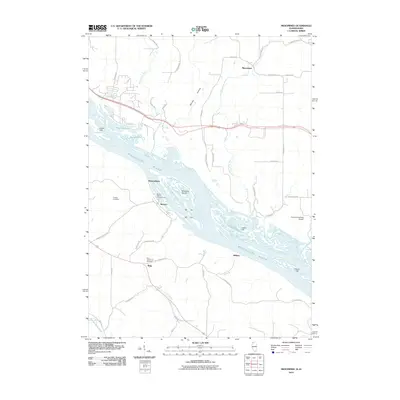 2010 Menominee2010 Print · USGSThe braided channels of the Upper Mississippi River define this border region between Illinois and Iowa during the early 21st century. Researchers can locate family burial sites at Preston Cemetery and Saint Catherines Cemetery or trace the riverfront settlements of Shawondasse and Massey.
 - 2010 Map of Galena, 2010 Print
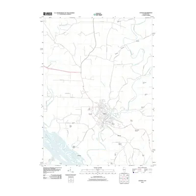 2010 Galena2010 Print · USGSThe riverfront and mining country of Jo Daviess County appear here in the early twenty-first century. Researchers can trace local lineage through Grant Hill Cemetery or locate old operations like the Merry Widow Mine and Sheboygan Mine.
 - 2012 Map of Galena, 2012 Print
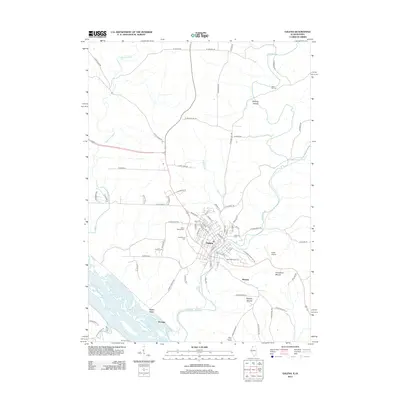 2012 Galena2012 Print · USGSGalena and its surrounding river valleys are documented here at the start of the 2010s, showcasing the town's enduring layout and its relationship with the water. Genealogists and local historians can trace burial sites like Grant Hill Cem or locate former river crossings at Gears Ferry and Gordons Ferry.
 - 2012 Map of Menominee, 2012 Print
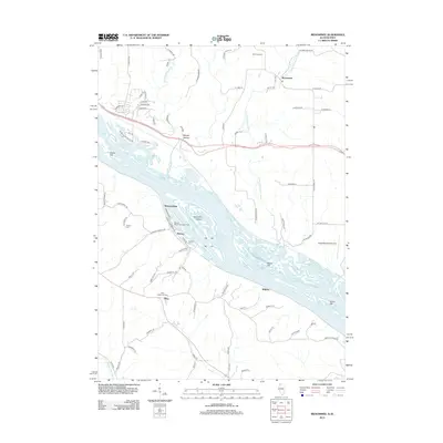 2012 Menominee2012 Print · USGSThe Illinois-Iowa border comes alive in this survey, showing a river landscape dotted with island chains and small communities. Trace family history at Preston Cem or Saint Catherines Cem, and explore old river hubs like Massey and Whisky Hollow.
 - 2013 Map of Bellevue, 2013 Print
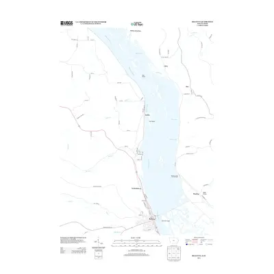 2013 Bellevue2013 Print · USGSThe Upper Mississippi River corridor is captured here in the early twenty-first century, showing the intricate island networks between Iowa and Illinois. Genealogists and local historians can trace the riverside layouts of Bellevue, Blanding, and Galena Junction along with landmarks like Hale Island and Beaty Hollow.
 - 2015 Map of Menominee, 2015 Print
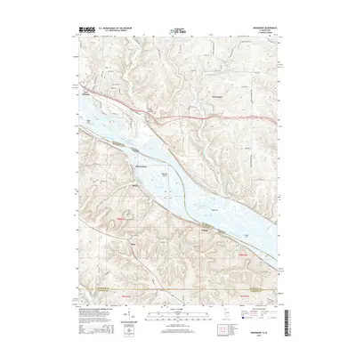 2015 Menominee2015 Print · USGSThe Mississippi River valley at the Illinois-Iowa border is captured here in detail during the mid-2010s. Genealogists and local historians can trace family locations near Saint Catherine Cem or the riverfront settlements of Massey and Shawondasse.
 - 2015 Map of Galena, 2015 Print
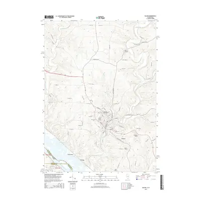 2015 Galena2015 Print · USGSThe Illinois-Iowa borderlands near the Mississippi River show a landscape of steep hollows and high ridges during the mid-2010s. Researchers can locate several historical burial sites like Saint Michaels Cem or trace river-based landmarks such as Gears Ferry and The Reach.
 - 2015 Map of Bellevue, 2015 Print
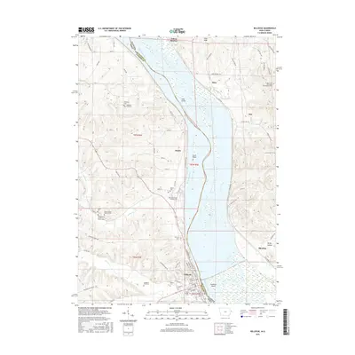 2015 Bellevue2015 Print · USGSThe riverfront town of Bellevue and the rural hills of Jackson County are shown here in the mid-2010s. Genealogists can locate numerous family-named burial sites like Daugherty Farm Cem, Potter Cem, and the Prospect Hill Methodist Episcopalian Cem.
 - 2018 Map of Galena, 2018 Print
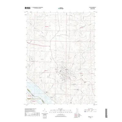 2018 Galena2018 Print · USGSGalena and the surrounding river bluffs are shown in detail during the late 2010s. Researchers can trace local history through sites like Greenwood Cem, the landing at Gears Ferry, and landmarks such as Horseshoe Mound and Pilot Knob.
 - 2018 Map of Menominee, 2018 Print
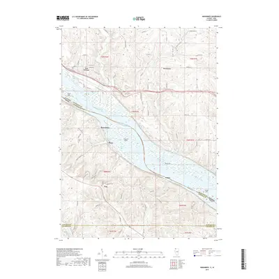 2018 Menominee2018 Print · USGSThe Mississippi River borderlands between Illinois and Iowa come into focus during the late 2010s. Local historians can trace established communities like Menominee and East Dubuque, or find family landmarks such as Preston Cem and Saint Catherines Cem.
 - 2018 Map of Bellevue, 2018 Print
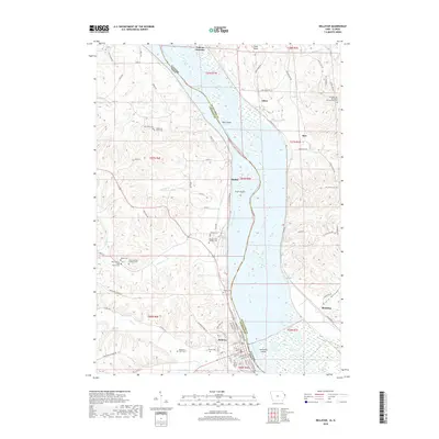 2018 Bellevue2018 Print · USGSThe Mississippi River valley comes into sharp focus in the late 2010s, showing the rural communities of Bellevue and Blanding along the Iowa-Illinois border. Genealogists can trace numerous family and parish sites like Daugherty Farm Cem and Saint Nicholas Catholic Cem among the bluffs.
Showing maps 1-25 of 30
Top cities near West Galena Township
- Dubuque historical maps
- Galena historical maps
- Bellevue historical maps
- Jamestown historical maps
- East Dubuque historical maps
- Cuba City historical maps
See more
Top neighborhoods of West Galena Township
Frequently asked questions
- What are the different types of historical maps available for West Galena Township?
- What is the oldest map of West Galena Township?
- Where can I purchase historical maps of West Galena Township for my home or office?
- Where can I download high-res historical maps of West Galena Township?
- Are there historical topographic maps available for West Galena Township?
- Is there historical aerial imagery available for West Galena Township?
- Where are historical maps of West Galena Township sourced from?