Old Maps of Kaneville Township, Illinois for Hiking & Exploration
Hike through history with 32 historic maps of Kaneville Township. Explore old trails, ghost towns, and forgotten backroads — perfect for outdoor adventurers and local explorers.
- Rediscover forgotten places: Map out old mining camps, roads, and footpaths that no longer exist on modern maps.
- Layer with modern tools: Combine with LiDAR or satellite views to plan hikes through historical terrain.
- Made for exploration: Popular among hikers, overlanders, and local history lovers.
Use these maps to find adventure and explore the hidden past of Kaneville Township.
Kaneville Township, IL maps
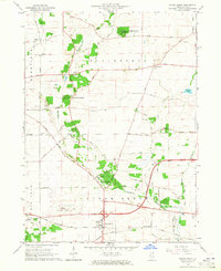
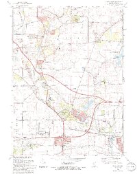
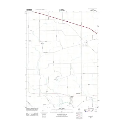
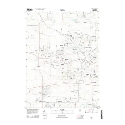
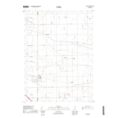
(32)- 1932 Map of Geneva
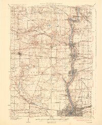 1932 Geneva1932 Print · USGSThe Fox River valley is a hive of early twentieth-century industry and civic life. Genealogists can trace family names through rural landmarks like Johnsons Mound or the many country schools, including Red Brick Sch and Stewart Sch.3 unique versions available
 - 1937 Map of Sycamore
 1937 Sycamore1937 Print · USGSDeKalb and Kane counties are captured here in the mid-thirties, showing a landscape defined by prairie agriculture and a bustling rail network. Genealogists can locate family-named landmarks and rural institutions like Ohio Grove Cem, East Pierce Ch, and Coltonville Sch.2 unique versions available
 - 1948 Map of Geneva, 1964 Print
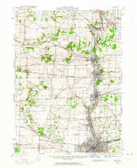 1948 Geneva1964 Print · USGSThe Fox River valley thrives in the late 1940s, showing the industrial cores of Geneva and Batavia before the suburban boom. Trace the complex rail network through Elburn and St Charles, or locate rural landmarks like Johnsons Mound and Red Brick Sch.
 - 1958 Map of Aurora, 1969 Print
 1958 Aurora1969 Print · USGSNorthern Illinois in the late fifties shows a landscape of powerful river industry and expanding transport corridors. Genealogists and historians can trace the development of Aurora and Joliet or locate sites like the Elwood Ordnance Plant and Starved Rock.3 unique versions available
 - 1961 Map of Aurora
 1961 Aurora1961 Print · USGSNorthern Illinois at the height of the post-war era reveals a landscape of massive industrial works and thriving river towns. Genealogists and historians can trace the paths of the Lincoln Highway or locate long-standing landmarks like the Green River Ordnance Plant and Starved Rock State Park.
 - 1964 Map of Elburn, 1965 Print
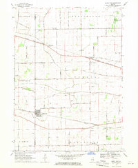
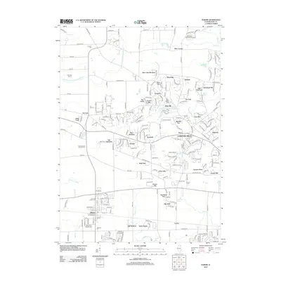
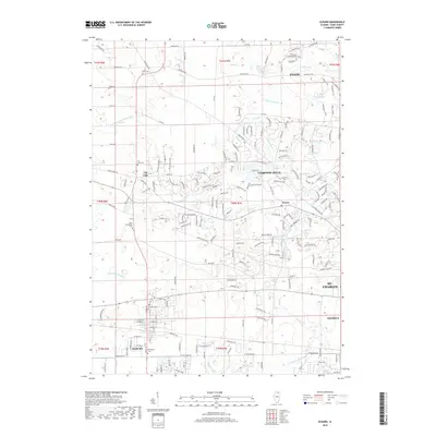
 1964 Elburn1965 Print · USGSKane County in the mid-sixties shows a landscape of steady growth along the Chicago and North Western and Chicago Great Western railroads. Genealogists can trace family names through numerous burial sites like Lily Lake Cem or Baker Cem and explore institutions like Broadview Academy.3 unique versions available
 - 1964 Map of Sugar Grove, 1965 Print
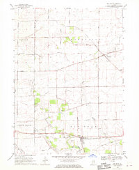
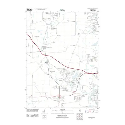
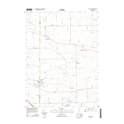
 1964 Sugar Grove1965 Print · USGSSugar Grove and its surrounding Kane County townships are shown in the mid-1960s as the area balanced its rural roots with new infrastructure. Genealogists and local historians can locate the Sugar Grove Cem, Camp Ka-De-Ka, and the early layout of the Aurora Municipal Airport.3 unique versions available
 - 1968 Map of Big Rock, 1970 Print
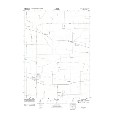
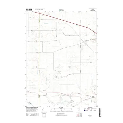
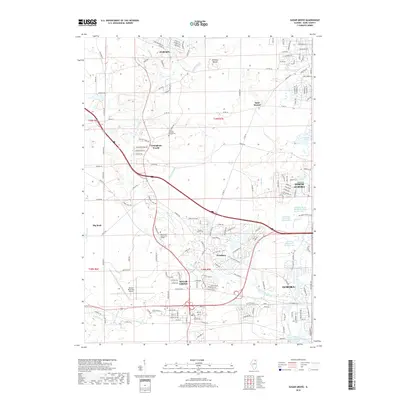
 1968 Big Rock1970 Print · USGSThe Kane and DeKalb County borderlands are seen here in the late sixties, showcasing a landscape of section-line farms and quiet rural crossroads. Genealogists can trace family names at the West Big Rock Cem or follow the Chicago Burlington and Quincy rail line through Big Rock.2 unique versions available
 - 1968 Map of Maple Park, 1970 Print
 1968 Maple Park1970 Print · USGSThe DeKalb and Kane County borderlands appear in the late sixties as a thriving rail-and-farm landscape. Researchers can trace family history through numerous rural landmarks like South Burlington Cem, SS Peter and Paul Sch, and the small siding at Richardson.2 unique versions available
 - 1985 Map of Aurora, 1989 Print
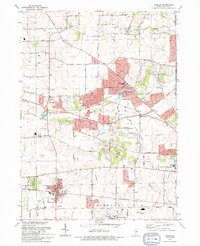
 1985 Aurora1989 Print · USGSNortheastern Illinois is captured in the mid-1980s as suburban growth began to bridge the gap between the Fox River cities and the outer prairies. Researchers can trace the development of Naperville and Aurora or locate rural landmarks like Fairview Cem and the Illinois and Michigan Canal.
 - 1993 Map of Elburn, 1994 Print
 1993 Elburn1994 Print · USGSKane County is captured here in the early nineties as rural townships began to interface with suburban growth. Genealogists can trace family names at Blackberry Cem or New Hampshire Cem and follow the old Chicago and North Western rail line.
 - 1993 Map of Sugar Grove, 1994 Print
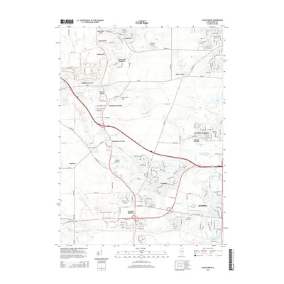
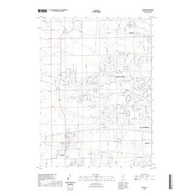
 1993 Sugar Grove1994 Print · USGSThe Kane County countryside near the end of the twentieth century shows a landscape transitioning from rural gravel mining to suburban expansion. Genealogists and historians can trace family landmarks like Sugar Grove Cem, Johnsons Mound, and the Waubonsee Community College campus.
 - 2012 Map of Sugar Grove, 2012 Print
 2012 Sugar Grove2012 Print · USGSCovers Kaneville Township, including Aurora, North Aurora, and other nearby areas
 - 2012 Map of Elburn, 2012 Print
 2012 Elburn2012 Print · USGSCovers Kaneville Township, including Elgin, St. Charles, and other nearby areas
 - 2012 Map of Maple Park, 2012 Print
 2012 Maple Park2012 Print · USGSCovers Kaneville Township, including Maple Park, Virgil, and other nearby areas
 - 2012 Map of Big Rock, 2012 Print
 2012 Big Rock2012 Print · USGSCovers Kaneville Township, including Sugar Grove, Hinckley, and other nearby areas
 - 2015 Map of Sugar Grove, 2015 Print
 2015 Sugar Grove2015 Print · USGSCovers Kaneville Township, including Aurora, North Aurora, and other nearby areas
 - 2015 Map of Big Rock, 2015 Print
 2015 Big Rock2015 Print · USGSCovers Kaneville Township, including Sugar Grove, Hinckley, and other nearby areas
 - 2015 Map of Maple Park, 2015 Print
 2015 Maple Park2015 Print · USGSCovers Kaneville Township, including Maple Park, Virgil, and other nearby areas
 - 2015 Map of Elburn, 2015 Print
 2015 Elburn2015 Print · USGSCovers Kaneville Township, including Elgin, St. Charles, and other nearby areas
 - 2018 Map of Elburn, 2018 Print
 2018 Elburn2018 Print · USGSCovers Kaneville Township, including Elgin, St. Charles, and other nearby areas
 - 2018 Map of Sugar Grove, 2018 Print
 2018 Sugar Grove2018 Print · USGSCovers Kaneville Township, including Aurora, North Aurora, and other nearby areas
 - 2018 Map of Big Rock, 2018 Print
 2018 Big Rock2018 Print · USGSCovers Kaneville Township, including Sugar Grove, Hinckley, and other nearby areas
 - 2018 Map of Maple Park, 2018 Print
 2018 Maple Park2018 Print · USGSCovers Kaneville Township, including Maple Park, Virgil, and other nearby areas
 - 2021 Map of Elburn, 2021 Print
 2021 Elburn2021 Print · USGSCovers Kaneville Township, including Elgin, St. Charles, and other nearby areas
Showing maps 1-25 of 32
Top cities near Kaneville Township
- Aurora historical maps
- Elgin historical maps
- DeKalb historical maps
- Batavia historical maps
- Oswego historical maps
- St. Charles historical maps
See more
Top neighborhoods of Kaneville Township
- Troxel historical maps
- Pine View historical maps
- Kaneland Estates historical maps
- Kaneville historical maps
Frequently asked questions
- What are the different types of historical maps available for Kaneville Township?
- What is the oldest map of Kaneville Township?
- Where can I purchase historical maps of Kaneville Township for my home or office?
- Where can I download high-res historical maps of Kaneville Township?
- Are there historical topographic maps available for Kaneville Township?
- Is there historical aerial imagery available for Kaneville Township?
- Where are historical maps of Kaneville Township sourced from?