2000s (21st Century) Maps of Illiana Heights, Illinois
Explore 6 historic maps of Illiana Heights from the 2000s (21st Century). These maps offer a rare glimpse into what life looked like during the 2000s — showing old roads, neighborhoods, homes, and landmarks that have changed or disappeared over time.
Whether you're researching your family's past, planning a metal detecting trip, or studying how Illiana Heights's landscape evolved across the 2000s, these high-resolution maps are a powerful tool for exploring the history of this region.
- Focus on a specific era: All maps on this page are from the 2000s, giving you a focused view of this time period.
- See what’s changed: Compare century-old streets, trails, and buildings to today's modern landscape using overlays and satellite layers.
- Research with precision: Use these maps for genealogy, historical research, land use analysis, or educational projects.
- View, download, or print: Maps are fully viewable online in high resolution, and can be downloaded or printed for your own records.
Start exploring Illiana Heights's history through authentic maps from the 2000s. This is your window into the past.
Illiana Heights, IL maps
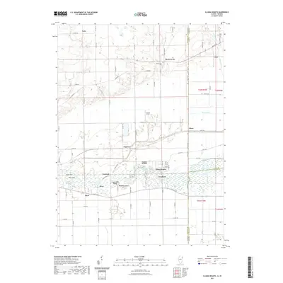
(6)- 2010 Map of Illiana Heights, 2010 Print
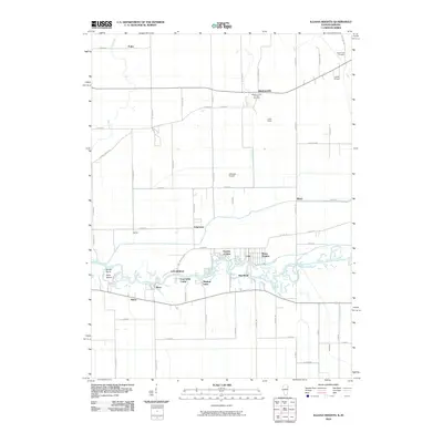 2010 Illiana Heights2010 Print · USGSCovers Illiana Heights, including Grant Park, Shadow Lawn, and other nearby areas
 - 2012 Map of Illiana Heights, 2012 Print
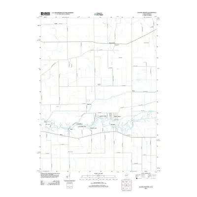 2012 Illiana Heights2012 Print · USGSCovers Illiana Heights, including Grant Park, Shadow Lawn, and other nearby areas
 - 2015 Map of Illiana Heights, 2015 Print
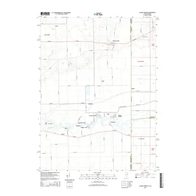 2015 Illiana Heights2015 Print · USGSCovers Illiana Heights, including Grant Park, Shadow Lawn, and other nearby areas
 - 2018 Map of Illiana Heights, 2018 Print
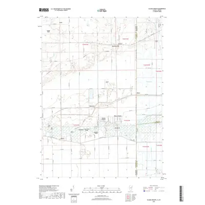 2018 Illiana Heights2018 Print · USGSCovers Illiana Heights, including Grant Park, Shadow Lawn, and other nearby areas
 - 2021 Map of Illiana Heights, 2021 Print
 2021 Illiana Heights2021 Print · USGSCovers Illiana Heights, including Grant Park, Shadow Lawn, and other nearby areas
 - 2024 Map of Illiana Heights, 2024 Print
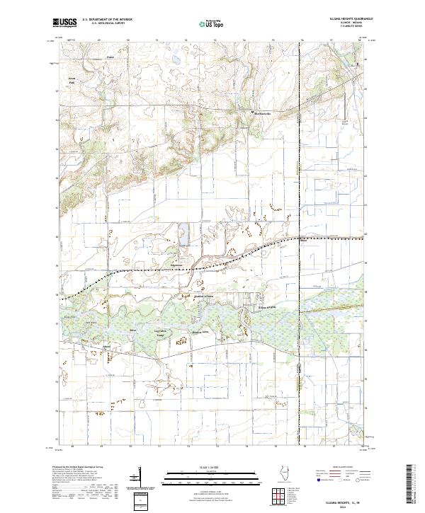 2024 Illiana Heights2024 Print · USGSThe Illinois-Indiana borderlands come into focus in this contemporary survey of the rural corridor between Kankakee and Lake counties. Researchers can trace the riverfront clusters of Illiana Heights and Garden of Eden or locate local landmarks like Sherburnville Cem and the Lowell Airport.
End of results
Showing maps 1-6 of 6
Top cities near Illiana Heights
- Crown Point historical maps
- Cedar Lake historical maps
- Lowell historical maps
- Crete historical maps
- Beecher historical maps
- Momence historical maps
See more
Frequently asked questions
- What are the different types of historical maps available for Illiana Heights?
- What is the oldest map of Illiana Heights?
- Where can I purchase historical maps of Illiana Heights for my home or office?
- Where can I download high-res historical maps of Illiana Heights?
- Are there historical topographic maps available for Illiana Heights?
- Is there historical aerial imagery available for Illiana Heights?
- Where are historical maps of Illiana Heights sourced from?