Old Maps of Kankakee, Illinois for Academic Research
Study the evolution of Kankakee with 30 high-resolution historic maps. Whether you're teaching, researching, or modeling changes in land use, these maps provide essential visual documentation of urban, environmental, and geographic change.
- Analyze long-term change: Track patterns in development, transportation, and natural features.
- Ideal for environmental or urban studies: Support academic projects with primary historical map data.
- Use in the classroom or lab: Educators and researchers rely on these maps to bring historical context to life.
These maps are a powerful tool for teaching, research, and visualizing how Kankakee has changed over the decades.
Kankakee, IL maps
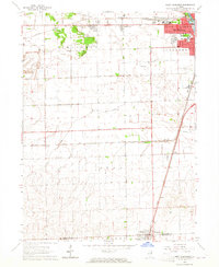
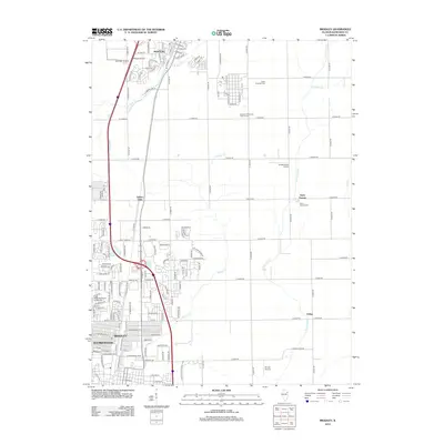
(30)- 1922 Map of Kankakee, 1959 Print
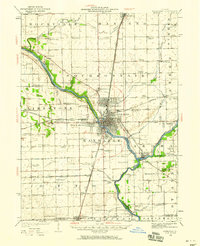 1922 Kankakee1959 Print · USGSThe Kankakee valley thrived in the early 1920s as a major crossroads of electric interurbans and transcontinental railroads. Researchers can trace the footprints of numerous rural schoolhouses, the East Illinois Hospital grounds, and historic routes like the Egyptian Trail.2 unique versions available
 - 1924 Map of Kankakee
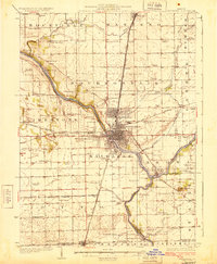 1924 Kankakee1924 Print · USGSThe Kankakee riverfront and its surrounding townships thrived in the early 1920s as a major hub for both industry and electric transit. Researchers can trace dozens of rural schoolhouses and vanished rail stops, from Altdorf School to the Illinois Electric Interurban station at Tucker.2 unique versions available
 - 1953 Map of Chicago, 1964 Print
 1953 Chicago1964 Print · USGSThe southern Lake Michigan shoreline was rapidly modernizing in the mid-fifties, balancing heavy industry with its famous academic centers. Researchers can trace the footprints of Notre Dame University or locate vanished sites like the Kingsbury Ordnance Plant and Meigs Field.5 unique versions available
 - 1957 Map of Chicago
 1957 Chicago1957 Print · USGSThe industrial heartland and southern Great Lakes shoreline are captured here during the peak of mid-century growth. Researchers can trace the massive Gary Steel Works, the grounds of the University of Notre Dame, and the early paths of the Tri-State Tollway.
 - 1963 Map of Bourbonnais, 1965 Print
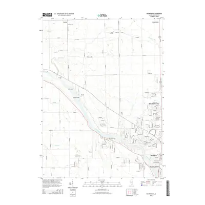
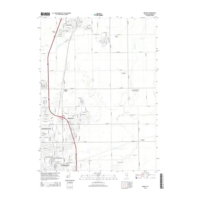
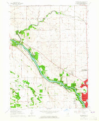 1963 Bourbonnais1965 Print · USGSBourbonnais and its neighbors were expanding along the Kankakee River during the early sixties. Genealogists and historians can trace old rural centers like Altorf and Deselm, locate the Maternity Cem, or find the former Limestone Sch.3 unique versions available
 - 1964 Map of Bradley, 1965 Print
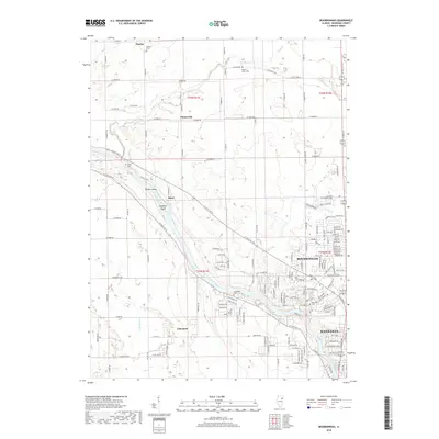
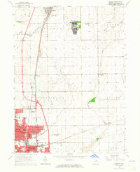 1964 Bradley1965 Print · USGSKankakee County's industrial and institutional landscape is captured here in the mid-sixties as the suburbs of Bradley and Bourbonnais expand. Genealogists and historians can trace the footprint of the Manteno State Hospital, Olivet College, and the rail lines of the Illinois Central.3 unique versions available
 - 1964 Map of West Kankakee, 1965 Print
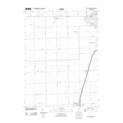
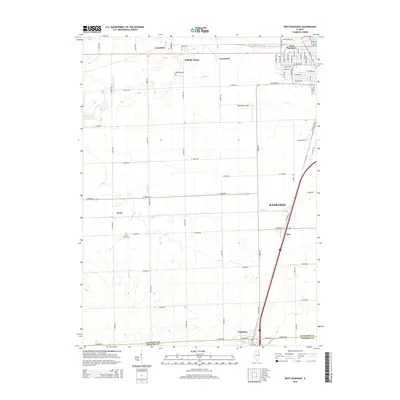
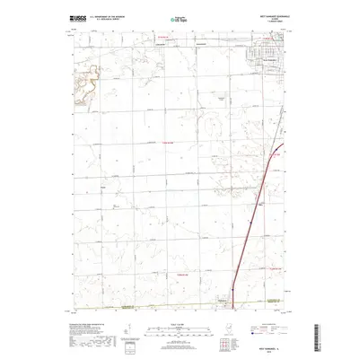
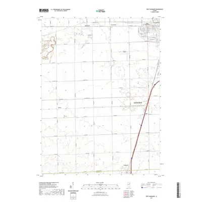
 1964 West Kankakee1965 Print · USGSThe Kankakee outskirts and surrounding townships are shown here during the mid-sixties as the region's rail and aviation hubs expanded. Researchers can trace the Illinois Central line through Chebanse, find St James Cem, or locate the Kankakee Airport.3 unique versions available
 - 1964 Map of Kankakee, 1965 Print
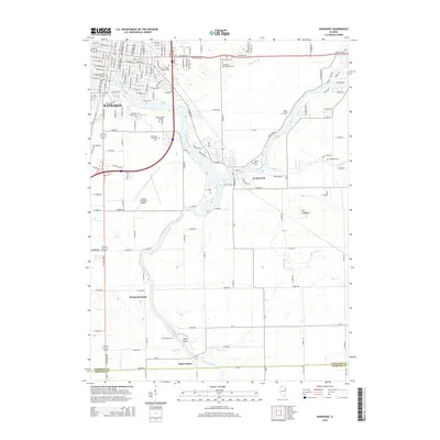
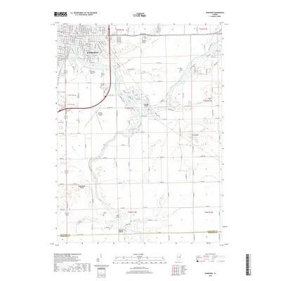
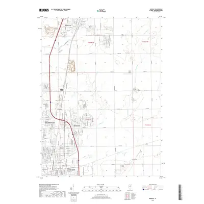
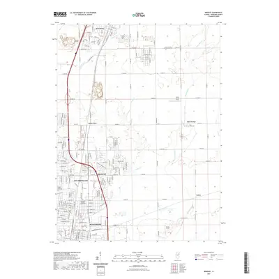
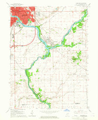 1964 Kankakee1965 Print · USGSKankakee and its riverfront neighborhoods come to life in this mid-century survey as the city expanded southward toward Aroma Park. Genealogists and historians can trace the grounds of the Kankakee State Hospital, the New York Central rail corridor, and local landmarks like Mt Langham.2 unique versions available
 - 1984 Map of Kankakee, 1985 Print
 1984 Kankakee1985 Print · USGSThe Illinois-Indiana borderlands appear here in the early eighties as a landscape of river-centered towns and vast managed wetlands. Genealogists and local historians can trace the grounds of the Kankakee State Hospital, the campus of Olivet Nazarene College, and the sprawling Beaver Lake Wildlife Refuge.
 - 1991 Map of Kankakee
 1991 Kankakee1991 Print · USGSThe Illinois-Indiana borderlands come into focus during the early nineties, centered on the growing Kankakee valley and its sprawling drainage systems. Trace the rail-and-river economy through landmarks like the Wilton Railroad Grade, the Manteno State Hospital, and the historic Old Pioneer Cem.
 - 2012 Map of Bourbonnais, 2012 Print
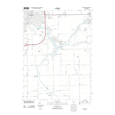
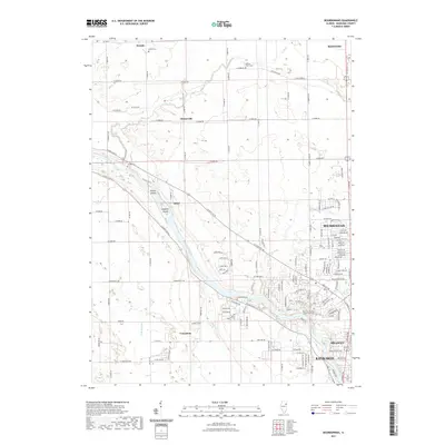
 2012 Bourbonnais2012 Print · USGSCovers Kankakee, including Bourbonnais, Bradley, and other nearby areas
 - 2012 Map of Kankakee, 2012 Print
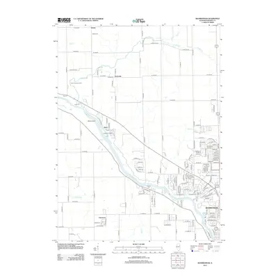
 2012 Kankakee2012 Print · USGSCovers Kankakee, including Aroma Park, Sammons Point, and other nearby areas
 - 2012 Map of Bradley, 2012 Print
 2012 Bradley2012 Print · USGSCovers Kankakee, including Bourbonnais, Bradley, and other nearby areas
 - 2012 Map of West Kankakee, 2012 Print
 2012 West Kankakee2012 Print · USGSCovers Kankakee, including Chebanse, Irwin, and other nearby areas
 - 2015 Map of Kankakee, 2015 Print
 2015 Kankakee2015 Print · USGSCovers Kankakee, including Aroma Park, Sammons Point, and other nearby areas
 - 2015 Map of Bourbonnais, 2015 Print
 2015 Bourbonnais2015 Print · USGSCovers Kankakee, including Bourbonnais, Bradley, and other nearby areas
 - 2015 Map of West Kankakee, 2015 Print
 2015 West Kankakee2015 Print · USGSCovers Kankakee, including Chebanse, Irwin, and other nearby areas
 - 2015 Map of Bradley, 2015 Print
 2015 Bradley2015 Print · USGSCovers Kankakee, including Bourbonnais, Bradley, and other nearby areas
 - 2018 Map of Kankakee, 2018 Print
 2018 Kankakee2018 Print · USGSCovers Kankakee, including Aroma Park, Sammons Point, and other nearby areas
 - 2018 Map of Bourbonnais, 2018 Print
 2018 Bourbonnais2018 Print · USGSCovers Kankakee, including Bourbonnais, Bradley, and other nearby areas
 - 2018 Map of Bradley, 2018 Print
 2018 Bradley2018 Print · USGSCovers Kankakee, including Bourbonnais, Bradley, and other nearby areas
 - 2018 Map of West Kankakee, 2018 Print
 2018 West Kankakee2018 Print · USGSCovers Kankakee, including Chebanse, Irwin, and other nearby areas
 - 2021 Map of Bradley, 2021 Print
 2021 Bradley2021 Print · USGSCovers Kankakee, including Bourbonnais, Bradley, and other nearby areas
 - 2021 Map of West Kankakee, 2021 Print
 2021 West Kankakee2021 Print · USGSCovers Kankakee, including Chebanse, Irwin, and other nearby areas
 - 2021 Map of Bourbonnais, 2021 Print
 2021 Bourbonnais2021 Print · USGSCovers Kankakee, including Bourbonnais, Bradley, and other nearby areas
Showing maps 1-25 of 30
Top cities near Kankakee
- Bourbonnais historical maps
- Bradley historical maps
- Manteno historical maps
- Wilmington historical maps
- Peotone historical maps
- Momence historical maps
See more
Frequently asked questions
- What are the different types of historical maps available for Kankakee?
- What is the oldest map of Kankakee?
- Where can I purchase historical maps of Kankakee for my home or office?
- Where can I download high-res historical maps of Kankakee?
- Are there historical topographic maps available for Kankakee?
- Is there historical aerial imagery available for Kankakee?
- Where are historical maps of Kankakee sourced from?