2000s (21st Century) Maps of Manteno, Illinois
Explore 20 historic maps of Manteno from the 2000s (21st Century). These maps offer a rare glimpse into what life looked like during the 2000s — showing old roads, neighborhoods, homes, and landmarks that have changed or disappeared over time.
Whether you're researching your family's past, planning a metal detecting trip, or studying how Manteno's landscape evolved across the 2000s, these high-resolution maps are a powerful tool for exploring the history of this region.
- Focus on a specific era: All maps on this page are from the 2000s, giving you a focused view of this time period.
- See what’s changed: Compare century-old streets, trails, and buildings to today's modern landscape using overlays and satellite layers.
- Research with precision: Use these maps for genealogy, historical research, land use analysis, or educational projects.
- View, download, or print: Maps are fully viewable online in high resolution, and can be downloaded or printed for your own records.
Start exploring Manteno's history through authentic maps from the 2000s. This is your window into the past.
Manteno, IL maps
(20)- 2012 Map of Bourbonnais, 2012 Print
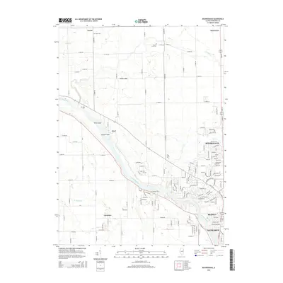
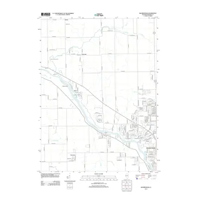 2012 Bourbonnais2012 Print · USGSCovers Manteno, including Kankakee, Bourbonnais, and other nearby areas
 - 2012 Map of Peotone, 2012 Print
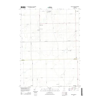
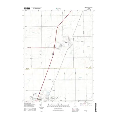
 2012 Peotone2012 Print · USGSCovers Manteno, including Peotone, Kankakee County, and other nearby areas
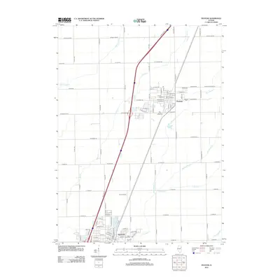
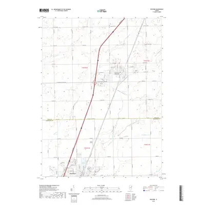
 - 2012 Map of Bradley, 2012 Print
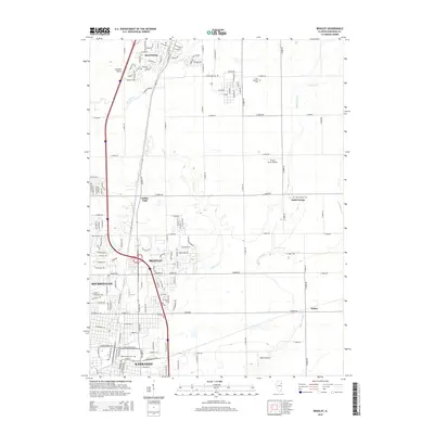
 2012 Bradley2012 Print · USGSCovers Manteno, including Kankakee, Bourbonnais, and other nearby areas
 - 2012 Map of Wilton Center, 2012 Print
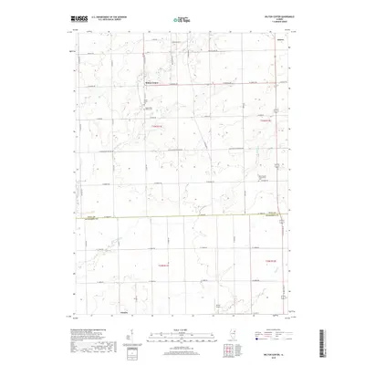
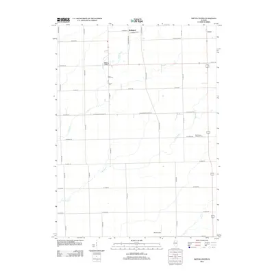 2012 Wilton Center2012 Print · USGSCovers Manteno, including Andres, Wallingford, and other nearby areas
 - 2015 Map of Wilton Center, 2015 Print
 2015 Wilton Center2015 Print · USGSCovers Manteno, including Andres, Wallingford, and other nearby areas
 - 2015 Map of Bourbonnais, 2015 Print
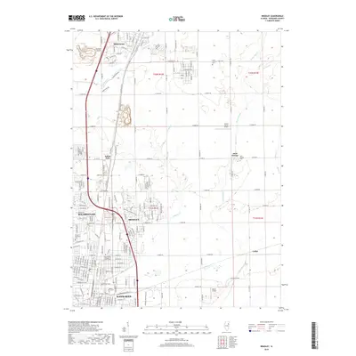
 2015 Bourbonnais2015 Print · USGSCovers Manteno, including Kankakee, Bourbonnais, and other nearby areas
 - 2015 Map of Peotone, 2015 Print
 2015 Peotone2015 Print · USGSCovers Manteno, including Peotone, Kankakee County, and other nearby areas
 - 2015 Map of Bradley, 2015 Print
 2015 Bradley2015 Print · USGSCovers Manteno, including Kankakee, Bourbonnais, and other nearby areas
 - 2018 Map of Bourbonnais, 2018 Print
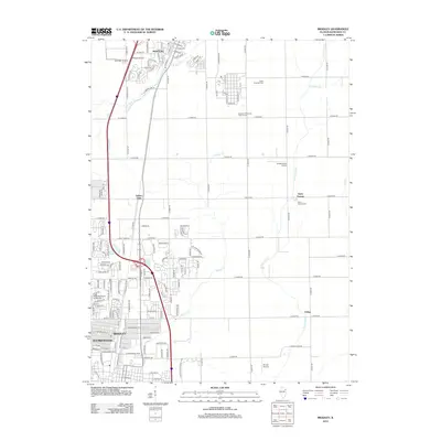
 2018 Bourbonnais2018 Print · USGSCovers Manteno, including Kankakee, Bourbonnais, and other nearby areas
 - 2018 Map of Peotone, 2018 Print
 2018 Peotone2018 Print · USGSCovers Manteno, including Peotone, Kankakee County, and other nearby areas
 - 2018 Map of Bradley, 2018 Print
 2018 Bradley2018 Print · USGSCovers Manteno, including Kankakee, Bourbonnais, and other nearby areas
 - 2018 Map of Wilton Center, 2018 Print
 2018 Wilton Center2018 Print · USGSCovers Manteno, including Andres, Wallingford, and other nearby areas
 - 2021 Map of Peotone, 2021 Print
 2021 Peotone2021 Print · USGSCovers Manteno, including Peotone, Kankakee County, and other nearby areas
 - 2021 Map of Bradley, 2021 Print
 2021 Bradley2021 Print · USGSCovers Manteno, including Kankakee, Bourbonnais, and other nearby areas
 - 2021 Map of Bourbonnais, 2021 Print
 2021 Bourbonnais2021 Print · USGSCovers Manteno, including Kankakee, Bourbonnais, and other nearby areas
 - 2021 Map of Wilton Center, 2021 Print
 2021 Wilton Center2021 Print · USGSCovers Manteno, including Andres, Wallingford, and other nearby areas
 - 2024 Map of Wilton Center, 2024 Print
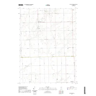
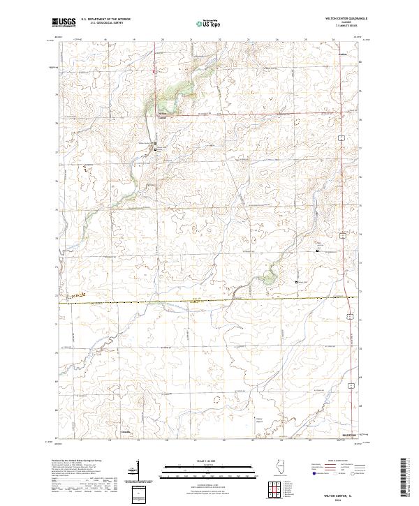 2024 Wilton Center2024 Print · USGSWill and Kankakee counties appear here in their modern rural character, defined by small crossroads settlements and quiet creeks. Researchers can trace family history at sites like Mount Saint Patrick Cem or locate the small communities of Andres and Deselm.
 - 2024 Map of Peotone, 2024 Print
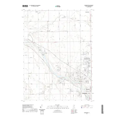
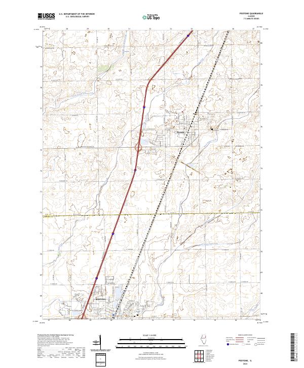 2024 Peotone2024 Print · USGSPeotone and Manteno appear here in the early 2020s, showing the settled prairie at the Will and Kankakee county line. Researchers can trace local heritage at Peotone Cemetery or follow the waters of Rock Creek and Marshall Slough across the grid.
 - 2024 Map of Bourbonnais, 2024 Print
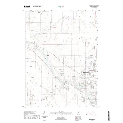
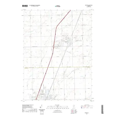
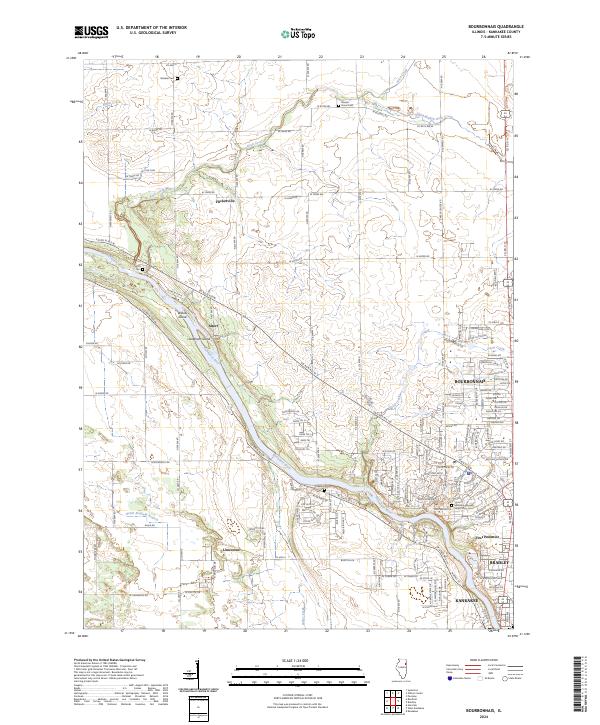 2024 Bourbonnais2024 Print · USGSBourbonnais and Bradley are seen here in the mid-2020s as they flank the wide Kankakee River. Researchers can trace old family names and local history at the Maternity Blessed Virgin Mary Cem or locate the quiet crossroads of Altorf and Flickerville.
 - 2024 Map of Bradley, 2024 Print
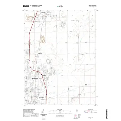
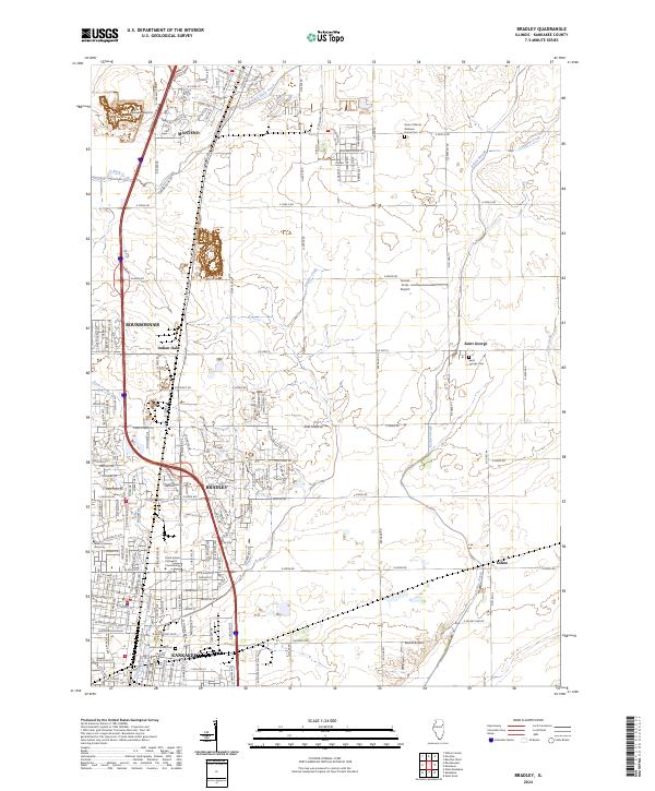 2024 Bradley2024 Print · USGSThe Kankakee and Bradley area is shown here in its modern 2020s configuration, where urban expansion meets the Illinois prairie. Researchers can trace the boundaries of Olivet Nazarene University and locate local landmarks like Mound Grove Cem or Saint George.
End of results
Showing maps 1-20 of 20
Top cities near Manteno
- Joliet historical maps
- Kankakee historical maps
- New Lenox historical maps
- Park Forest historical maps
- Frankfort historical maps
- Bourbonnais historical maps
See more
Frequently asked questions
- What are the different types of historical maps available for Manteno?
- What is the oldest map of Manteno?
- Where can I purchase historical maps of Manteno for my home or office?
- Where can I download high-res historical maps of Manteno?
- Are there historical topographic maps available for Manteno?
- Is there historical aerial imagery available for Manteno?
- Where are historical maps of Manteno sourced from?