Old Maps of Sherburnville, Illinois for Genealogy
Trace your family roots with 14 historic maps of Sherburnville. These high-res maps reveal old neighborhoods, homesites, landmarks, and streets — helping you uncover where your ancestors lived and how the area evolved over time.
- Explore historic neighborhoods: Identify where your relatives may have lived in the 1800s or 1900s.
- Compare maps over time: Trace the changes in streets, buildings, and landmarks for multi-generational research.
- Perfect for genealogy & ancestry research: Used by family historians and researchers to map out lineage and migration.
These maps are an incredible resource for exploring your personal connection to Sherburnville's past.
Sherburnville, IL maps
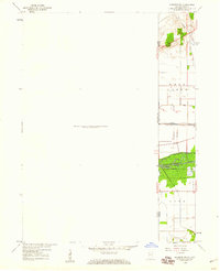
(14)- 1922 Map of Momence, 1958 Print
 1922 Momence1958 Print · USGSThe Kankakee River valley in the early twenties is a landscape of river islands and busy rail junctions. Genealogists and historians can locate dozens of country schools like Frogtown School and Searls School or trace the Illinois-Indiana border at Illinoi.
 - 1924 Map of Momence
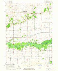
 1924 Momence1924 Print · USGSEastern Illinois and the Indiana borderlands are captured here during the 1920s, showing a landscape defined by the Kankakee River and a web of rail lines. Researchers can trace dozens of legacy district schools like Frogtown School and locate family landmarks in Momence, St Anne, and Grant Park.2 unique versions available
 - 1953 Map of Chicago, 1964 Print
 1953 Chicago1964 Print · USGSThe southern Lake Michigan shoreline was rapidly modernizing in the mid-fifties, balancing heavy industry with its famous academic centers. Researchers can trace the footprints of Notre Dame University or locate vanished sites like the Kingsbury Ordnance Plant and Meigs Field.5 unique versions available
 - 1957 Map of Chicago
 1957 Chicago1957 Print · USGSThe industrial heartland and southern Great Lakes shoreline are captured here during the peak of mid-century growth. Researchers can trace the massive Gary Steel Works, the grounds of the University of Notre Dame, and the early paths of the Tri-State Tollway.
 - 1959 Map of Momence NE, 1960 Print
 1959 Momence NE1960 Print · USGSThe Illinois-Indiana borderlands appear in the late fifties as a landscape defined by industrial rail and massive drainage projects. Genealogists and historians can trace the New York Central line and search for family roots at West Creek Cem near the banks of West Creek.
 - 1963 Map of Illiana Heights, 1965 Print
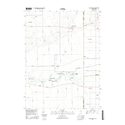
 1963 Illiana Heights1965 Print · USGSThe Illinois-Indiana state line comes alive in the early sixties as riverfront life and rail junctions define the Kankakee valley. Genealogists and historians can trace riverside settlements like Garden of Eden, search for family roots at West Creek Cem, or follow the path of the NEW YORK CENTRAL railroad.3 unique versions available
 - 1984 Map of Kankakee, 1985 Print
 1984 Kankakee1985 Print · USGSThe Illinois-Indiana borderlands appear here in the early eighties as a landscape of river-centered towns and vast managed wetlands. Genealogists and local historians can trace the grounds of the Kankakee State Hospital, the campus of Olivet Nazarene College, and the sprawling Beaver Lake Wildlife Refuge.
 - 1991 Map of Kankakee
 1991 Kankakee1991 Print · USGSThe Illinois-Indiana borderlands come into focus during the early nineties, centered on the growing Kankakee valley and its sprawling drainage systems. Trace the rail-and-river economy through landmarks like the Wilton Railroad Grade, the Manteno State Hospital, and the historic Old Pioneer Cem.
 - 2010 Map of Illiana Heights, 2010 Print
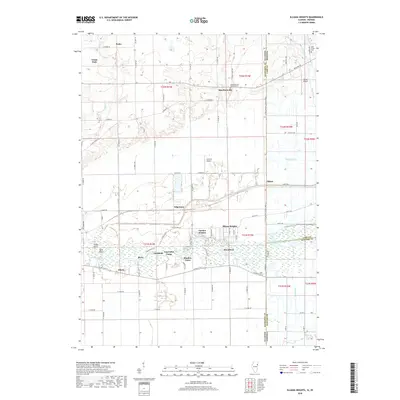
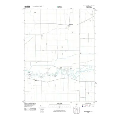 2010 Illiana Heights2010 Print · USGSCovers Sherburnville, including Grant Park, Shadow Lawn, and other nearby areas
 - 2012 Map of Illiana Heights, 2012 Print
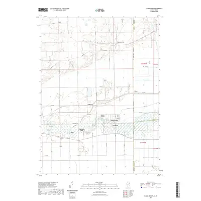
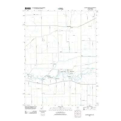 2012 Illiana Heights2012 Print · USGSCovers Sherburnville, including Grant Park, Shadow Lawn, and other nearby areas
 - 2015 Map of Illiana Heights, 2015 Print
 2015 Illiana Heights2015 Print · USGSCovers Sherburnville, including Grant Park, Shadow Lawn, and other nearby areas
 - 2018 Map of Illiana Heights, 2018 Print
 2018 Illiana Heights2018 Print · USGSCovers Sherburnville, including Grant Park, Shadow Lawn, and other nearby areas
 - 2021 Map of Illiana Heights, 2021 Print
 2021 Illiana Heights2021 Print · USGSCovers Sherburnville, including Grant Park, Shadow Lawn, and other nearby areas
 - 2024 Map of Illiana Heights, 2024 Print
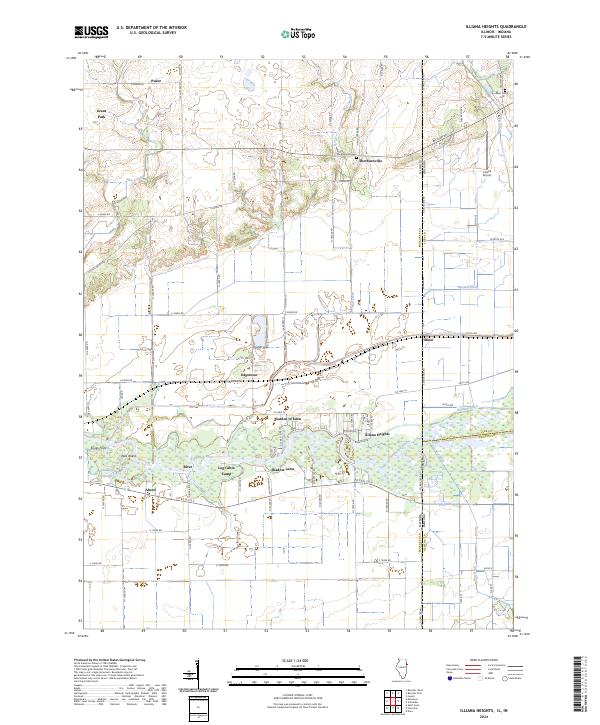 2024 Illiana Heights2024 Print · USGSThe Illinois-Indiana borderlands come into focus in this contemporary survey of the rural corridor between Kankakee and Lake counties. Researchers can trace the riverfront clusters of Illiana Heights and Garden of Eden or locate local landmarks like Sherburnville Cem and the Lowell Airport.
End of results
Showing maps 1-14 of 14
Top cities near Sherburnville
- Merrillville historical maps
- Schererville historical maps
- Crown Point historical maps
- Park Forest historical maps
- Frankfort historical maps
- Cedar Lake historical maps
See more
Frequently asked questions
- What are the different types of historical maps available for Sherburnville?
- What is the oldest map of Sherburnville?
- Where can I purchase historical maps of Sherburnville for my home or office?
- Where can I download high-res historical maps of Sherburnville?
- Are there historical topographic maps available for Sherburnville?
- Is there historical aerial imagery available for Sherburnville?
- Where are historical maps of Sherburnville sourced from?