2000s (21st Century) Maps of Keyesport, Illinois
Explore 10 historic maps of Keyesport from the 2000s (21st Century). These maps offer a rare glimpse into what life looked like during the 2000s — showing old roads, neighborhoods, homes, and landmarks that have changed or disappeared over time.
Whether you're researching your family's past, planning a metal detecting trip, or studying how Keyesport's landscape evolved across the 2000s, these high-resolution maps are a powerful tool for exploring the history of this region.
- Focus on a specific era: All maps on this page are from the 2000s, giving you a focused view of this time period.
- See what’s changed: Compare century-old streets, trails, and buildings to today's modern landscape using overlays and satellite layers.
- Research with precision: Use these maps for genealogy, historical research, land use analysis, or educational projects.
- View, download, or print: Maps are fully viewable online in high resolution, and can be downloaded or printed for your own records.
Start exploring Keyesport's history through authentic maps from the 2000s. This is your window into the past.
Keyesport, IL maps
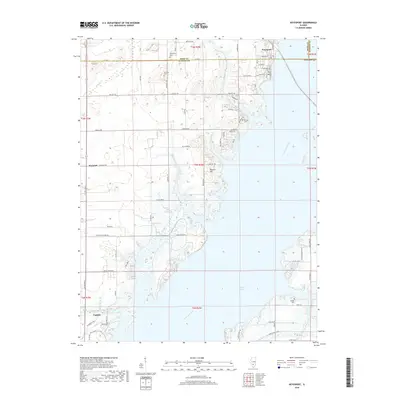
(10)- 2012 Map of Keyesport, 2012 Print
 2012 Keyesport2012 Print · USGSCovers Keyesport, including Carlyle, Harbor Light Bay, and other nearby areas
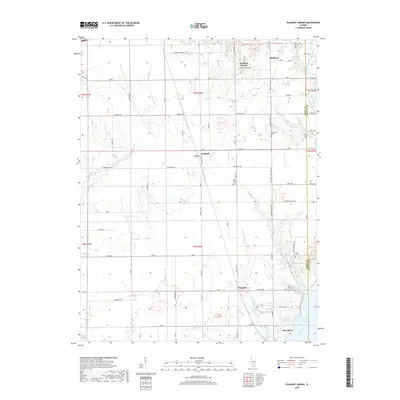
 - 2012 Map of Pleasant Mound, 2012 Print
 2012 Pleasant Mound2012 Print · USGSCovers Keyesport, including Greenville, Pleasant Mound, and other nearby areas
 - 2015 Map of Keyesport, 2015 Print
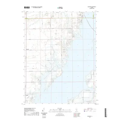
 2015 Keyesport2015 Print · USGSCovers Keyesport, including Carlyle, Harbor Light Bay, and other nearby areas
 - 2015 Map of Pleasant Mound, 2015 Print
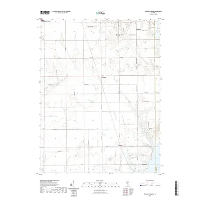
 2015 Pleasant Mound2015 Print · USGSCovers Keyesport, including Greenville, Pleasant Mound, and other nearby areas
 - 2018 Map of Pleasant Mound, 2018 Print
 2018 Pleasant Mound2018 Print · USGSCovers Keyesport, including Greenville, Pleasant Mound, and other nearby areas
 - 2018 Map of Keyesport, 2018 Print
 2018 Keyesport2018 Print · USGSCovers Keyesport, including Carlyle, Harbor Light Bay, and other nearby areas
 - 2021 Map of Keyesport, 2021 Print
 2021 Keyesport2021 Print · USGSCovers Keyesport, including Carlyle, Harbor Light Bay, and other nearby areas
 - 2021 Map of Pleasant Mound, 2021 Print
 2021 Pleasant Mound2021 Print · USGSCovers Keyesport, including Greenville, Pleasant Mound, and other nearby areas
 - 2024 Map of Pleasant Mound, 2024 Print
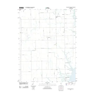
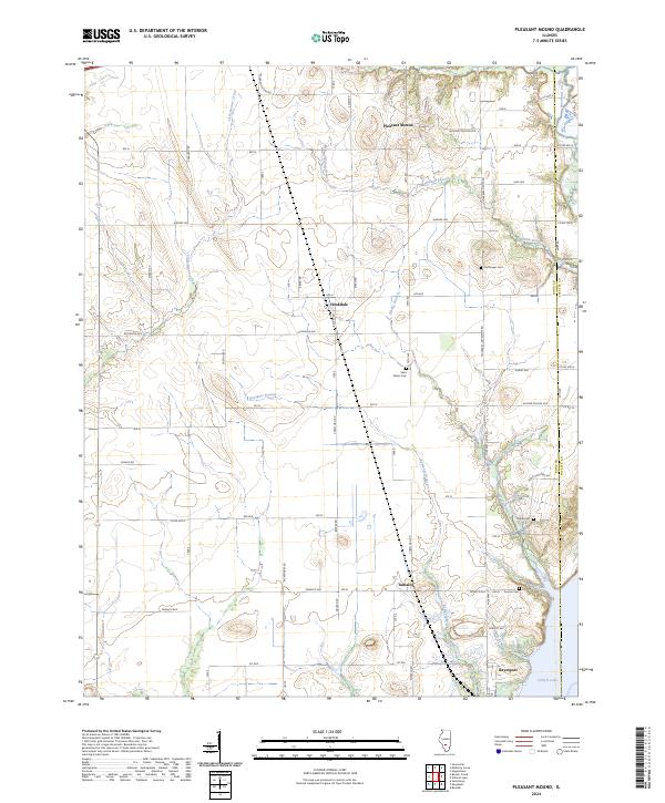 2024 Pleasant Mound2024 Print · USGSBond and Fayette counties are mapped here in the contemporary era as they transition from high prairie farmland to the shores of Carlyle Lake. Genealogists can locate several local burial sites like Noffsinger Cem and Duncan Cem near the town of Tamalco.
 - 2024 Map of Keyesport, 2024 Print
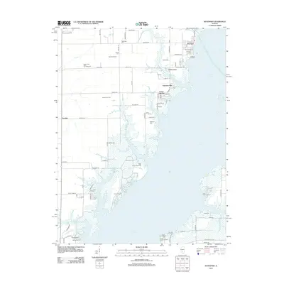
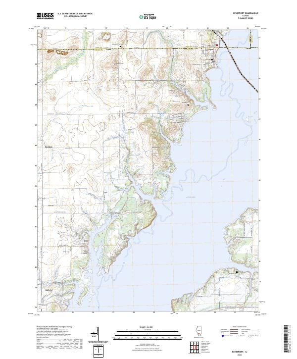 2024 Keyesport2024 Print · USGSThe village of Keyesport and the expansive waters of Carlyle Lake dominate this contemporary look at the Illinois prairie. Researchers can trace family history through numerous local sites including McKendree Cem, Elmwood Cem, and the small settlement of Marydale.
End of results
Showing maps 1-10 of 10
Top cities near Keyesport
- Centralia historical maps
- Greenville historical maps
- Vandalia historical maps
- Breese historical maps
- Carlyle historical maps
- Sandoval historical maps
See more
Top neighborhoods of Keyesport
Frequently asked questions
- What are the different types of historical maps available for Keyesport?
- What is the oldest map of Keyesport?
- Where can I purchase historical maps of Keyesport for my home or office?
- Where can I download high-res historical maps of Keyesport?
- Are there historical topographic maps available for Keyesport?
- Is there historical aerial imagery available for Keyesport?
- Where are historical maps of Keyesport sourced from?