2000s (21st Century) Maps of Zion, Illinois
Explore 10 historic maps of Zion from the 2000s (21st Century). These maps offer a rare glimpse into what life looked like during the 2000s — showing old roads, neighborhoods, homes, and landmarks that have changed or disappeared over time.
Whether you're researching your family's past, planning a metal detecting trip, or studying how Zion's landscape evolved across the 2000s, these high-resolution maps are a powerful tool for exploring the history of this region.
- Focus on a specific era: All maps on this page are from the 2000s, giving you a focused view of this time period.
- See what’s changed: Compare century-old streets, trails, and buildings to today's modern landscape using overlays and satellite layers.
- Research with precision: Use these maps for genealogy, historical research, land use analysis, or educational projects.
- View, download, or print: Maps are fully viewable online in high resolution, and can be downloaded or printed for your own records.
Start exploring Zion's history through authentic maps from the 2000s. This is your window into the past.
Zion, IL maps
(10)- 2012 Map of Wadsworth, 2012 Print
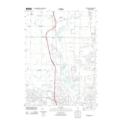 2012 Wadsworth2012 Print · USGSCovers Zion, including Waukegan, Gurnee, and other nearby areas
 - 2012 Map of Zion, 2012 Print
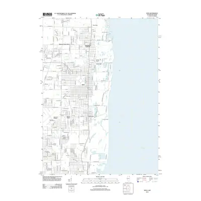 2012 Zion2012 Print · USGSCovers Zion, including Waukegan, Pleasant Prairie, and other nearby areas
 - 2015 Map of Zion, 2015 Print
 2015 Zion2015 Print · USGSCovers Zion, including Waukegan, Pleasant Prairie, and other nearby areas
 - 2015 Map of Wadsworth, 2015 Print
 2015 Wadsworth2015 Print · USGSCovers Zion, including Waukegan, Gurnee, and other nearby areas
 - 2018 Map of Zion, 2018 Print
 2018 Zion2018 Print · USGSCovers Zion, including Waukegan, Pleasant Prairie, and other nearby areas
 - 2018 Map of Wadsworth, 2018 Print
 2018 Wadsworth2018 Print · USGSCovers Zion, including Waukegan, Gurnee, and other nearby areas
 - 2021 Map of Wadsworth, 2021 Print
 2021 Wadsworth2021 Print · USGSCovers Zion, including Waukegan, Gurnee, and other nearby areas
 - 2021 Map of Zion, 2021 Print
 2021 Zion2021 Print · USGSCovers Zion, including Waukegan, Pleasant Prairie, and other nearby areas
 - 2024 Map of Wadsworth, 2024 Print
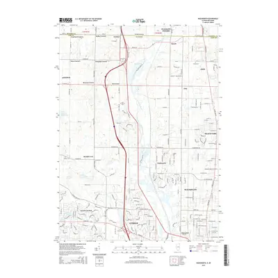
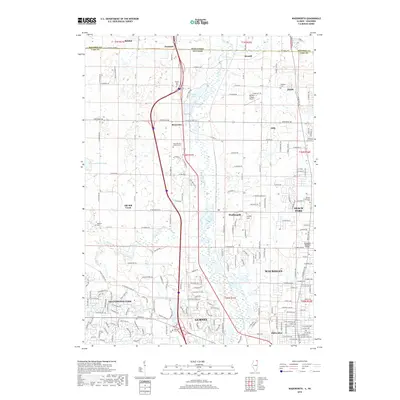
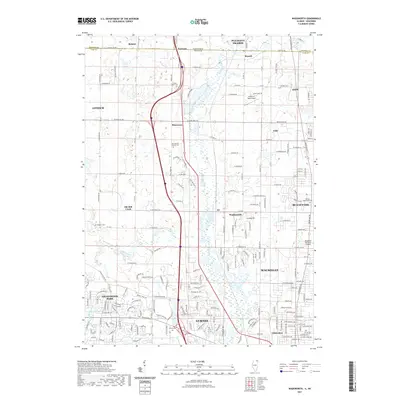
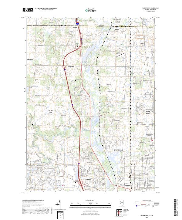 2024 Wadsworth2024 Print · USGSLake County and the Illinois-Wisconsin border are captured here in a period of significant suburban development. Researchers can trace local heritage through numerous cemeteries like Mount Rest Cem and Oakdale Cem or locate the Des Plaines River corridor.
 - 2024 Map of Zion, 2024 Print
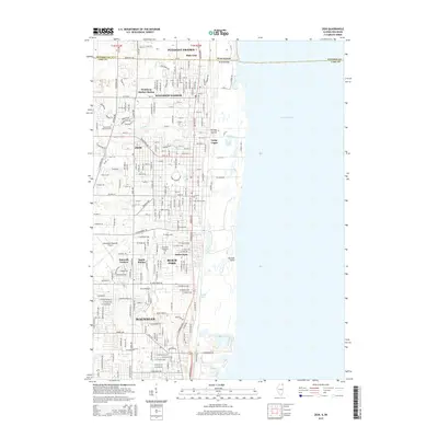
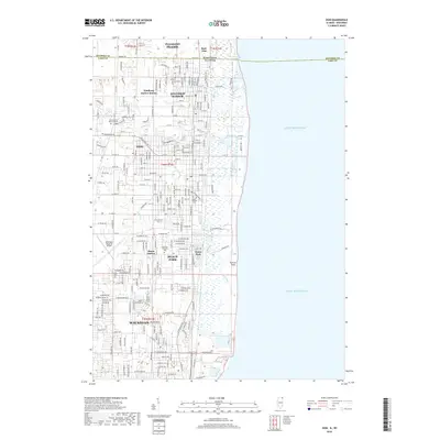
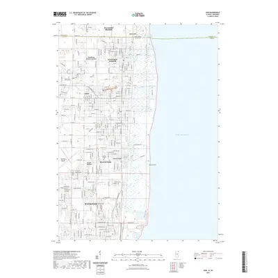
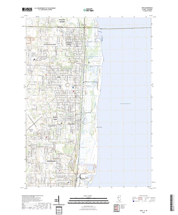 2024 Zion2024 Print · USGSThe Lake Michigan shoreline at the Illinois-Wisconsin border is captured here in the early twenty-first century. Researchers can trace the developed grid of Zion and Winthrop Harbor alongside coastal landmarks like Farnum Point and Dead Lake.
End of results
Showing maps 1-10 of 10
Top cities near Zion
- Kenosha historical maps
- Waukegan historical maps
- Racine historical maps
- Mundelein historical maps
- North Chicago historical maps
- Gurnee historical maps
See more
Top neighborhoods of Zion
- Countrywood Acres historical maps
- Brighton Ponds historical maps
- Harbor Ridge historical maps
- Horizon Village historical maps
- Westside Hills historical maps
- Lorelei Acres historical maps
See more
Frequently asked questions
- What are the different types of historical maps available for Zion?
- What is the oldest map of Zion?
- Where can I purchase historical maps of Zion for my home or office?
- Where can I download high-res historical maps of Zion?
- Are there historical topographic maps available for Zion?
- Is there historical aerial imagery available for Zion?
- Where are historical maps of Zion sourced from?