2020s Maps of North Utica, Illinois
Explore 8 historic maps of North Utica from the 2020s. These maps offer a rare glimpse into what life looked like during the 2020s — showing old roads, neighborhoods, homes, and landmarks that have changed or disappeared over time.
Whether you're researching your family's past, planning a metal detecting trip, or studying how North Utica's landscape evolved across the 2020s, these high-resolution maps are a powerful tool for exploring the history of this region.
- Focus on a specific era: All maps on this page are from the 2020s, giving you a focused view of this time period.
- See what’s changed: Compare century-old streets, trails, and buildings to today's modern landscape using overlays and satellite layers.
- Research with precision: Use these maps for genealogy, historical research, land use analysis, or educational projects.
- View, download, or print: Maps are fully viewable online in high resolution, and can be downloaded or printed for your own records.
Start exploring North Utica's history through authentic maps from the 2020s. This is your window into the past.
North Utica, IL maps
(8)- 2021 Map of Prairie Center, 2021 Print
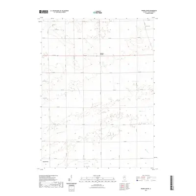 2021 Prairie Center2021 Print · USGSCovers North Utica, including Prairie Center, LaSalle County, and other nearby areas
 - 2021 Map of Troy Grove, 2021 Print
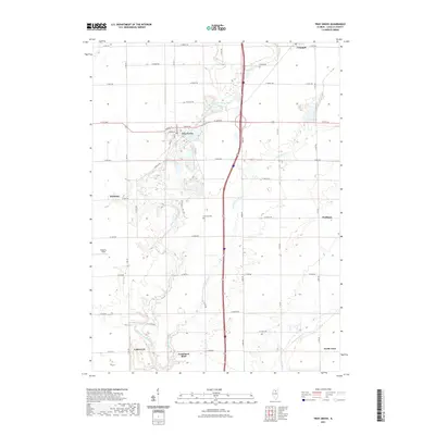 2021 Troy Grove2021 Print · USGSCovers North Utica, including LaSalle, Dimmick, and other nearby areas
 - 2021 Map of La Salle, 2021 Print
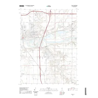 2021 La Salle2021 Print · USGSCovers North Utica, including Peru, LaSalle, and other nearby areas
 - 2021 Map of Starved Rock, 2021 Print
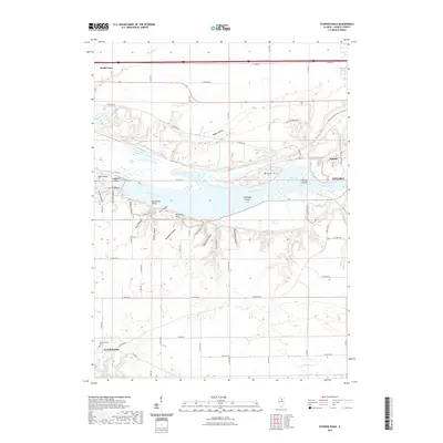 2021 Starved Rock2021 Print · USGSCovers North Utica, including Naplate, Ottawa, and other nearby areas
 - 2024 Map of Starved Rock, 2024 Print
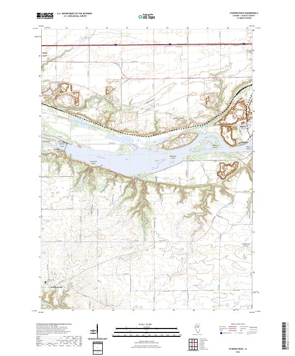 2024 Starved Rock2024 Print · USGSThe Illinois River valley in modern-day LaSalle County reveals a landscape of deep sandstone ravines and historic settlements. Researchers can trace the rugged topography of French Canyon or locate family sites near Vermilionville and the Vermillionville Cem.
 - 2024 Map of Prairie Center, 2024 Print
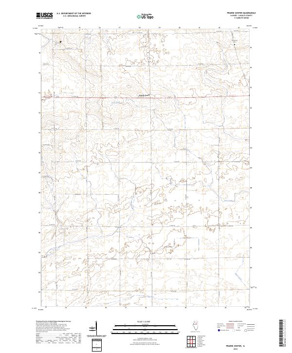 2024 Prairie Center2024 Print · USGSLaSalle County agriculture and rural life define this Illinois landscape in the early twenty-first century. Researchers can trace family ties at Davis Cem and Gouldtown Cem or follow the paths of Buck Creek and Pecumsaugan Creek across the prairie.
 - 2024 Map of La Salle, 2024 Print
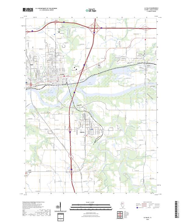 2024 La Salle2024 Print · USGSThe industrial and river valley corridor of LaSalle County comes into focus in this contemporary survey. Trace family history at Saint Hyacinth Cem or Rockwell Cem, and explore the terrain around Saint Louis Canyon and the Illinois River.
 - 2024 Map of Troy Grove, 2024 Print
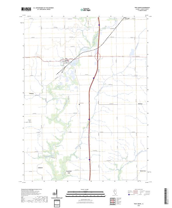 2024 Troy Grove2024 Print · USGSLaSalle County's rural heartland is meticulously documented in this mid-2020s study of the prairie landscape. Genealogists and local historians can trace family land and landmarks like Dimmick Cem and the rise of Tomahawk Bluff near Troy Grove.
End of results
Showing maps 1-8 of 8
Top cities near North Utica
- Streator historical maps
- Peru historical maps
- LaSalle historical maps
- La Salle historical maps
- Mendota historical maps
- Spring Valley historical maps
See more
Top neighborhoods of North Utica
Frequently asked questions
- What are the different types of historical maps available for North Utica?
- What is the oldest map of North Utica?
- Where can I purchase historical maps of North Utica for my home or office?
- Where can I download high-res historical maps of North Utica?
- Are there historical topographic maps available for North Utica?
- Is there historical aerial imagery available for North Utica?
- Where are historical maps of North Utica sourced from?