Old Maps of North Utica, Illinois for Academic Research
Study the evolution of North Utica with 38 high-resolution historic maps. Whether you're teaching, researching, or modeling changes in land use, these maps provide essential visual documentation of urban, environmental, and geographic change.
- Analyze long-term change: Track patterns in development, transportation, and natural features.
- Ideal for environmental or urban studies: Support academic projects with primary historical map data.
- Use in the classroom or lab: Educators and researchers rely on these maps to bring historical context to life.
These maps are a powerful tool for teaching, research, and visualizing how North Utica has changed over the decades.
North Utica, IL maps
(38)- 1892 Map of Ottawa
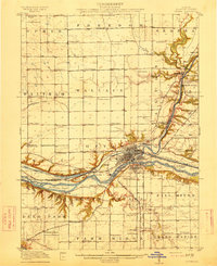
 1892 Ottawa1892 Print · USGSLaSalle County, Illinois, is captured here during the late nineteenth-century transition from canal commerce to a dominant rail network. Trace the path of the Illinois and Michigan Canal and find old settlements like Vermillionville, Wedron, and Dayton.9 unique versions available
 - 1893 Map of Lasalle
 1893 Lasalle1893 Print · USGSThe Illinois River valley was a powerhouse of nineteenth-century industry and transport where the canal era met the railroad boom. Researchers can trace the early street grids of Peru and La Salle or locate vanished stops along the North Western Railway and the Illinois and Michigan Canal.4 unique versions available
 - 1911 Map of La Salle
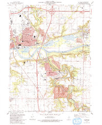
 1911 La Salle1911 Print · USGSThe Illinois River valley thrived as a hub of rail and river commerce in the early twentieth century. Researchers can trace the development of industrial centers like La Salle and Oglesby, or locate vanished post offices and rural landmarks like Standard Taft PO and St Bedes College.
 - 1913 Map of La Salle
 1913 La Salle1913 Print · USGSThe industrial heart of the Illinois River valley thrives in the early twentieth century, showing the intersection of heavy rail and river trade. Genealogists can trace family homes near St Bedes College or find old post offices like Standard Taft PO and rural stops at Hicks Corners.4 unique versions available
 - 1915 Map of Ottawa
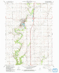
 1915 Ottawa1915 Print · USGSLaSalle County in the early twentieth century centered on the industrial and transit hub of Ottawa at the river's edge. Researchers can trace the path of the Illinois and Michigan Canal or locate local landmarks like Twin Bluffs and Hickory College.7 unique versions available
 - 1946 Map of Ottawa, 1963 Print
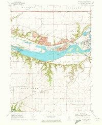
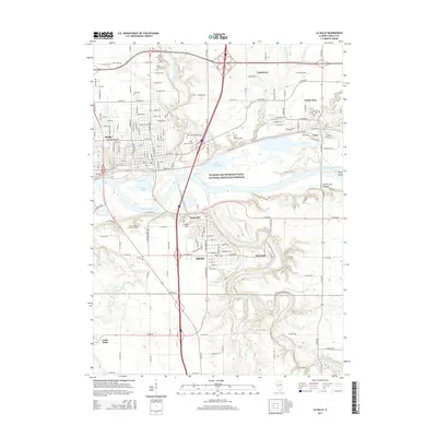
 1946 Ottawa1963 Print · USGSOttawa and the Illinois River valley are shown here just after the war, featuring a landscape of industrial riverfronts and deep sandstone canyons. Researchers can locate dozens of country schools like Hickory College or trace the Illinois and Michigan Canal and Starved Rock State Park.2 unique versions available
 - 1947 Map of La Salle, 1958 Print
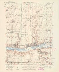 1947 La Salle1958 Print · USGSLa Salle and the Illinois River valley are shown here in the years following the war, as the rail-to-river economy remained in full swing. Local historians can trace the transition from rail to road while locating St Bedes College, Matthiessen Park, and Spring Valley.2 unique versions available
 - 1958 Map of Aurora, 1969 Print
 1958 Aurora1969 Print · USGSNorthern Illinois in the late fifties shows a landscape of powerful river industry and expanding transport corridors. Genealogists and historians can trace the development of Aurora and Joliet or locate sites like the Elwood Ordnance Plant and Starved Rock.3 unique versions available
 - 1961 Map of Aurora
 1961 Aurora1961 Print · USGSNorthern Illinois at the height of the post-war era reveals a landscape of massive industrial works and thriving river towns. Genealogists and historians can trace the paths of the Lincoln Highway or locate long-standing landmarks like the Green River Ordnance Plant and Starved Rock State Park.
 - 1966 Map of Troy Grove, 1968 Print
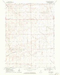
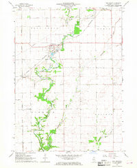 1966 Troy Grove1968 Print · USGSLaSalle County's agricultural heartland is documented here in the mid-1960s, centered on the river valley and rail corridors. Researchers can locate family landmarks like Crain Cem, the Dimmick Sch, and the industrial Sandpits around Troy Grove.2 unique versions available
 - 1966 Map of La Salle, 1968 Print
 1966 La Salle1968 Print · USGSThe industrial corridor of the Illinois and Vermilion Rivers thrived during the 1960s, anchored by the hubs of La Salle and Peru. Genealogists and historians can locate landmarks like St Vincent Cemetery, St Marys Hospital, and the rail networks serving Oglesby and Cedar Point.3 unique versions available
 - 1970 Map of Starved Rock, 1972 Print
 1970 Starved Rock1972 Print · USGSThe Illinois River valley in the early seventies reveals a landscape of deep canyons and heavy industry. Trace the ABANDONED Illinois and Michigan Canal and find landmarks like Buffalo Rock and the Deer Park Ch Cem.3 unique versions available
 - 1970 Map of Prairie Center, 1972 Print
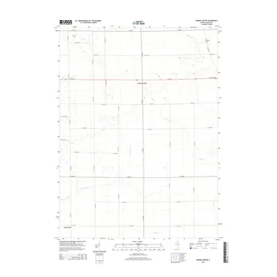
 1970 Prairie Center1972 Print · USGSLaSalle County agriculture and township life are captured here in the early seventies, centered on the crossroads of Prairie Center. Genealogists and local historians can locate early burial sites like Gouldtown Cem and rural schoolhouses such as Waltham Sch.
 - 1985 Map of Ottawa
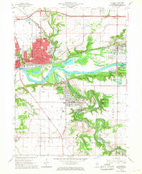
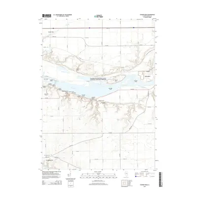
 1985 Ottawa1985 Print · USGSThe Illinois River valley in the mid-1980s shows a landscape balancing river commerce with sprawling energy and mining operations. Researchers can trace the layout of mining towns like Coal City or find family landmarks such as Oakwood Memorial Cem and Smiths Mound.
 - 1985 Map of Kewanee
 1985 Kewanee1985 Print · USGSNorth-central Illinois in the mid-eighties shows a landscape of river-valley industry and prairie transit. Researchers can trace family roots through Evergreen Memory Garden or follow the historic Hennepin Canal past Tiskilwa and Wyanet.2 unique versions available
 - 1991 Map of Ottawa
 1991 Ottawa1991 Print · USGSNorth-central Illinois in the early nineties remains a vital corridor of river commerce and heavy rail. Genealogists and historians can trace the legacy of industrial mining near Morris or explore the river-bluff geography of Starved Rock State Park and Buffalo Rock.
 - 1993 Map of Troy Grove
 1993 Troy Grove1993 Print · USGSLaSalle County agriculture and industry meet along the Vermilion River in the early nineties. Genealogists and historians can trace family locations near Troy Grove, Crain Cem, and the old Ophir Sch or locate the local Quarry and Sandpits.
 - 1993 Map of La Salle
 1993 La Salle1993 Print · USGSThe Illinois River valley and its industrial bluffs are shown in great detail in the early nineties, revealing a landscape shaped by water and transit. Researchers can trace local history through St Hyacinth Cem, the Michigan and Illinois Canal, and the early layout of Oglesby.
 - 2012 Map of Prairie Center, 2012 Print
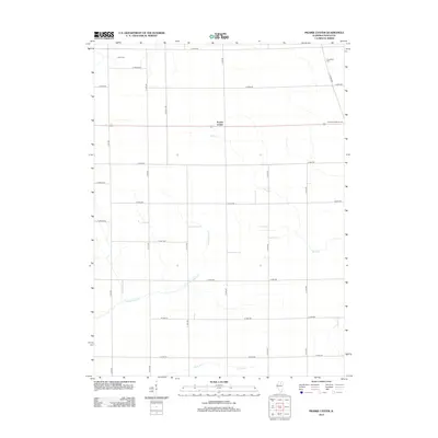 2012 Prairie Center2012 Print · USGSCovers North Utica, including Prairie Center, LaSalle County, and other nearby areas
 - 2012 Map of Starved Rock, 2012 Print
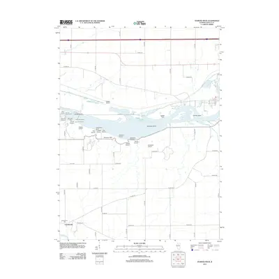 2012 Starved Rock2012 Print · USGSCovers North Utica, including Naplate, Ottawa, and other nearby areas
 - 2012 Map of La Salle, 2012 Print
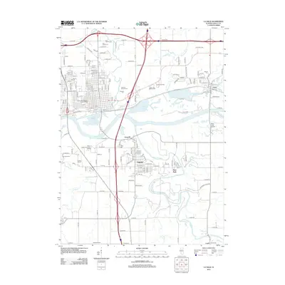 2012 La Salle2012 Print · USGSCovers North Utica, including Peru, LaSalle, and other nearby areas
 - 2012 Map of Troy Grove, 2012 Print
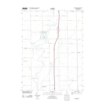 2012 Troy Grove2012 Print · USGSCovers North Utica, including LaSalle, Dimmick, and other nearby areas
 - 2015 Map of Prairie Center, 2015 Print
 2015 Prairie Center2015 Print · USGSCovers North Utica, including Prairie Center, LaSalle County, and other nearby areas
 - 2015 Map of Starved Rock, 2015 Print
 2015 Starved Rock2015 Print · USGSCovers North Utica, including Naplate, Ottawa, and other nearby areas
 - 2015 Map of La Salle, 2015 Print
 2015 La Salle2015 Print · USGSCovers North Utica, including Peru, LaSalle, and other nearby areas
Showing maps 1-25 of 38
Top cities near North Utica
- Streator historical maps
- Peru historical maps
- LaSalle historical maps
- La Salle historical maps
- Mendota historical maps
- Spring Valley historical maps
See more
Top neighborhoods of North Utica
Frequently asked questions
- What are the different types of historical maps available for North Utica?
- What is the oldest map of North Utica?
- Where can I purchase historical maps of North Utica for my home or office?
- Where can I download high-res historical maps of North Utica?
- Are there historical topographic maps available for North Utica?
- Is there historical aerial imagery available for North Utica?
- Where are historical maps of North Utica sourced from?