Old Maps of Peru, Illinois for Hiking & Exploration
Hike through history with 26 historic maps of Peru. Explore old trails, ghost towns, and forgotten backroads — perfect for outdoor adventurers and local explorers.
- Rediscover forgotten places: Map out old mining camps, roads, and footpaths that no longer exist on modern maps.
- Layer with modern tools: Combine with LiDAR or satellite views to plan hikes through historical terrain.
- Made for exploration: Popular among hikers, overlanders, and local history lovers.
Use these maps to find adventure and explore the hidden past of Peru.
Peru, IL maps
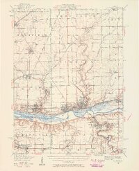
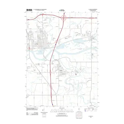
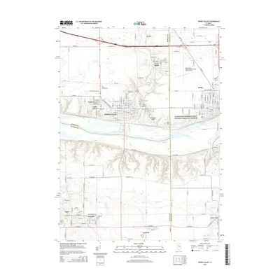
(26)- 1893 Map of Lasalle
 1893 Lasalle1893 Print · USGSThe Illinois River valley was a powerhouse of nineteenth-century industry and transport where the canal era met the railroad boom. Researchers can trace the early street grids of Peru and La Salle or locate vanished stops along the North Western Railway and the Illinois and Michigan Canal.4 unique versions available
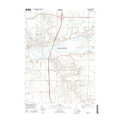
 - 1911 Map of La Salle
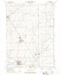
 1911 La Salle1911 Print · USGSThe Illinois River valley thrived as a hub of rail and river commerce in the early twentieth century. Researchers can trace the development of industrial centers like La Salle and Oglesby, or locate vanished post offices and rural landmarks like Standard Taft PO and St Bedes College.
 - 1913 Map of La Salle
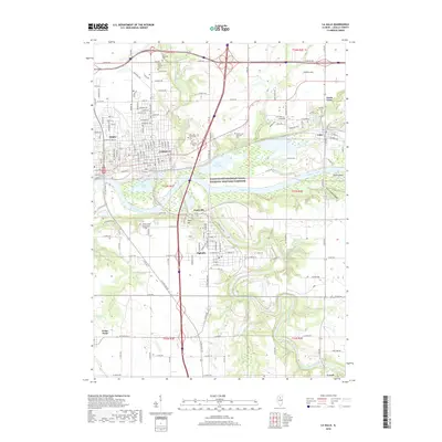
 1913 La Salle1913 Print · USGSThe industrial heart of the Illinois River valley thrives in the early twentieth century, showing the intersection of heavy rail and river trade. Genealogists can trace family homes near St Bedes College or find old post offices like Standard Taft PO and rural stops at Hicks Corners.4 unique versions available
 - 1947 Map of La Salle, 1958 Print
 1947 La Salle1958 Print · USGSLa Salle and the Illinois River valley are shown here in the years following the war, as the rail-to-river economy remained in full swing. Local historians can trace the transition from rail to road while locating St Bedes College, Matthiessen Park, and Spring Valley.2 unique versions available
 - 1958 Map of Aurora, 1969 Print
 1958 Aurora1969 Print · USGSNorthern Illinois in the late fifties shows a landscape of powerful river industry and expanding transport corridors. Genealogists and historians can trace the development of Aurora and Joliet or locate sites like the Elwood Ordnance Plant and Starved Rock.3 unique versions available
 - 1961 Map of Aurora
 1961 Aurora1961 Print · USGSNorthern Illinois at the height of the post-war era reveals a landscape of massive industrial works and thriving river towns. Genealogists and historians can trace the paths of the Lincoln Highway or locate long-standing landmarks like the Green River Ordnance Plant and Starved Rock State Park.
 - 1966 Map of Ladd, 1968 Print
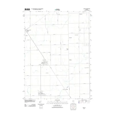
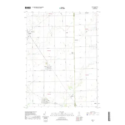
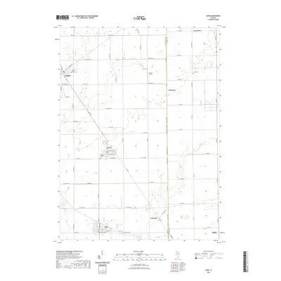
 1966 Ladd1968 Print · USGSIn the mid-1960s, these Illinois prairie townships remained deeply marked by their coal mining and railroading roots. Researchers can trace the industrial footprint at Ladd, locate family plots at Miners Memorial Cem, or follow the path of the historic Plank Road.2 unique versions available
 - 1966 Map of La Salle, 1968 Print
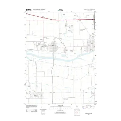
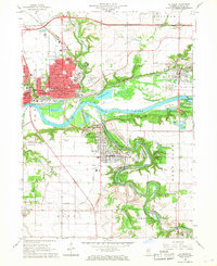 1966 La Salle1968 Print · USGSThe industrial corridor of the Illinois and Vermilion Rivers thrived during the 1960s, anchored by the hubs of La Salle and Peru. Genealogists and historians can locate landmarks like St Vincent Cemetery, St Marys Hospital, and the rail networks serving Oglesby and Cedar Point.3 unique versions available
 - 1966 Map of Spring Valley, 1968 Print
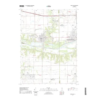
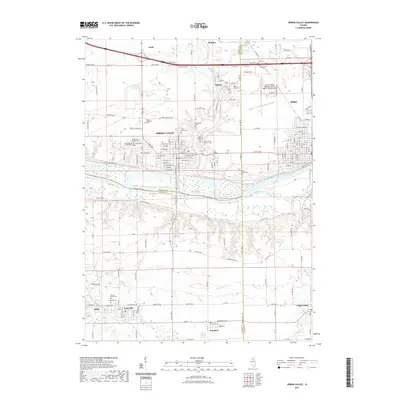
 1966 Spring Valley1968 Print · USGSThe Illinois River valley in the mid-sixties is a dense corridor of rail-and-river industry and established parish life. Genealogists and historians can trace the footprint of Spring Valley and Granville through local sites like Sacred Heart Cem and Hopkins High Sch.2 unique versions available
 - 1985 Map of Kewanee
 1985 Kewanee1985 Print · USGSNorth-central Illinois in the mid-eighties shows a landscape of river-valley industry and prairie transit. Researchers can trace family roots through Evergreen Memory Garden or follow the historic Hennepin Canal past Tiskilwa and Wyanet.2 unique versions available
 - 1993 Map of La Salle
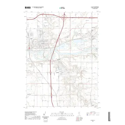
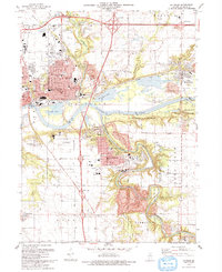 1993 La Salle1993 Print · USGSThe Illinois River valley and its industrial bluffs are shown in great detail in the early nineties, revealing a landscape shaped by water and transit. Researchers can trace local history through St Hyacinth Cem, the Michigan and Illinois Canal, and the early layout of Oglesby.
 - 2012 Map of La Salle, 2012 Print
 2012 La Salle2012 Print · USGSCovers Peru, including LaSalle, La Salle, and other nearby areas
 - 2012 Map of Spring Valley, 2012 Print
 2012 Spring Valley2012 Print · USGSCovers Peru, including Spring Valley, Granville, and other nearby areas
 - 2012 Map of Ladd, 2012 Print
 2012 Ladd2012 Print · USGSCovers Peru, including Ladd, Cherry, and other nearby areas
 - 2015 Map of Ladd, 2015 Print
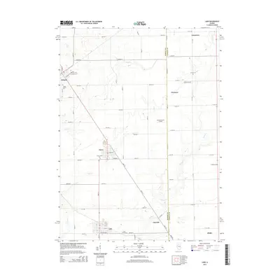 2015 Ladd2015 Print · USGSCovers Peru, including Ladd, Cherry, and other nearby areas
 - 2015 Map of Spring Valley, 2015 Print
 2015 Spring Valley2015 Print · USGSCovers Peru, including Spring Valley, Granville, and other nearby areas
 - 2015 Map of La Salle, 2015 Print
 2015 La Salle2015 Print · USGSCovers Peru, including LaSalle, La Salle, and other nearby areas
 - 2018 Map of La Salle, 2018 Print
 2018 La Salle2018 Print · USGSCovers Peru, including LaSalle, La Salle, and other nearby areas
 - 2018 Map of Ladd, 2018 Print
 2018 Ladd2018 Print · USGSCovers Peru, including Ladd, Cherry, and other nearby areas
 - 2018 Map of Spring Valley, 2018 Print
 2018 Spring Valley2018 Print · USGSCovers Peru, including Spring Valley, Granville, and other nearby areas
 - 2021 Map of Spring Valley, 2021 Print
 2021 Spring Valley2021 Print · USGSCovers Peru, including Spring Valley, Granville, and other nearby areas
 - 2021 Map of La Salle, 2021 Print
 2021 La Salle2021 Print · USGSCovers Peru, including LaSalle, La Salle, and other nearby areas
 - 2021 Map of Ladd, 2021 Print
 2021 Ladd2021 Print · USGSCovers Peru, including Ladd, Cherry, and other nearby areas
 - 2024 Map of Ladd, 2024 Print
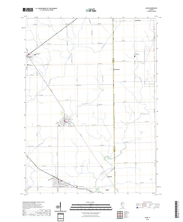 2024 Ladd2024 Print · USGSBureau County at the dawn of the 2020s remains a landscape of tightly knit farming communities and deep-rooted history. Genealogists can trace family legacies through local landmarks like Miners Memorial Cem, Ladd Cem, and the small settlement of Fitchmoor.
 - 2024 Map of Spring Valley, 2024 Print
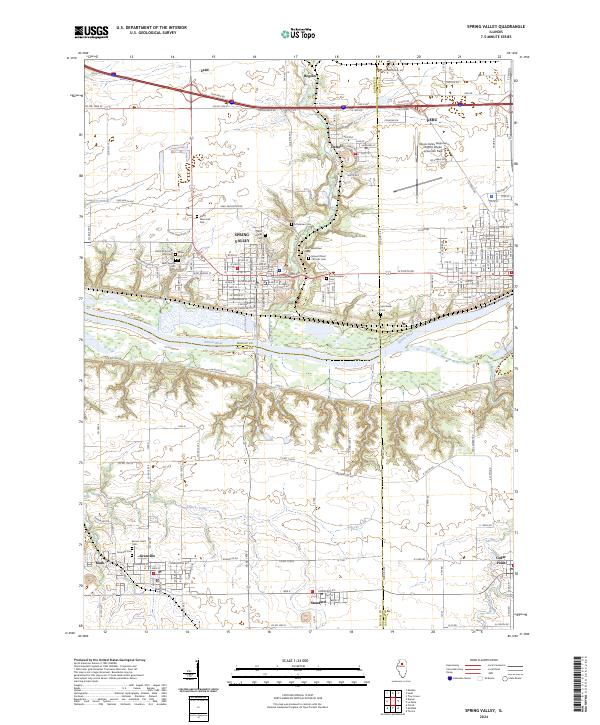 2024 Spring Valley2024 Print · USGSSpring Valley and the Illinois River bluffs are documented here during a period of modern regional connectivity. Local researchers can trace the cultural landscape through landmarks like the Lithuanian Cem, Saint Bede Cem, and Granville.
Showing maps 1-25 of 26
Top cities near Peru
- La Salle historical maps
- LaSalle historical maps
- Mendota historical maps
- Spring Valley historical maps
- Oglesby historical maps
- Henry historical maps
See more
Frequently asked questions
- What are the different types of historical maps available for Peru?
- What is the oldest map of Peru?
- Where can I purchase historical maps of Peru for my home or office?
- Where can I download high-res historical maps of Peru?
- Are there historical topographic maps available for Peru?
- Is there historical aerial imagery available for Peru?
- Where are historical maps of Peru sourced from?