Old Maps of Helena, Illinois
Explore 12 old maps of Helena, spanning from 1911 to today. These high-resolution historic maps reveal how streets, neighborhoods, landmarks, and natural features evolved over time — perfect for genealogy, metal detecting, research, and local history exploration.
What you can do with these maps:
- See how Helena changed over time: Compare historical maps to modern-day views to trace roads, homesites, rail lines & more.
- View detailed metadata: Each map includes creators, publishers, year, scale, and archive source.
- Overlay maps with satellite & LiDAR: Visualize the past alongside modern tools to explore terrain & human change.
- Trusted historical sources: Maps sourced from the USGS, Library of Congress, and other archives.
- Access maps your way: View online, download high-res files, or order prints for personal or research use.
Start exploring old maps of Helena to uncover forgotten places, hidden landmarks, and the deep history beneath your feet.
Helena, IL maps
(12)- 1911 Map of Sumner, 1954 Print
 1911 Sumner1954 Print · USGSSoutheast Illinois at the dawn of the twentieth century was a landscape of bustling rail towns and ubiquitous country schools. Genealogists can locate family-named landmarks and long-lost rural centers like Berryville, the Oil Tanks of Bridgeport, and Frogeye School.
 - 1913 Map of Sumner
 1913 Sumner1913 Print · USGSThe rural landscape of Lawrence and Richland counties is captured here just before the First World War, centered on the BALTIMORE AND OHIO SOUTHWESTERN rail line. Genealogists can locate numerous rural schools like Frogeye School and Buckhorn School or trace the early Oil Tanks near Bridgeport.2 unique versions available
 - 1956 Map of Vincennes, 1967 Print
 1956 Vincennes1967 Print · USGSSouthern Indiana and the Illinois borderlands are captured here in the mid-fifties, showing the region's dense network of river towns and rail lines. Researchers can trace historic river crossings along the Wabash River or locate landmarks like Wyandotte Cave and Lincoln State Park.4 unique versions available
 - 1957 Map of Vincennes
 1957 Vincennes1957 Print · USGSSouthwest Indiana and the Illinois borderlands come alive in the late 1950s, a period of heavy rail traffic and expanding state forests. Genealogists and historians can trace the riverfronts and rail lines of Vincennes, New Harmony, and the vast Crane Naval Ammunition Depot.
 - 1958 Map of Vincennes
 1958 Vincennes1958 Print · USGSSouthern Indiana and the Illinois borderlands are captured during a mid-century period of heavy rail traffic and military activity. Researchers can trace the sprawling bounds of the Crane Naval Ammunition Depot or locate historic settlements like New Harmony and French Lick.2 unique versions available
 - 1968 Map of Lancaster, 1970 Print
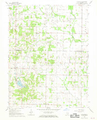 1968 Lancaster1970 Print · USGSWabash and Lawrence Counties are shown here in the late sixties as an active landscape of prairie farming and oil production. Researchers can trace rural lineages through family landmarks like Moffett Cem or visit small hubs like Lancaster and Orio.
 - 1986 Map of Vincennes
 1986 Vincennes1986 Print · USGSThe Wabash River valley in the mid-1980s shows a landscape defined by deep-rooted river towns and heavy industry. Researchers can trace the legacy of regional rail lines like the Conrail system or locate landmarks such as Vincennes University and St Francisville Church.2 unique versions available
 - 2012 Map of Lancaster, 2012 Print
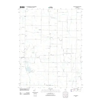 2012 Lancaster2012 Print · USGSIllinois farmland and rural settlements are mapped in detail here during the early 2010s. Researchers can trace family history through numerous burial sites like Corrie Cem and Oreo Cem or locate legacy industry at the West Ruark Oil Field.
 - 2015 Map of Lancaster, 2015 Print
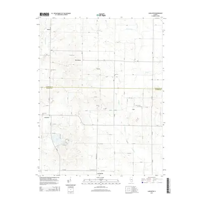 2015 Lancaster2015 Print · USGSSoutheast Illinois farmland and quiet creek valleys define this rural landscape during the mid-2010s. Genealogists can trace decades of local history through numerous small burial sites like New Lancaster Cem, Oreo Cem, and Ridgely Cem.
 - 2018 Map of Lancaster, 2018 Print
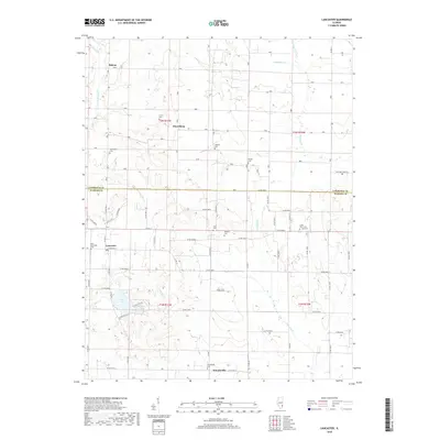 2018 Lancaster2018 Print · USGSThe rural borders of Lawrence and Wabash counties are captured here in the late twenty-first century, showing a landscape of established farmsteads and creek valleys. Genealogists can trace family connections through numerous local burial sites like New Lancaster Cem, Bethel Cem, and Craig Farm Cem.
 - 2021 Map of Lancaster, 2021 Print
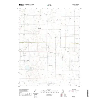 2021 Lancaster2021 Print · USGSSoutheastern Illinois at the start of the 2020s remains a landscape of quiet rural crossroads and deep ancestral roots. Genealogists can trace family histories through numerous sites like Old Lancaster Cemetery, Friendsville Cemetery, and Ridgely Cemetery.
 - 2024 Map of Lancaster, 2024 Print
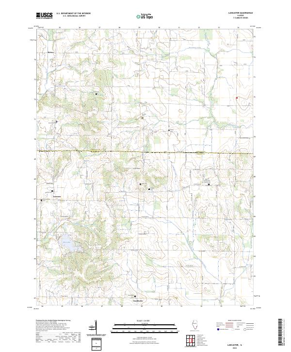 2024 Lancaster2024 Print · USGSWabash and Lawrence counties are shown here in the 2020s, dominated by a grid of farm roads and small crossroads settlements. Genealogists can locate numerous historic burial sites such as Old Lancaster Cem, Corrie Cem, and Moffett Cem.
End of results
Showing maps 1-12 of 12
Top cities near Helena
- Olney historical maps
- Mount Carmel historical maps
- Lawrenceville historical maps
- Bridgeport historical maps
- Albion historical maps
- Sumner historical maps
See more
Frequently asked questions
- What are the different types of historical maps available for Helena?
- What is the oldest map of Helena?
- Where can I purchase historical maps of Helena for my home or office?
- Where can I download high-res historical maps of Helena?
- Are there historical topographic maps available for Helena?
- Is there historical aerial imagery available for Helena?
- Where are historical maps of Helena sourced from?