Old Maps of Sand Barrens, Illinois for Genealogy
Trace your family roots with 13 historic maps of Sand Barrens. These high-res maps reveal old neighborhoods, homesites, landmarks, and streets — helping you uncover where your ancestors lived and how the area evolved over time.
- Explore historic neighborhoods: Identify where your relatives may have lived in the 1800s or 1900s.
- Compare maps over time: Trace the changes in streets, buildings, and landmarks for multi-generational research.
- Perfect for genealogy & ancestry research: Used by family historians and researchers to map out lineage and migration.
These maps are an incredible resource for exploring your personal connection to Sand Barrens's past.
Sand Barrens, IL maps
(13)- 1915 Map of Vincennes
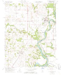
 1915 Vincennes1915 Print · USGSThe Wabash River valley comes to life in this early twentieth-century survey of the Illinois-Indiana border. Genealogists can trace family roots through numerous rural landmarks like St Francisville, the Sand Barrens School, and Adams Corners.5 unique versions available
 - 1944 Map of Vincennes, 1958 Print
 1944 Vincennes1958 Print · USGSThe Wabash River valley during the mid-1940s reveals a landscape of river-town commerce and rural school districts. Genealogists can trace family roots through numerous sites like St Thomas church, the Bunker Hill School, and the small settlement at Billett.
 - 1956 Map of Vincennes, 1967 Print
 1956 Vincennes1967 Print · USGSSouthern Indiana and the Illinois borderlands are captured here in the mid-fifties, showing the region's dense network of river towns and rail lines. Researchers can trace historic river crossings along the Wabash River or locate landmarks like Wyandotte Cave and Lincoln State Park.4 unique versions available
 - 1957 Map of Vincennes
 1957 Vincennes1957 Print · USGSSouthwest Indiana and the Illinois borderlands come alive in the late 1950s, a period of heavy rail traffic and expanding state forests. Genealogists and historians can trace the riverfronts and rail lines of Vincennes, New Harmony, and the vast Crane Naval Ammunition Depot.
 - 1958 Map of Vincennes
 1958 Vincennes1958 Print · USGSSouthern Indiana and the Illinois borderlands are captured during a mid-century period of heavy rail traffic and military activity. Researchers can trace the sprawling bounds of the Crane Naval Ammunition Depot or locate historic settlements like New Harmony and French Lick.2 unique versions available
 - 1964 Map of St. Francisville, 1966 Print
 1964 St. Francisville1966 Print · USGSThe Wabash River valley in the mid-sixties reveals a landscape shaped by river bends and rail lines. Genealogists can trace rural roots through numerous sites like Jordan Cem, New Bethel Ch, and the streets of St Francisville.3 unique versions available
 - 1986 Map of Vincennes
 1986 Vincennes1986 Print · USGSThe Wabash River valley in the mid-1980s shows a landscape defined by deep-rooted river towns and heavy industry. Researchers can trace the legacy of regional rail lines like the Conrail system or locate landmarks such as Vincennes University and St Francisville Church.2 unique versions available
 - 2010 Map of Saint Francisville, 2010 Print
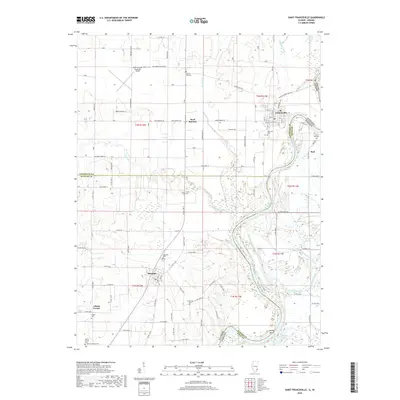
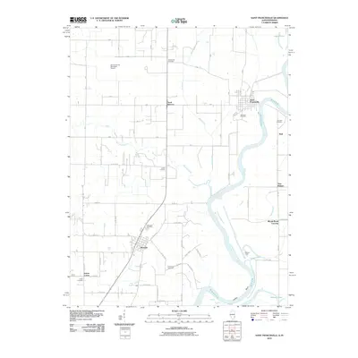 2010 Saint Francisville2010 Print · USGSCovers Sand Barrens, including Allendale, Beal, and other nearby areas
 - 2012 Map of Saint Francisville, 2012 Print
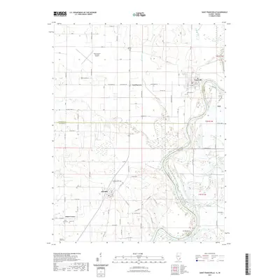
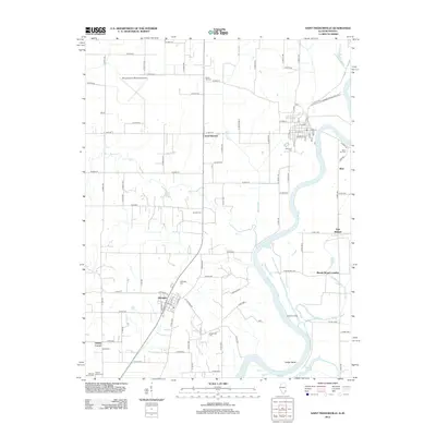 2012 Saint Francisville2012 Print · USGSCovers Sand Barrens, including Allendale, Beal, and other nearby areas
 - 2015 Map of Saint Francisville, 2015 Print
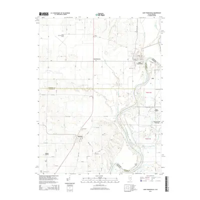 2015 Saint Francisville2015 Print · USGSCovers Sand Barrens, including Allendale, Beal, and other nearby areas
 - 2018 Map of Saint Francisville, 2018 Print
 2018 Saint Francisville2018 Print · USGSCovers Sand Barrens, including Allendale, Beal, and other nearby areas
 - 2021 Map of Saint Francisville, 2021 Print
 2021 Saint Francisville2021 Print · USGSCovers Sand Barrens, including Allendale, Beal, and other nearby areas
 - 2024 Map of Saint Francisville, 2024 Print
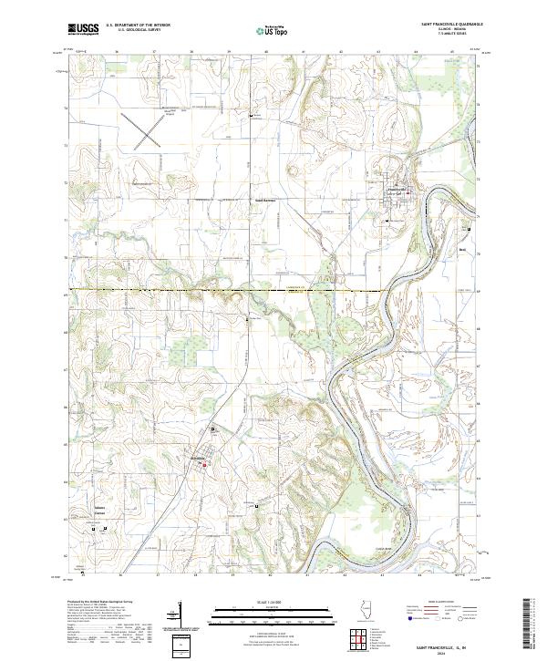 2024 Saint Francisville2024 Print · USGSThe Illinois-Indiana border along the Wabash River comes alive in this contemporary survey of a historic riverfront landscape. Researchers can trace numerous family burial grounds and small settlements, including Adams Corner, Oak Lawn Cem, and the uniquely named Wabash Cannon Ball Rd.
End of results
Showing maps 1-13 of 13
Top cities near Sand Barrens
- Vincennes historical maps
- Princeton historical maps
- Mount Carmel historical maps
- Lawrenceville historical maps
- Bridgeport historical maps
- Sumner historical maps
See more
Frequently asked questions
- What are the different types of historical maps available for Sand Barrens?
- What is the oldest map of Sand Barrens?
- Where can I purchase historical maps of Sand Barrens for my home or office?
- Where can I download high-res historical maps of Sand Barrens?
- Are there historical topographic maps available for Sand Barrens?
- Is there historical aerial imagery available for Sand Barrens?
- Where are historical maps of Sand Barrens sourced from?