Old Maps of Ashton Township, Illinois for Metal Detecting
Plan your next treasure hunt with 30 historic maps of Ashton Township. Find old homesites, ghost towns, trails, and gathering spots that may be lost to time — perfect for identifying promising metal detecting locations.
- Locate forgotten sites: Uncover places like long-lost settlements, abandoned rail lines, or gathering spots.
- Plan better hunts: Use map overlays combined with LiDAR or satellite views to narrow in on historically rich areas.
- Made for detectorists: Thousands of hobbyists use these maps to discover relics, coins, and hidden history.
Use these historic maps to boost your research and find new opportunities beneath the surface of Ashton Township.
Ashton Township, IL maps
(30)- 1918 Map of Dixon
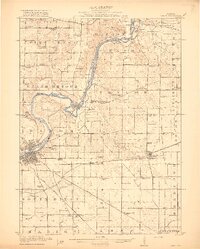 1918 Dixon1918 Print · USGSLee and Ogle Counties are captured at a pivotal moment during the First World War when the rural schoolhouse system was at its peak. Genealogists can trace family footprints across townships to landmarks like Grand Detour, Pennsylvania Corners, and the White Temple School.3 unique versions available
 - 1950 Map of Dixon, 1964 Print
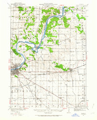 1950 Dixon1964 Print · USGSThe Rock River valley in the mid-twentieth century shows a landscape of busy river towns and dense rural school districts. Genealogists can locate family-named landmarks like Tealls Corners School, Emmert School, and the White Temple church.2 unique versions available
 - 1952 Map of Rochelle, 1954 Print
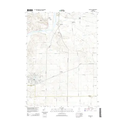
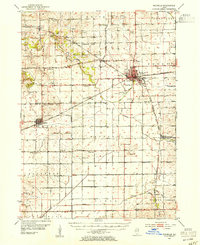 1952 Rochelle1954 Print · USGSOgle and Lee Counties in the early fifties reveal a landscape of thriving rural schools and critical rail junctions centered on Rochelle. Genealogists can trace local roots through numerous landmarks including Reynolds Ch, Twin Grove Cem, and Willow Center Sch.3 unique versions available
 - 1958 Map of Aurora, 1969 Print
 1958 Aurora1969 Print · USGSNorthern Illinois in the late fifties shows a landscape of powerful river industry and expanding transport corridors. Genealogists and historians can trace the development of Aurora and Joliet or locate sites like the Elwood Ordnance Plant and Starved Rock.3 unique versions available
 - 1961 Map of Aurora
 1961 Aurora1961 Print · USGSNorthern Illinois at the height of the post-war era reveals a landscape of massive industrial works and thriving river towns. Genealogists and historians can trace the paths of the Lincoln Highway or locate long-standing landmarks like the Green River Ordnance Plant and Starved Rock State Park.
 - 1975 Map of Chana, 1978 Print
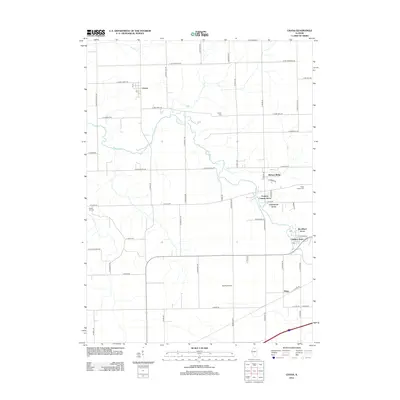
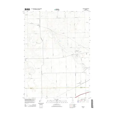
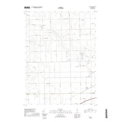
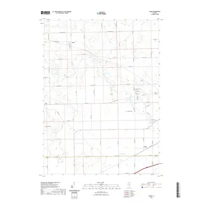
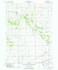 1975 Chana1978 Print · USGSOgle County's rural landscape is captured here in the mid-1970s, showcasing the intersection of the Kite River and several major rail lines. Researchers can trace historic cemeteries like Chapel Hill Cem and local landmarks such as Ashton Ch or the settlement of Chana.
 - 1975 Map of Ashton, 1978 Print
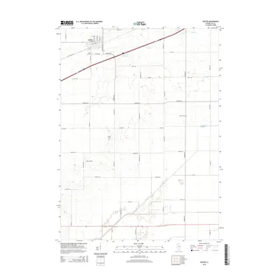
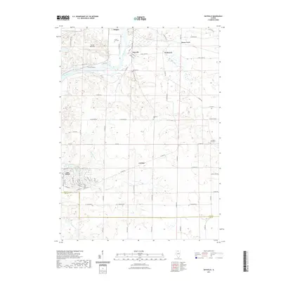
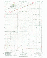 1975 Ashton1978 Print · USGSIn the mid-1970s, the village of Ashton and its surrounding townships anchored a productive Lee County landscape. Researchers can trace family roots and old land boundaries near the Reynolds Church, Reynolds Cemetery, and the Sword Landing Strip.
 - 1983 Map of Daysville, 1984 Print
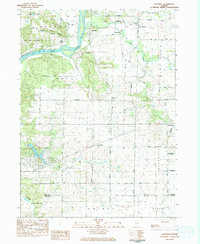 1983 Daysville1984 Print · USGSOgle County's agricultural heartland and the bluffs of the Rock River are captured here in the early 1980s. Genealogists can trace family names and local landmarks through sites like Daysville Cem, Lighthouse Ch, and the settlement of Watertown.
 - 1983 Map of Franklin Grove, 1984 Print
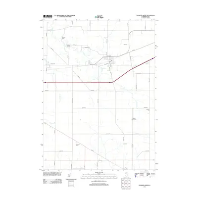
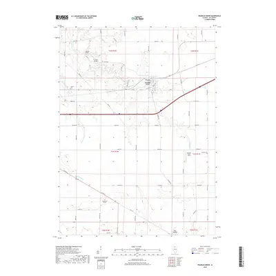
 1983 Franklin Grove1984 Print · USGSFranklin Grove and the surrounding Lee County townships are captured in the early 1980s, showcasing a mix of established village life and rural farmland. Researchers can trace family history at Temperance Hill Cem, locate the County 4-H Center, or explore the local grid of Franklin Grove.
 - 1985 Map of Dixon
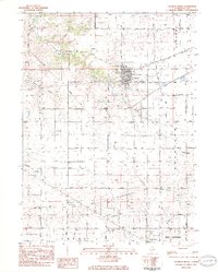
 1985 Dixon1985 Print · USGSNorth-central Illinois in the mid-eighties was a land of river cities and expansive prairies defined by rail lines and private airfields. Researchers can locate family landmarks like Oakwood Cem, the Sword Landing Strip, and Sauk Valley College while tracing the C & N W railroad.2 unique versions available
 - 2012 Map of Daysville, 2012 Print
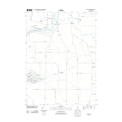 2012 Daysville2012 Print · USGSCovers Ashton Township, including Oregon, Watertown, and other nearby areas
 - 2012 Map of Chana, 2012 Print
 2012 Chana2012 Print · USGSCovers Ashton Township, including Reynolds Township, Chana, and other nearby areas
 - 2012 Map of Franklin Grove, 2012 Print
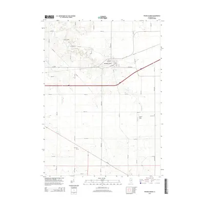
 2012 Franklin Grove2012 Print · USGSCovers Ashton Township, including Franklin Grove, Franklin Grove Township, and other nearby areas
 - 2012 Map of Ashton, 2012 Print
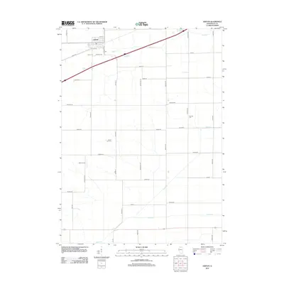 2012 Ashton2012 Print · USGSCovers Ashton Township, including Ashton, Reynolds Township, and other nearby areas
 - 2015 Map of Franklin Grove, 2015 Print
 2015 Franklin Grove2015 Print · USGSCovers Ashton Township, including Franklin Grove, Franklin Grove Township, and other nearby areas
 - 2015 Map of Daysville, 2015 Print
 2015 Daysville2015 Print · USGSCovers Ashton Township, including Oregon, Watertown, and other nearby areas
 - 2015 Map of Ashton, 2015 Print
 2015 Ashton2015 Print · USGSCovers Ashton Township, including Ashton, Reynolds Township, and other nearby areas
 - 2015 Map of Chana, 2015 Print
 2015 Chana2015 Print · USGSCovers Ashton Township, including Reynolds Township, Chana, and other nearby areas
 - 2018 Map of Franklin Grove, 2018 Print
 2018 Franklin Grove2018 Print · USGSCovers Ashton Township, including Franklin Grove, Franklin Grove Township, and other nearby areas
 - 2018 Map of Chana, 2018 Print
 2018 Chana2018 Print · USGSCovers Ashton Township, including Reynolds Township, Chana, and other nearby areas
 - 2018 Map of Daysville, 2018 Print
 2018 Daysville2018 Print · USGSCovers Ashton Township, including Oregon, Watertown, and other nearby areas
 - 2018 Map of Ashton, 2018 Print
 2018 Ashton2018 Print · USGSCovers Ashton Township, including Ashton, Reynolds Township, and other nearby areas
 - 2021 Map of Franklin Grove, 2021 Print
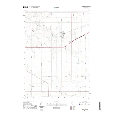 2021 Franklin Grove2021 Print · USGSCovers Ashton Township, including Franklin Grove, Franklin Grove Township, and other nearby areas
 - 2021 Map of Daysville, 2021 Print
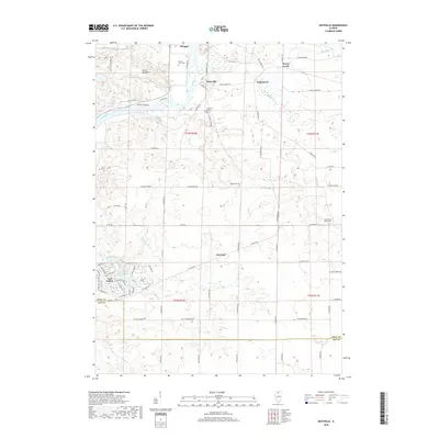
 2021 Daysville2021 Print · USGSCovers Ashton Township, including Oregon, Watertown, and other nearby areas
 - 2021 Map of Chana, 2021 Print
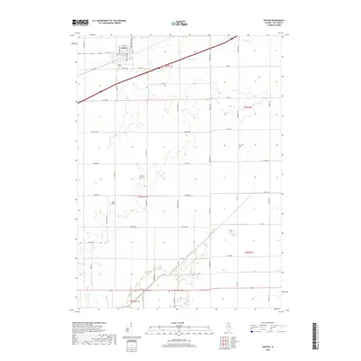
 2021 Chana2021 Print · USGSCovers Ashton Township, including Reynolds Township, Chana, and other nearby areas
Showing maps 1-25 of 30
Top cities near Ashton Township
- Dixon historical maps
- Rochelle historical maps
- Oregon historical maps
- Mount Morris historical maps
- Amboy historical maps
- Davis Junction historical maps
See more
Top neighborhoods of Ashton Township
Frequently asked questions
- What are the different types of historical maps available for Ashton Township?
- What is the oldest map of Ashton Township?
- Where can I purchase historical maps of Ashton Township for my home or office?
- Where can I download high-res historical maps of Ashton Township?
- Are there historical topographic maps available for Ashton Township?
- Is there historical aerial imagery available for Ashton Township?
- Where are historical maps of Ashton Township sourced from?