Old Maps of Harmon Township, Illinois for Academic Research
Study the evolution of Harmon Township with 31 high-resolution historic maps. Whether you're teaching, researching, or modeling changes in land use, these maps provide essential visual documentation of urban, environmental, and geographic change.
- Analyze long-term change: Track patterns in development, transportation, and natural features.
- Ideal for environmental or urban studies: Support academic projects with primary historical map data.
- Use in the classroom or lab: Educators and researchers rely on these maps to bring historical context to life.
These maps are a powerful tool for teaching, research, and visualizing how Harmon Township has changed over the decades.
Harmon Township, IL maps
(31)- 1930 Map of Woodsung
 1930 Woodsung1930 Print · USGSNorthern Illinois at the dawn of the 1930s shows a landscape of tight-knit farming townships linked by the Lincoln Highway. Genealogists and local historians can trace schoolhouse locations like Stone Sch and Gap Grove Sch, or locate family sites near the Prairieville Cem.
 - 1946 Map of Sterling, 1969 Print
 1946 Sterling1969 Print · USGSThe Rock River corridor in the mid-1940s is captured here, showing the industrial heart of the region alongside its deep agricultural roots. Researchers can find dozens of country schools and cemeteries, including Buffalo Grove Sch, Zion Cem, and Oak Knoll Mem Park Cem.
 - 1948 Map of Sterling
 1948 Sterling1948 Print · USGSMid-century Sterling and Rock Falls are captured here during a time of robust rail and river activity. Genealogists can trace family roots through dozens of rural landmarks, including the Prairieville settlement, West Science Ridge Ch, and Hitt Cem.2 unique versions available
 - 1949 Map of Walnut
 1949 Walnut1949 Print · USGSThe rural landscapes of Bureau and Lee counties are captured in the late 1940s, a time when one-room schools and small rail towns anchored the prairie. Genealogists can trace family landmarks like Bowen Cem, Sturtz Sch, and the community of New Bedford along the Green River.3 unique versions available
 - 1958 Map of Aurora, 1969 Print
 1958 Aurora1969 Print · USGSNorthern Illinois in the late fifties shows a landscape of powerful river industry and expanding transport corridors. Genealogists and historians can trace the development of Aurora and Joliet or locate sites like the Elwood Ordnance Plant and Starved Rock.3 unique versions available
 - 1961 Map of Aurora
 1961 Aurora1961 Print · USGSNorthern Illinois at the height of the post-war era reveals a landscape of massive industrial works and thriving river towns. Genealogists and historians can trace the paths of the Lincoln Highway or locate long-standing landmarks like the Green River Ordnance Plant and Starved Rock State Park.
 - 1982 Map of Harmon
 1982 Harmon1982 Print · USGSHarmon and Hamilton townships are shown in the early 1980s at a critical rail intersection in rural Lee County. Genealogists and local historians can trace early community life through landmarks like Holy Cross Ch, Centenary Cem, and the rail stop at Van Petten.3 unique versions available
 - 1982 Map of Hahnaman
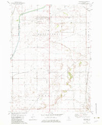 1982 Hahnaman1982 Print · USGSWhiteside County in the early eighties shows an engineered landscape of prairie drainage and rail lines. Researchers can trace family-named roads like Mc Elvee Road and local sites like the Montmorency Sch and the Hennepin Canal Feeder.
 - 1983 Map of Sterling, 1984 Print
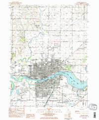 1983 Sterling1984 Print · USGSSterling and Rock Falls are shown here at the Rock River in the early eighties, joined by a network of bridges and railroads. Researchers can trace neighborhood growth through local landmarks like Newman Central High Sch, the Indian Mounds Historic Site, and Oak Knoll Cem.2 unique versions available
 - 1983 Map of Dixon West, 1984 Print
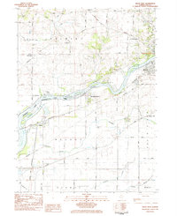 1983 Dixon West1984 Print · USGSDixon and its western environs are shown in the early 1980s as the regional rail and river network continued to shape Lee County. Researchers can trace family sites at Nelson Cem and Rock Ridge Cem or follow the path of the Hennepin Canal.
 - 1985 Map of Dixon
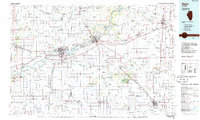 1985 Dixon1985 Print · USGSNorth-central Illinois in the mid-eighties was a land of river cities and expansive prairies defined by rail lines and private airfields. Researchers can locate family landmarks like Oakwood Cem, the Sword Landing Strip, and Sauk Valley College while tracing the C & N W railroad.2 unique versions available
 - 2012 Map of Hahnaman, 2012 Print
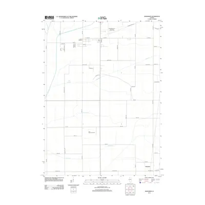 2012 Hahnaman2012 Print · USGSWhiteside County in the early twenty-first century reveals a highly organized agricultural landscape shaped by aviation and drainage systems. Genealogists and local historians can locate Golder Cem or trace the development around Hahnaman and the Whiteside County Airport-Jos H Bittorf Field.
 - 2012 Map of Harmon, 2012 Print
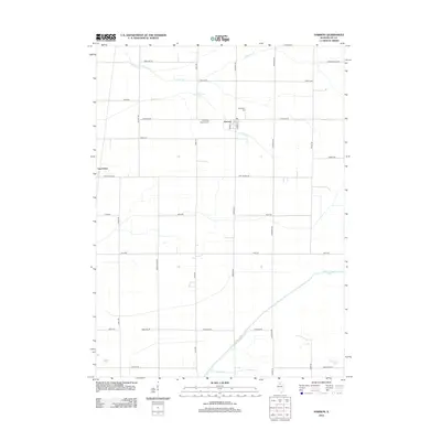 2012 Harmon2012 Print · USGSHarmon and the surrounding Illinois prairie are shown here in the early twenty-first century as a landscape of grid-based farming and small villages. Genealogists can trace family roots at Holy Cross Catholic Cem and Centenary Cem near the banks of Coon Creek.
 - 2012 Map of Sterling, 2012 Print
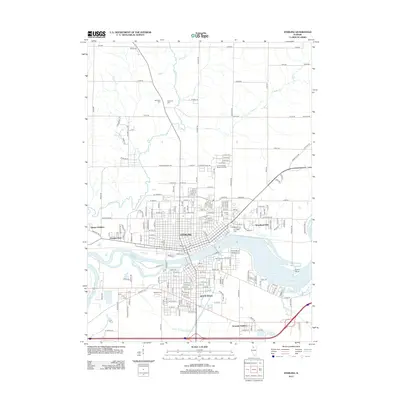 2012 Sterling2012 Print · USGSSterling and Rock Falls are captured in detail here during the early twenty-first century as they straddle the Rock River. Local historians can trace neighborhood developments in Grimes Addition and locate several burial sites including Riverside Cem and Oak Knoll Cem.
 - 2012 Map of Dixon West, 2012 Print
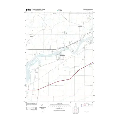 2012 Dixon West2012 Print · USGSThe Rock River valley south of Dixon comes alive in this 2012 survey, showing the mix of education, recreation, and rural life in Lee County. Researchers can locate the Sauk Valley Community College campus, the Midway Drive-In, and several burial sites like Nelson Cem.
 - 2015 Map of Dixon West, 2015 Print
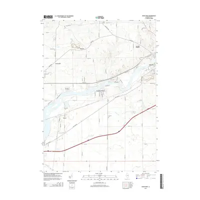 2015 Dixon West2015 Print · USGSLee County life centers on the Rock River valley in the mid-2010s, showing a blend of academic campuses and quiet riverside hamlets. Local historians can trace family ties through Sugar Grove Cem or locate the rural communities of Palmyra and Nelson.
 - 2015 Map of Harmon, 2015 Print
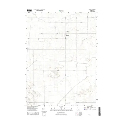 2015 Harmon2015 Print · USGSThe rural prairie of Lee County is mapped here in the early twenty-first century, showcasing its sophisticated drainage and road networks. Genealogists and local historians can trace the vicinity of Harmon and Van Petten, as well as the Holy Cross Catholic Cem and Centenary Cem.
 - 2015 Map of Hahnaman, 2015 Print
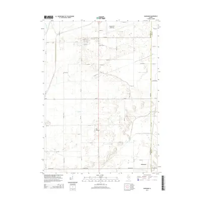 2015 Hahnaman2015 Print · USGSHahnaman and the surrounding agricultural lands of Whiteside County are mapped here in the early twenty-first century. Genealogists and local historians can trace family road names and drainage networks like Winnebago Ditch, Main Ditch, and Golder Cem.
 - 2015 Map of Sterling, 2015 Print
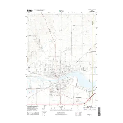 2015 Sterling2015 Print · USGSThe twin cities of Sterling and Rock Falls appear in clear detail during the mid-2010s, bisected by the Rock River. Local historians can trace established neighborhoods like Grimes Addition and locate several cemeteries including Odd Fellows Cem and Riverside Cem.
 - 2018 Map of Harmon, 2018 Print
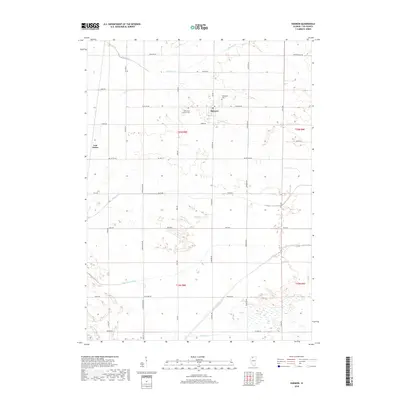 2018 Harmon2018 Print · USGSHarmon and the surrounding Lee County prairies are shown here in the late twenty-teens, revealing a landscape deeply defined by its drainage and grid-road history. Researchers can locate family landmarks like Holy Cross Catholic Cem and trace the paths of Winnebago Ditch and the Green River.
 - 2018 Map of Dixon West, 2018 Print
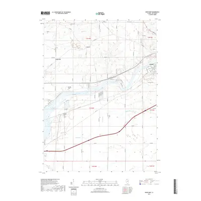 2018 Dixon West2018 Print · USGSThe Rock River valley west of Dixon comes into focus in this recent survey of Lee County. Researchers can trace local heritage through the many rural burial sites like Sugar Grove Cem or locate landmarks like Sauk Valley Community College and Nelson.
 - 2018 Map of Hahnaman, 2018 Print
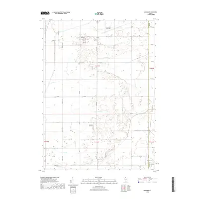 2018 Hahnaman2018 Print · USGSAgricultural land and aviation facilities define this Whiteside County landscape in the late 2010s. Genealogists and local historians can trace family properties near Golder Cem or study the critical drainage network of the Winnebago Ditch and Main Ditch.
 - 2018 Map of Sterling, 2018 Print
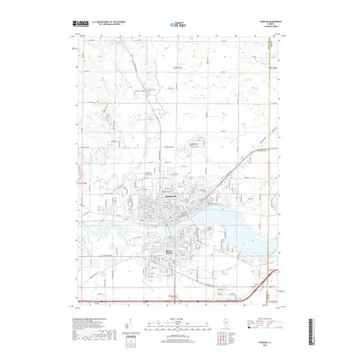 2018 Sterling2018 Print · USGSSterling and Rock Falls are captured in detail during the late 2010s as they span the Rock River. Local historians can trace established neighborhoods and rural landmarks like the Science Ridge Mennonite Cem and Odd Fellows Cem.
 - 2021 Map of Harmon, 2021 Print
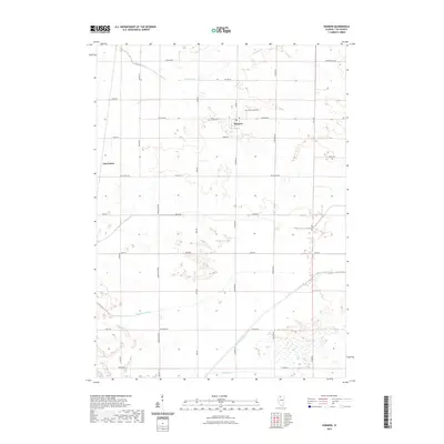 2021 Harmon2021 Print · USGSHarmon and the surrounding Lee County prairie are depicted here during the early twenty-first century, showing a landscape defined by industrial-scale agriculture. Researchers can trace rural cemetery locations like Greenwood Cem and the drainage network of the Green River and Winnebago Ditch.
 - 2021 Map of Hahnaman, 2021 Print
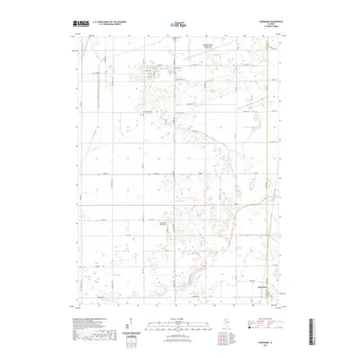 2021 Hahnaman2021 Print · USGSThe Illinois prairie at the boundary of Whiteside and Lee Counties reveals a landscape defined by industrial-scale drainage and rural aviation. Researchers can trace family history at Golder Cem or locate the site of Hahnaman amidst the Winnebago Ditch and Main Ditch.
Showing maps 1-25 of 31
Top cities near Harmon Township
- Dixon historical maps
- Sterling historical maps
- Rock Falls historical maps
- Palmyra historical maps
- Amboy historical maps
- Walnut historical maps
See more
Top neighborhoods of Harmon Township
Frequently asked questions
- What are the different types of historical maps available for Harmon Township?
- What is the oldest map of Harmon Township?
- Where can I purchase historical maps of Harmon Township for my home or office?
- Where can I download high-res historical maps of Harmon Township?
- Are there historical topographic maps available for Harmon Township?
- Is there historical aerial imagery available for Harmon Township?
- Where are historical maps of Harmon Township sourced from?