Old Maps of Nachusa Township, Illinois
Explore 29 old maps of Nachusa Township, spanning from 1918 to today. These high-resolution historic maps reveal how streets, neighborhoods, landmarks, and natural features evolved over time — perfect for genealogy, metal detecting, research, and local history exploration.
What you can do with these maps:
- See how Nachusa Township changed over time: Compare historical maps to modern-day views to trace roads, homesites, rail lines & more.
- View detailed metadata: Each map includes creators, publishers, year, scale, and archive source.
- Overlay maps with satellite & LiDAR: Visualize the past alongside modern tools to explore terrain & human change.
- Trusted historical sources: Maps sourced from the USGS, Library of Congress, and other archives.
- Access maps your way: View online, download high-res files, or order prints for personal or research use.
Start exploring old maps of Nachusa Township to uncover forgotten places, hidden landmarks, and the deep history beneath your feet.
Nachusa Township, IL maps
(29)- 1918 Map of Dixon
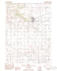
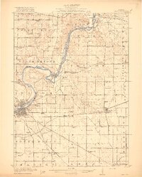 1918 Dixon1918 Print · USGSLee and Ogle Counties are captured at a pivotal moment during the First World War when the rural schoolhouse system was at its peak. Genealogists can trace family footprints across townships to landmarks like Grand Detour, Pennsylvania Corners, and the White Temple School.3 unique versions available
 - 1950 Map of Dixon, 1964 Print
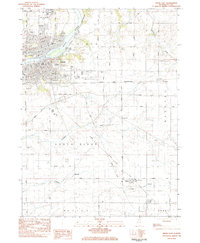
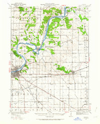 1950 Dixon1964 Print · USGSThe Rock River valley in the mid-twentieth century shows a landscape of busy river towns and dense rural school districts. Genealogists can locate family-named landmarks like Tealls Corners School, Emmert School, and the White Temple church.2 unique versions available
 - 1958 Map of Aurora, 1969 Print
 1958 Aurora1969 Print · USGSNorthern Illinois in the late fifties shows a landscape of powerful river industry and expanding transport corridors. Genealogists and historians can trace the development of Aurora and Joliet or locate sites like the Elwood Ordnance Plant and Starved Rock.3 unique versions available
 - 1961 Map of Aurora
 1961 Aurora1961 Print · USGSNorthern Illinois at the height of the post-war era reveals a landscape of massive industrial works and thriving river towns. Genealogists and historians can trace the paths of the Lincoln Highway or locate long-standing landmarks like the Green River Ordnance Plant and Starved Rock State Park.
 - 1983 Map of Daysville, 1984 Print
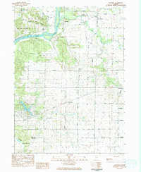 1983 Daysville1984 Print · USGSOgle County's agricultural heartland and the bluffs of the Rock River are captured here in the early 1980s. Genealogists can trace family names and local landmarks through sites like Daysville Cem, Lighthouse Ch, and the settlement of Watertown.
 - 1983 Map of Grand Detour, 1984 Print
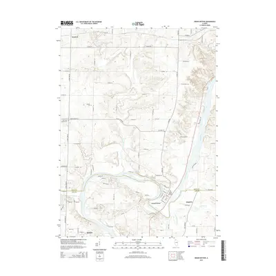
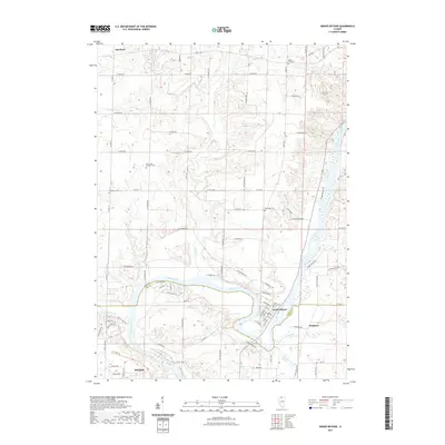
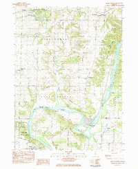 1983 Grand Detour1984 Print · USGSOgle and Lee County are captured in the early eighties as the Rock River winds through the historic horseshoe bend at Grand Detour. Genealogists and local historians can trace rural sites like Kingdom, the Pine Creek Cemetery, and the Townhall north of the river.
 - 1983 Map of Franklin Grove, 1984 Print
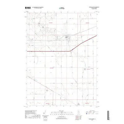
 1983 Franklin Grove1984 Print · USGSFranklin Grove and the surrounding Lee County townships are captured in the early 1980s, showcasing a mix of established village life and rural farmland. Researchers can trace family history at Temperance Hill Cem, locate the County 4-H Center, or explore the local grid of Franklin Grove.
 - 1983 Map of Dixon East, 1984 Print
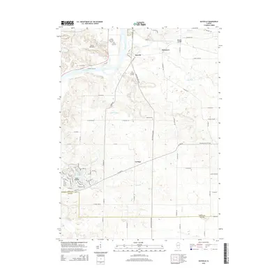
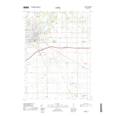
 1983 Dixon East1984 Print · USGSDixon and its surrounding townships are captured in the early 1980s as the community expanded along the Rock River. Researchers can locate historic rural burial sites like De Wolf Cem and trace the rail-side growth of Nachusa and Eldena.
 - 1985 Map of Dixon
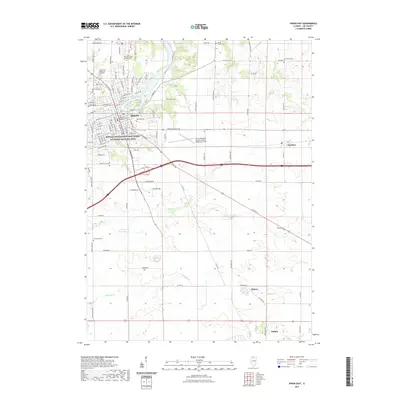
 1985 Dixon1985 Print · USGSNorth-central Illinois in the mid-eighties was a land of river cities and expansive prairies defined by rail lines and private airfields. Researchers can locate family landmarks like Oakwood Cem, the Sword Landing Strip, and Sauk Valley College while tracing the C & N W railroad.2 unique versions available
 - 2012 Map of Daysville, 2012 Print
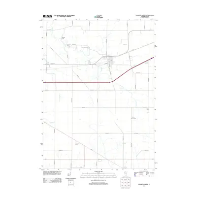
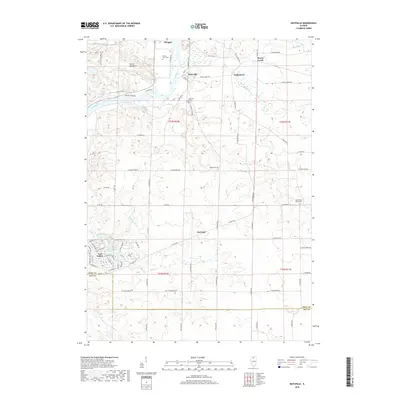
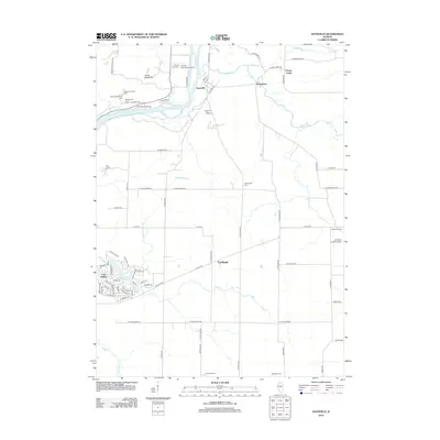 2012 Daysville2012 Print · USGSCovers Nachusa Township, including Oregon, Ashton Township, and other nearby areas
 - 2012 Map of Dixon East, 2012 Print
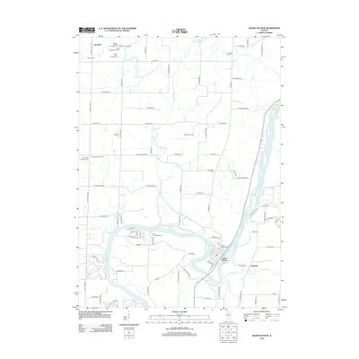
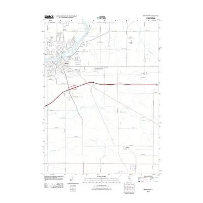 2012 Dixon East2012 Print · USGSCovers Nachusa Township, including Dixon, Amboy, and other nearby areas
 - 2012 Map of Franklin Grove, 2012 Print
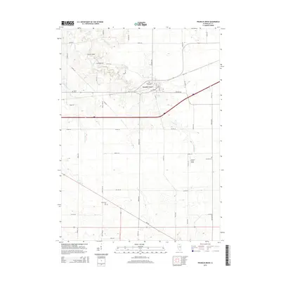
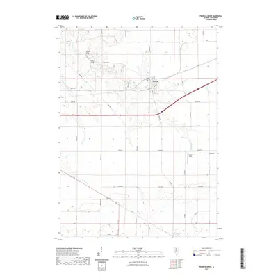
 2012 Franklin Grove2012 Print · USGSCovers Nachusa Township, including Franklin Grove, Ashton Township, and other nearby areas
 - 2012 Map of Grand Detour, 2012 Print
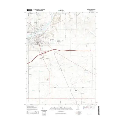
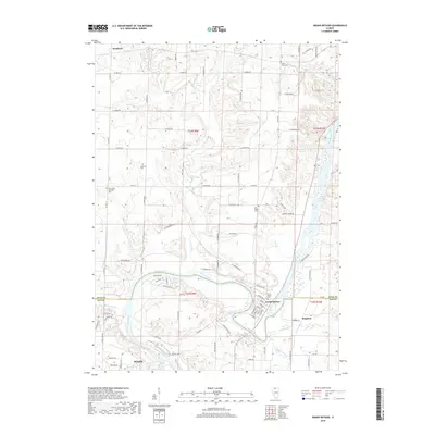
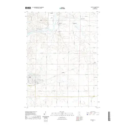
 2012 Grand Detour2012 Print · USGSCovers Nachusa Township, including Dixon, Grand Detour, and other nearby areas
 - 2015 Map of Franklin Grove, 2015 Print
 2015 Franklin Grove2015 Print · USGSCovers Nachusa Township, including Franklin Grove, Ashton Township, and other nearby areas
 - 2015 Map of Dixon East, 2015 Print
 2015 Dixon East2015 Print · USGSCovers Nachusa Township, including Dixon, Amboy, and other nearby areas
 - 2015 Map of Daysville, 2015 Print
 2015 Daysville2015 Print · USGSCovers Nachusa Township, including Oregon, Ashton Township, and other nearby areas
 - 2015 Map of Grand Detour, 2015 Print
 2015 Grand Detour2015 Print · USGSCovers Nachusa Township, including Dixon, Grand Detour, and other nearby areas
 - 2018 Map of Grand Detour, 2018 Print
 2018 Grand Detour2018 Print · USGSCovers Nachusa Township, including Dixon, Grand Detour, and other nearby areas
 - 2018 Map of Franklin Grove, 2018 Print
 2018 Franklin Grove2018 Print · USGSCovers Nachusa Township, including Franklin Grove, Ashton Township, and other nearby areas
 - 2018 Map of Dixon East, 2018 Print
 2018 Dixon East2018 Print · USGSCovers Nachusa Township, including Dixon, Amboy, and other nearby areas
 - 2018 Map of Daysville, 2018 Print
 2018 Daysville2018 Print · USGSCovers Nachusa Township, including Oregon, Ashton Township, and other nearby areas
 - 2021 Map of Dixon East, 2021 Print
 2021 Dixon East2021 Print · USGSCovers Nachusa Township, including Dixon, Amboy, and other nearby areas
 - 2021 Map of Franklin Grove, 2021 Print
 2021 Franklin Grove2021 Print · USGSCovers Nachusa Township, including Franklin Grove, Ashton Township, and other nearby areas
 - 2021 Map of Grand Detour, 2021 Print
 2021 Grand Detour2021 Print · USGSCovers Nachusa Township, including Dixon, Grand Detour, and other nearby areas
 - 2021 Map of Daysville, 2021 Print
 2021 Daysville2021 Print · USGSCovers Nachusa Township, including Oregon, Ashton Township, and other nearby areas
Showing maps 1-25 of 29
Top cities near Nachusa Township
- Dixon historical maps
- Oregon historical maps
- Mount Morris historical maps
- Palmyra historical maps
- Amboy historical maps
- Polo historical maps
See more
Top neighborhoods of Nachusa Township
Frequently asked questions
- What are the different types of historical maps available for Nachusa Township?
- What is the oldest map of Nachusa Township?
- Where can I purchase historical maps of Nachusa Township for my home or office?
- Where can I download high-res historical maps of Nachusa Township?
- Are there historical topographic maps available for Nachusa Township?
- Is there historical aerial imagery available for Nachusa Township?
- Where are historical maps of Nachusa Township sourced from?