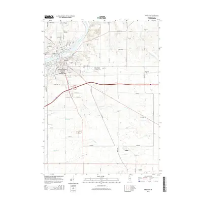
2015 Map of Dixon East
USGS Topo · Published 2015About this map
The Rock River carves a path through this section of northern Illinois, anchoring the city of Dixon and its surrounding rural townships. The urban center is famously marked by the Ronald Reagan Boyhood Home Historic Site, preserving a significant piece of local and national history near the riverbanks. Beyond the residential grid, the landscape transitions into a network of tributaries such as Threemile Br and Fivemile Br that feed into the main valley.
Find a feature on this map
68 named features on this map. Tap any name to fly to it.
Don’t see what you’re looking for? This feature index may not catch every label — zoom into the map to look around manually.
Map Details
Editions of this 2015 Dixon East Map
This is the sole edition of this map. No revisions or reprints were ever made.
Other maps of this area

1918 · Dixon
USGS Topo · 1:62,500

1930 · Woodsung
USGS Topo · 1:48,000

1946 · Sterling
USGS Topo · 1:62,500

1948 · Sterling
USGS Topo · 1:62,500

1949 · Walnut
USGS Topo · 1:62,500

1950 · Dixon
USGS Topo · 1:62,500

1951 · Amboy
USGS Topo · 1:62,500

1958 · Aurora
USGS Topo · 1:250,000

1961 · Aurora
USGS Topo · 1:250,000

1982 · Harmon
USGS Topo · 1:24,000