Old Maps of Sublette Township, Illinois for Metal Detecting
Plan your next treasure hunt with 29 historic maps of Sublette Township. Find old homesites, ghost towns, trails, and gathering spots that may be lost to time — perfect for identifying promising metal detecting locations.
- Locate forgotten sites: Uncover places like long-lost settlements, abandoned rail lines, or gathering spots.
- Plan better hunts: Use map overlays combined with LiDAR or satellite views to narrow in on historically rich areas.
- Made for detectorists: Thousands of hobbyists use these maps to discover relics, coins, and hidden history.
Use these historic maps to boost your research and find new opportunities beneath the surface of Sublette Township.
Sublette Township, IL maps
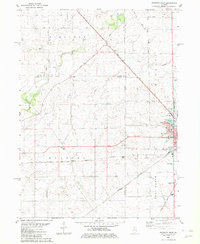
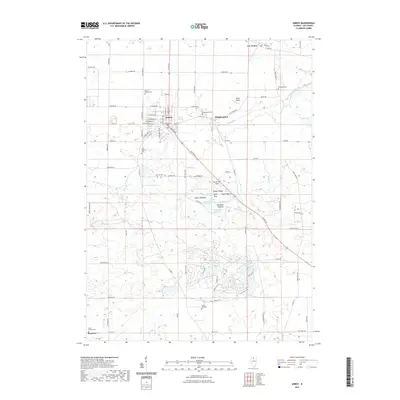
(29)- 1951 Map of Amboy, 1952 Print
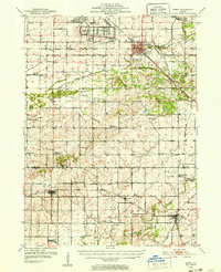 1951 Amboy1952 Print · USGSNorthern Illinois during the early fifties reveals a landscape shaped by military industry and rail transport. Genealogists can locate family landmarks like Woodside Cem, Perkins Grove Ch, and the sprawling Green River Ordnance Plant.3 unique versions available
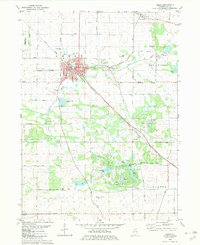
 - 1952 Map of Mendota, 1954 Print
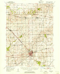 1952 Mendota1954 Print · USGSMendota was a bustling railroad crossroads in the 1950s at the junction of three major lines. Genealogists can trace family roots through numerous country burial grounds and schoolhouses like Holy Cross Cem, Restland Cem, and Schlesinger Sch.3 unique versions available
 - 1958 Map of Aurora, 1969 Print
 1958 Aurora1969 Print · USGSNorthern Illinois in the late fifties shows a landscape of powerful river industry and expanding transport corridors. Genealogists and historians can trace the development of Aurora and Joliet or locate sites like the Elwood Ordnance Plant and Starved Rock.3 unique versions available
 - 1961 Map of Aurora
 1961 Aurora1961 Print · USGSNorthern Illinois at the height of the post-war era reveals a landscape of massive industrial works and thriving river towns. Genealogists and historians can trace the paths of the Lincoln Highway or locate long-standing landmarks like the Green River Ordnance Plant and Starved Rock State Park.
 - 1982 Map of Sublette
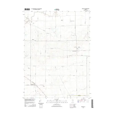
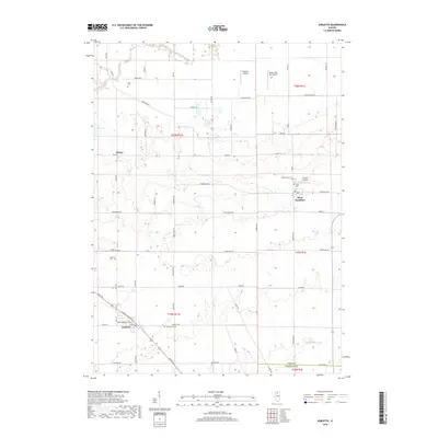
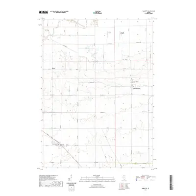
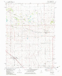 1982 Sublette1982 Print · USGSNorthern Illinois prairie land is captured here in the early eighties, showcasing the intersection of rail and rural life. Genealogists can locate family-named routes and landmarks like Montavon Road or St Marys Cem near Sublette.
 - 1982 Map of La Moille
 1982 La Moille1982 Print · USGSLa Moille and the Bureau County countryside appear here in the early 1980s, revealing a landscape defined by the Burlington Northern and the Old Indian Treaty Boundary. Genealogists and researchers can locate landmarks like Bache Memorial Chapel, Union Cem, and the small settlement of Van Orin.
 - 1982 Map of Mendota West
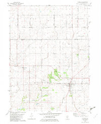
 1982 Mendota West1982 Print · USGSThe crossroads of the Bureau and La Salle county lines come alive in the early 1980s, showcasing the intersection of the Illinois Central Gulf and Burlington Northern railroads. Genealogists can trace family roots through Erbes Cem and Hetzler Cem, or locate landmarks like Blackstone Sch.
 - 1982 Map of Amboy, 1983 Print
 1982 Amboy1983 Print · USGSThe rail-and-river landscape of Lee County is captured here in the early eighties as the town of Amboy sits at a major rail junction. Genealogists and local historians can trace family plots at Prairie Repose Cem or explore the rural outskirts of Binghamton and Sublette.
 - 1985 Map of Dixon
 1985 Dixon1985 Print · USGSNorth-central Illinois in the mid-eighties was a land of river cities and expansive prairies defined by rail lines and private airfields. Researchers can locate family landmarks like Oakwood Cem, the Sword Landing Strip, and Sauk Valley College while tracing the C & N W railroad.2 unique versions available
 - 2012 Map of Amboy, 2012 Print
 2012 Amboy2012 Print · USGSCovers Sublette Township, including Amboy, Lee Center, and other nearby areas
 - 2012 Map of Sublette, 2012 Print
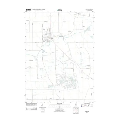
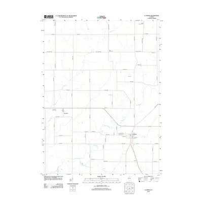
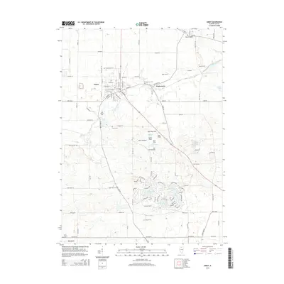
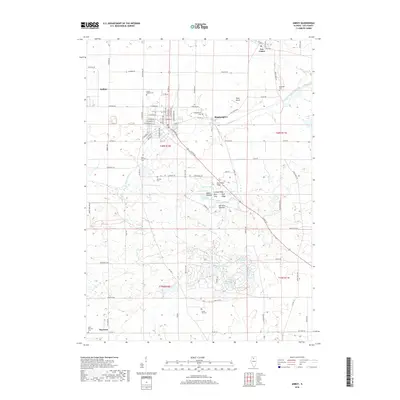
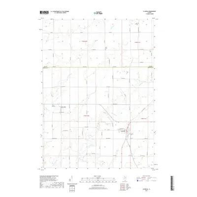
 2012 Sublette2012 Print · USGSCovers Sublette Township, including Sublette, West Brooklyn, and other nearby areas
 - 2012 Map of La Moille, 2012 Print
 2012 La Moille2012 Print · USGSCovers Sublette Township, including La Moille, Van Orin, and other nearby areas
 - 2012 Map of Mendota West, 2012 Print
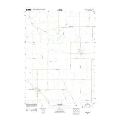
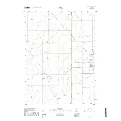
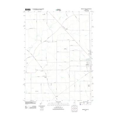 2012 Mendota West2012 Print · USGSCovers Sublette Township, including Mendota, Clarion, and other nearby areas
 - 2015 Map of La Moille, 2015 Print
 2015 La Moille2015 Print · USGSCovers Sublette Township, including La Moille, Van Orin, and other nearby areas
 - 2015 Map of Mendota West, 2015 Print
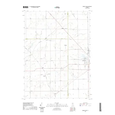
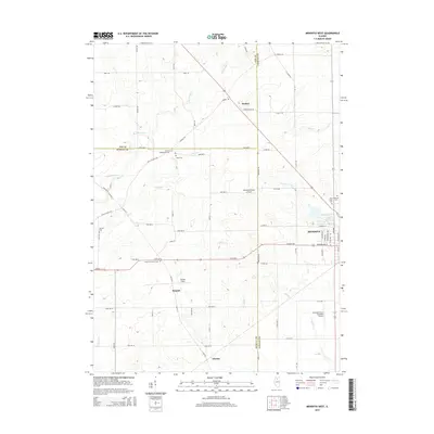 2015 Mendota West2015 Print · USGSCovers Sublette Township, including Mendota, Clarion, and other nearby areas
 - 2015 Map of Sublette, 2015 Print
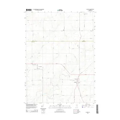
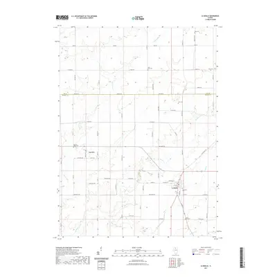
 2015 Sublette2015 Print · USGSCovers Sublette Township, including Sublette, West Brooklyn, and other nearby areas
 - 2015 Map of Amboy, 2015 Print
 2015 Amboy2015 Print · USGSCovers Sublette Township, including Amboy, Lee Center, and other nearby areas
 - 2018 Map of Sublette, 2018 Print
 2018 Sublette2018 Print · USGSCovers Sublette Township, including Sublette, West Brooklyn, and other nearby areas
 - 2018 Map of Amboy, 2018 Print
 2018 Amboy2018 Print · USGSCovers Sublette Township, including Amboy, Lee Center, and other nearby areas
 - 2018 Map of La Moille, 2018 Print
 2018 La Moille2018 Print · USGSCovers Sublette Township, including La Moille, Van Orin, and other nearby areas
 - 2018 Map of Mendota West, 2018 Print
 2018 Mendota West2018 Print · USGSCovers Sublette Township, including Mendota, Clarion, and other nearby areas
 - 2021 Map of Mendota West, 2021 Print
 2021 Mendota West2021 Print · USGSCovers Sublette Township, including Mendota, Clarion, and other nearby areas
 - 2021 Map of La Moille, 2021 Print
 2021 La Moille2021 Print · USGSCovers Sublette Township, including La Moille, Van Orin, and other nearby areas
 - 2021 Map of Amboy, 2021 Print
 2021 Amboy2021 Print · USGSCovers Sublette Township, including Amboy, Lee Center, and other nearby areas
 - 2021 Map of Sublette, 2021 Print
 2021 Sublette2021 Print · USGSCovers Sublette Township, including Sublette, West Brooklyn, and other nearby areas
Showing maps 1-25 of 29
Top cities near Sublette Township
- Dixon historical maps
- Princeton historical maps
- Mendota historical maps
- Amboy historical maps
- Franklin Grove historical maps
- Dimmick historical maps
See more
Top neighborhoods of Sublette Township
Frequently asked questions
- What are the different types of historical maps available for Sublette Township?
- What is the oldest map of Sublette Township?
- Where can I purchase historical maps of Sublette Township for my home or office?
- Where can I download high-res historical maps of Sublette Township?
- Are there historical topographic maps available for Sublette Township?
- Is there historical aerial imagery available for Sublette Township?
- Where are historical maps of Sublette Township sourced from?