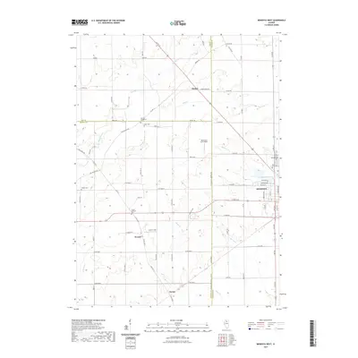
2021 Map of Mendota West
USGS Topo · Published 2021About this map
Mendota serves as a primary hub where several key waterways and travel routes converge, including Mendota Creek and the western banks of Lake Mendota. This northern Illinois landscape is defined by the intersection of three counties, with the Meridian Road corridor marking the jurisdictional divide between Bureau and LaSalle counties. The rural stretches are punctuated by small crossroads like Henkel, Wendel, and Clarion, each reflecting the region’s agricultural foundations and early religious centers.
Find a feature on this map
55 named features on this map. Tap any name to fly to it.
Don’t see what you’re looking for? This feature index may not catch every label — zoom into the map to look around manually.
Map Details
Editions of this 2021 Mendota West Map
This is the sole edition of this map. No revisions or reprints were ever made.
Other maps of this area

1893 · Hennepin
USGS Topo · 1:62,500

1893 · Lasalle
USGS Topo · 1:62,500

1909 · Hennepin
USGS Topo · 1:62,500

1911 · La Salle
USGS Topo · 1:62,500

1911 · Hennepin
USGS Topo · 1:62,500

1913 · La Salle
USGS Topo · 1:62,500

1947 · La Salle
USGS Topo · 1:62,500

1951 · Amboy
USGS Topo · 1:62,500

1952 · Mendota
USGS Topo · 1:62,500

1958 · Aurora
USGS Topo · 1:250,000